< STS61A-33-45 >
| NASA Photo ID | STS61A-33-45 |
| Focal Length | 100mm |
| Date taken | 1985.10.31 |
| Time taken | 17:26:04 GMT |
Resolutions offered for this image:
3904 x 3904 pixels 639 x 639 pixels 5700 x 5900 pixels 500 x 518 pixels 640 x 480 pixels
3904 x 3904 pixels 639 x 639 pixels 5700 x 5900 pixels 500 x 518 pixels 640 x 480 pixels
Cloud masks available for this image:
Spacecraft nadir point: 42.7° N, 75.3° W
Photo center point: 43.5° N, 74.0° W
Photo center point by machine learning:
Photo center point: 43.5° N, 74.0° W
Photo center point by machine learning:
Nadir to Photo Center: Northeast
Spacecraft Altitude: 180 nautical miles (333km)
Country or Geographic Name: | USA-NEW YORK |
Features: | ADIRONDACK MOUNTAINS |
| Features Found Using Machine Learning: | |
Cloud Cover Percentage: | 0 (no clouds present) |
Sun Elevation Angle: | 32° |
Sun Azimuth: | 191° |
Camera: | Hasselblad |
Focal Length: | 100mm |
Camera Tilt: | 27 degrees |
Format: | 5017: Kodak, natural color positive, Ektachrome, X Professional, ASA 64, standard base |
Film Exposure: | Normal |
| Additional Information | |
| Width | Height | Annotated | Cropped | Purpose | Links |
|---|---|---|---|---|---|
| 3904 pixels | 3904 pixels | No | No | Earth From Space collection | Download Image |
| 639 pixels | 639 pixels | No | No | Earth From Space collection | Download Image |
| 5700 pixels | 5900 pixels | No | No | Download Image | |
| 500 pixels | 518 pixels | No | No | Download Image | |
| 640 pixels | 480 pixels | No | No | Download Image |
Download Packaged File
Download a Google Earth KML for this Image
View photo footprint information
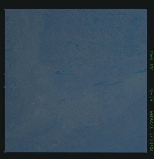
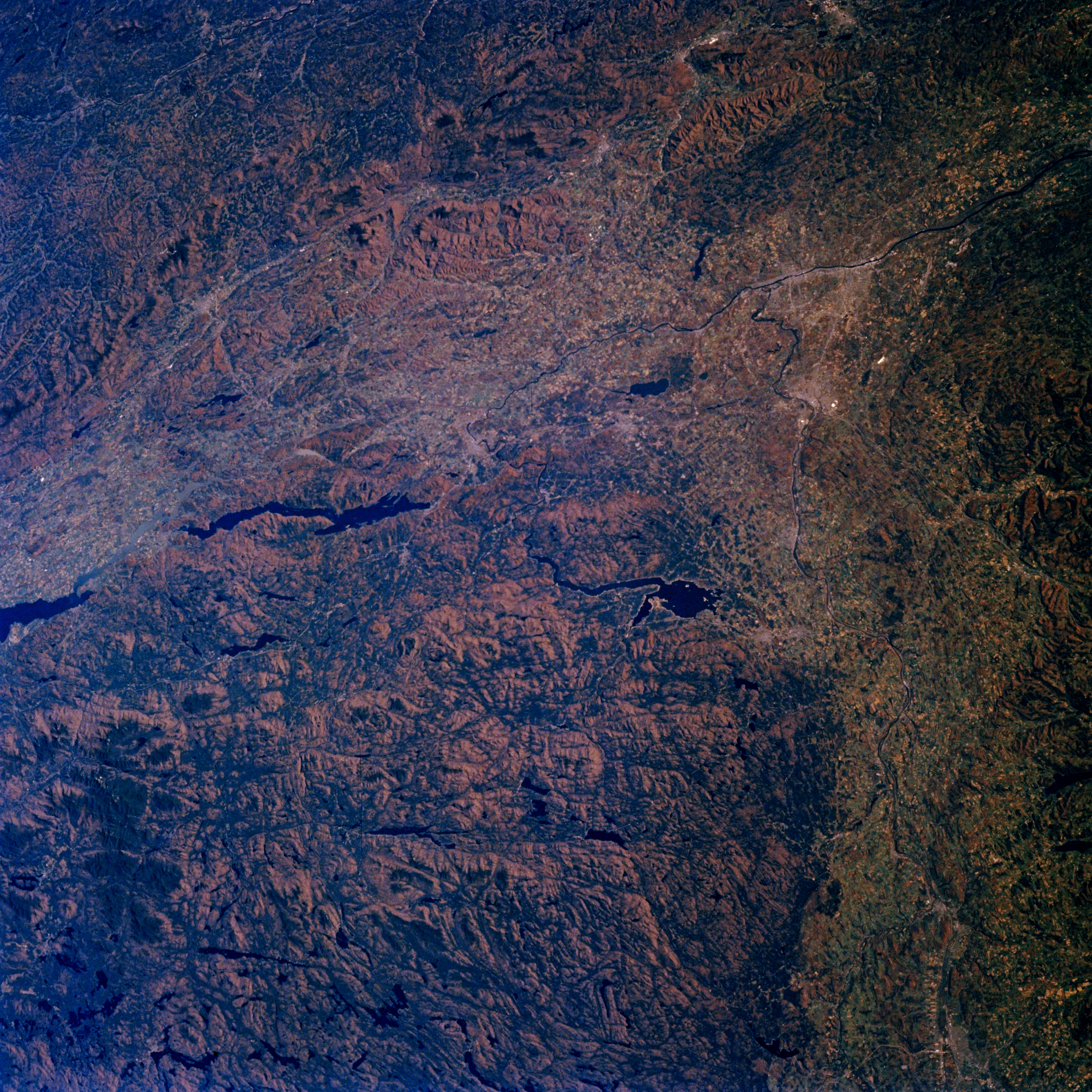
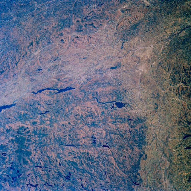
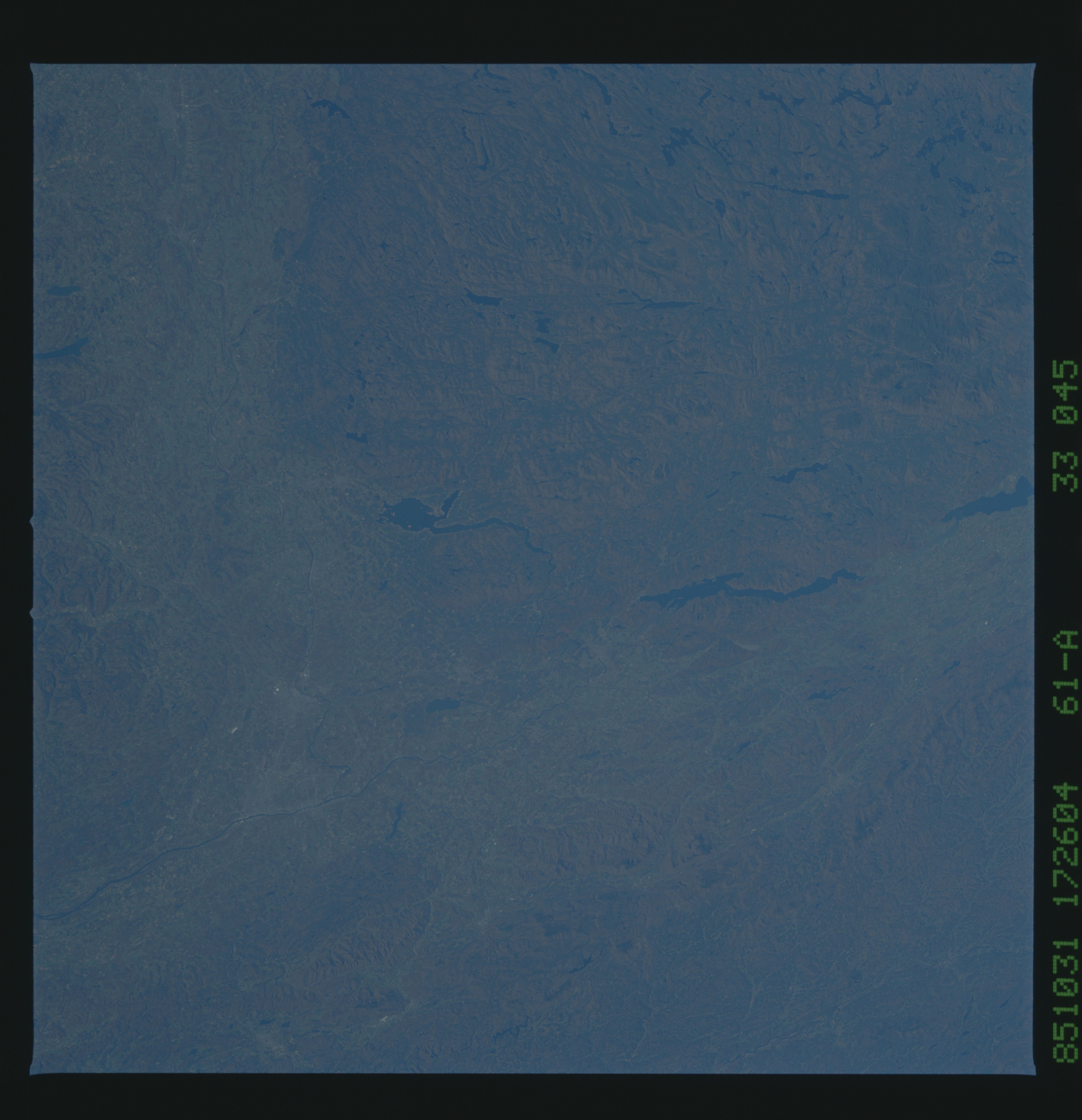
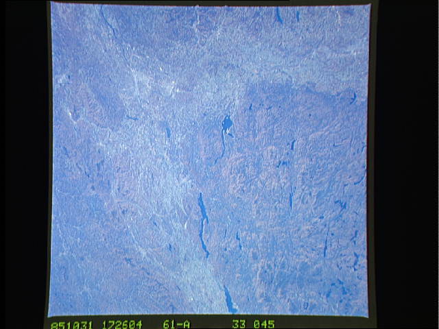
No GeoTIFF is available for this photo.Image Caption: STS61A-33-0045 Adirondack Mountains, Lakes George and Great Sacandaga, New York
November 1985
This east-looking view shows the Mohawk River Valley extending generally eastward from Utica (lower right) to the Albany Plain and the Hudson River in the upper right portion of the image. The southeastern Adirondack Mountains cover the majority of the lower left quadrant of the image. The Green Mountains of southern Vermont and northwestern Massachusetts are visible in the upper left quadrant of the image. Two large lakes and the small portion of another are discernible on the image. Near the center of the image is the Great Sacandaga Lake that is 27 miles (43 km) long and covers an area of 42 sq. miles (109 sq. km). The long linear Lake George, which is located to the northeast of Great Sacandaga Lake, is 33 miles (53 km) long. Both lakes are popular resort and recreation areas. The extreme southern portion of Lake Champlain can be seen at the left center of the image. The capital city of New York, Albany which is located on the west bank of the Hudson River, is discernible in the upper left portion of the image.
