< STS042-81-3 >
| NASA Photo ID | STS042-81-3 |
| Focal Length | 250mm |
| Date taken | 1992.01.24 |
| Time taken | 04:39:19 GMT |

Cloud masks available for this image:
Spacecraft nadir point: 27.7° N, 64.3° E
Photo center point: 24.0° N, 67.0° E
Photo center point by machine learning:
Photo center point: 24.0° N, 67.0° E
Photo center point by machine learning:
Nadir to Photo Center: Southeast
Spacecraft Altitude: 162 nautical miles (300km)
Country or Geographic Name: | PAKISTAN |
Features: | INDUS R. DELTA, VERY HAZY |
| Features Found Using Machine Learning: | |
Cloud Cover Percentage: | 30 (26-50)% |
Sun Elevation Angle: | 23° |
Sun Azimuth: | 129° |
Camera: | Hasselblad |
Focal Length: | 250mm |
Camera Tilt: | Low Oblique |
Format: | 5017: Kodak, natural color positive, Ektachrome, X Professional, ASA 64, standard base |
Film Exposure: | Normal |
| Additional Information | |
| Width | Height | Annotated | Cropped | Purpose | Links |
|---|---|---|---|---|---|
| 5700 pixels | 6000 pixels | No | No | Download Image Download Color Calibration Image for this Image |
|
| 500 pixels | 526 pixels | No | No | Download Image Download Color Calibration Image for this Image |
|
| 640 pixels | 480 pixels | No | No | Download Image |
Download Packaged File
Download a Google Earth KML for this Image
View photo footprint information
No GeoTIFF is available for this photo.Image Caption:
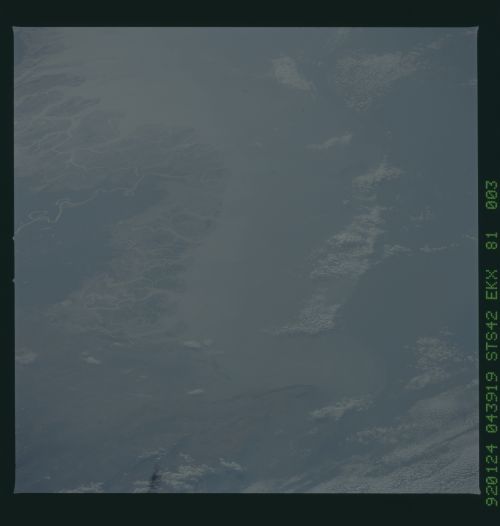
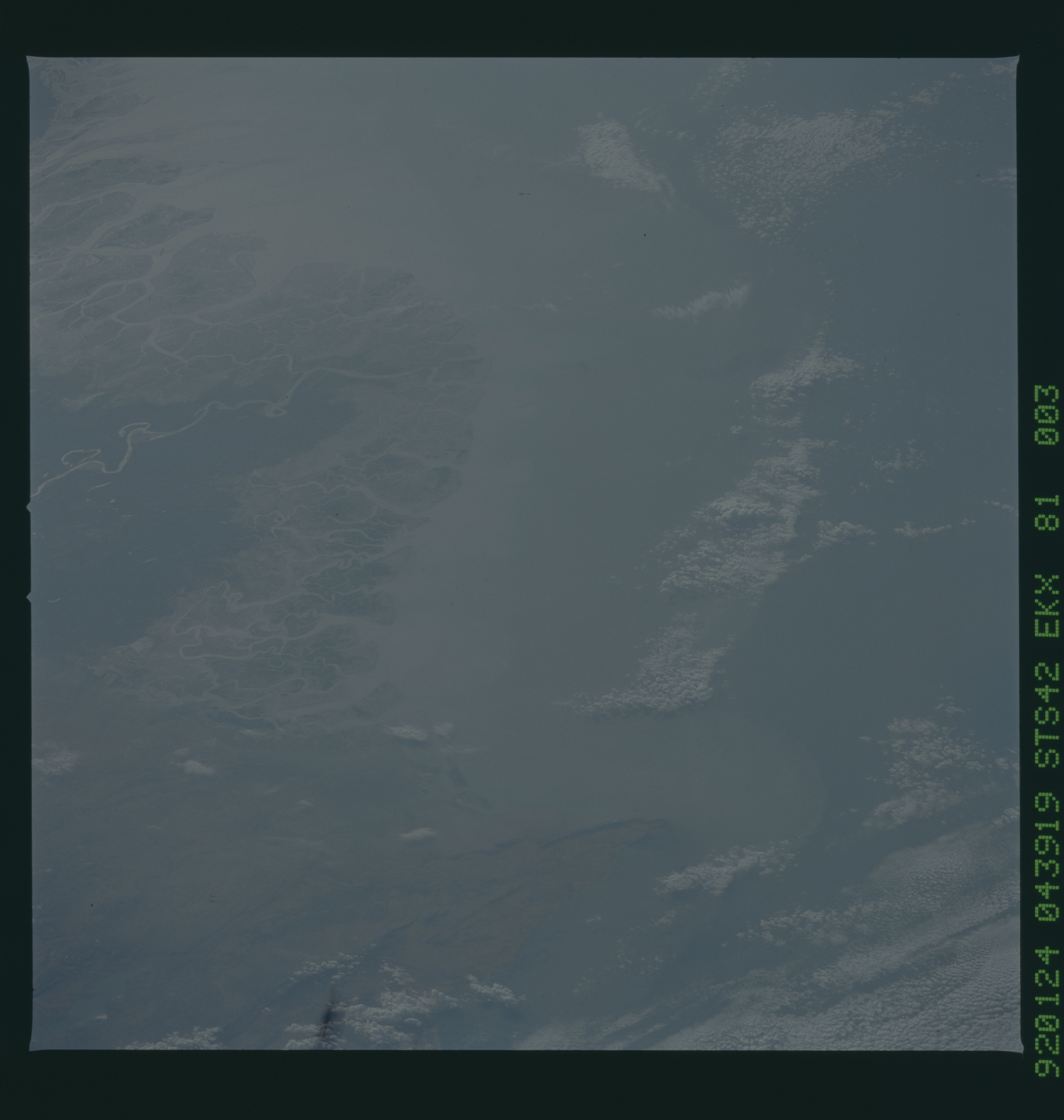
STS042-81-003 (CVIS) Indus River Delta (24.0! N, 68.0! E)
This oblique view of coastal water turbidity adjacent to
the Indus River Delta and surrounding wetlands was photographed
on 24 January at 04:39 GMT using a Hasselblad camera equipped
with natural color transparency film and a 250 mm lens. Light
scatter from a high concentration of aerosols coupled with the
long line of sight through the atmosphere obscures the subtle
changes in water color. Were the view near vertical, water color
changes associated with variations in suspended sediment type and
concentration would be more evident.
