< STS085-737-14 >
| NASA Photo ID | STS085-737-14 |
| Focal Length | 250mm |
| Date taken | 1997.08.18 |
| Time taken | 14:12:04 GMT |
Cloud masks available for this image:
Spacecraft nadir point: 56.7° N, 75.1° W
Photo center point: 56.0° N, 74.5° W
Photo center point by machine learning:
Photo center point: 56.0° N, 74.5° W
Photo center point by machine learning:
Nadir to Photo Center: Southeast
Spacecraft Altitude: 137 nautical miles (254km)
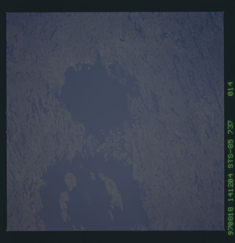
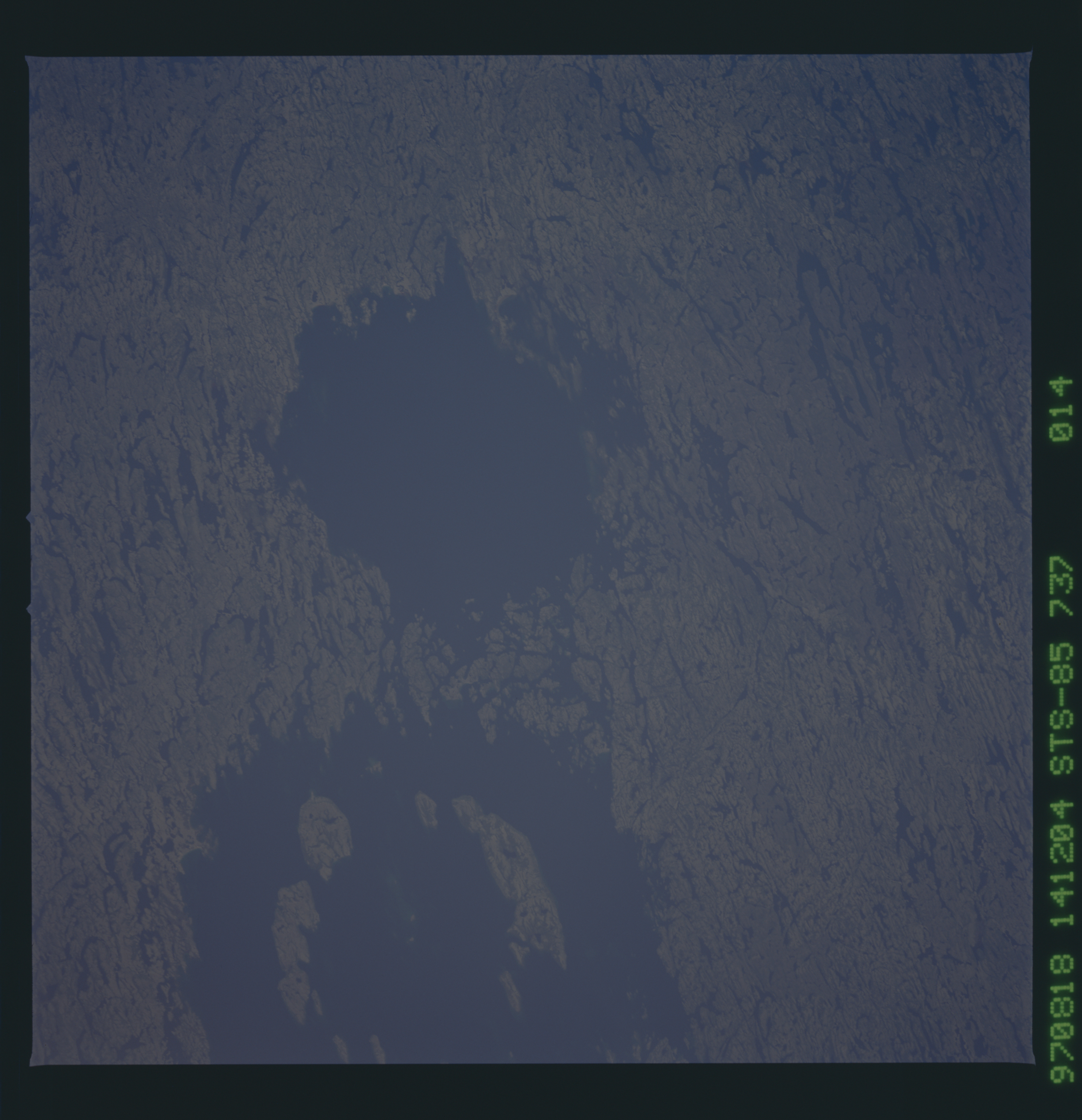
Country or Geographic Name: | CANADA-Q |
Features: | LAKE EAU CLAIRE, CRATERS |
| Features Found Using Machine Learning: | |
Cloud Cover Percentage: | 0 (no clouds present) |
Sun Elevation Angle: | 35° |
Sun Azimuth: | 125° |
Camera: | Hasselblad |
Focal Length: | 250mm |
Camera Tilt: | 22 degrees |
Format: | 5069: Kodak Elite 100S, E6 Reversal, Replaces Lumiere, Warmer in tone vs. Lumiere |
Film Exposure: | Out of Focus |
| Additional Information | |
| Width | Height | Annotated | Cropped | Purpose | Links |
|---|---|---|---|---|---|
| 5700 pixels | 5900 pixels | No | No | Download Image | |
| 483 pixels | 500 pixels | No | No | Download Image |
Download Packaged File
Download a Google Earth KML for this Image
View photo footprint information
No GeoTIFF is available for this photo.Image Caption: Regional view of Clearwater West and East impact craters in Quebec, Canada. Clearwater West is 32 km in diameter and Clearwater East is 22 km. Both are complex craters with a central ring of islands visible in Clearwater West. Below the water line Clearwater East has a pronounced central uplift that has been obscured by sedimentation and glacial erosion. The impact origin of these craters was confirmed when maskelynite (glass formed from a shock wave traveling through plagioclase minerals in gabbroic rocks) was found, along with fine shattering and intense fracturing of the target rocks. The age of both craters is 290 million years.
