STS51F-33-60

| NASA Photo ID | STS51F-33-60 |
| Focal Length | 100mm |
| Date taken | 1985.08.01 |
| Time taken | 03:12:21 GMT |
Cloud masks available for this image:
Spacecraft nadir point: 12.2° S, 134.8° E
Photo center point: 13.5° S, 130.5° E
Photo center point by machine learning:
Photo center point: 13.5° S, 130.5° E
Photo center point by machine learning:
Nadir to Photo Center: West
Spacecraft Altitude: 170 nautical miles (315km)
Country or Geographic Name: | AUSTRALIA-NT |
Features: | JOSEPH BONAPARTE GULF |
| Features Found Using Machine Learning: | |
Cloud Cover Percentage: | 20 (11-25)% |
Sun Elevation Angle: | 59° |
Sun Azimuth: | 357° |
Camera: | Hasselblad |
Focal Length: | 100mm |
Camera Tilt: | High Oblique |
Format: | 5017: Kodak, natural color positive, Ektachrome, X Professional, ASA 64, standard base |
Film Exposure: | Normal |
| Additional Information | |
| Width | Height | Annotated | Cropped | Purpose | Links |
|---|---|---|---|---|---|
| 5700 pixels | 5900 pixels | No | No | Download Image | |
| 500 pixels | 518 pixels | No | No | Download Image | |
| 640 pixels | 480 pixels | No | No | Download Image |
Download Packaged File
Download a Google Earth KML for this Image
View photo footprint information
Download a GeoTIFF for this photo
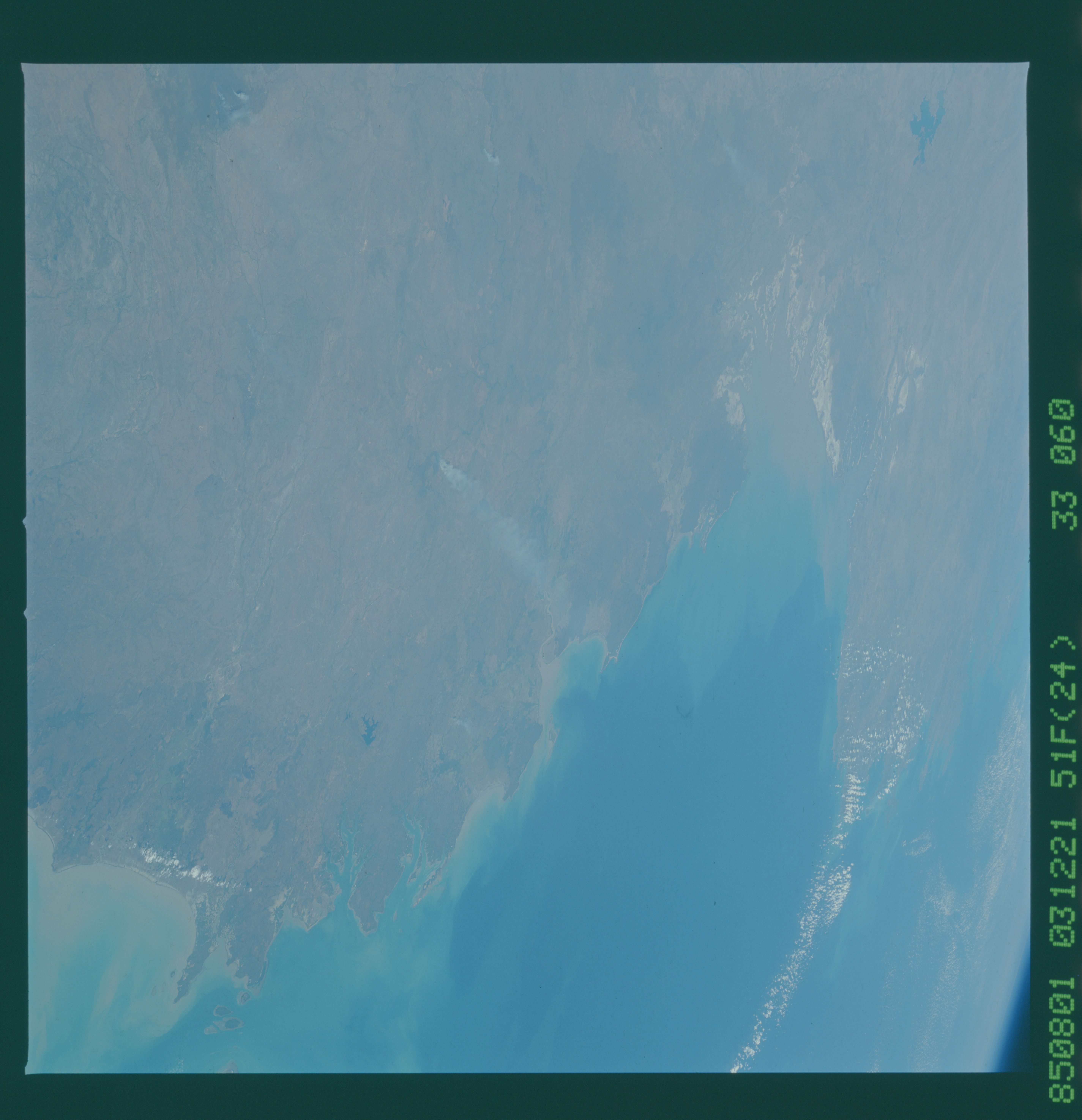
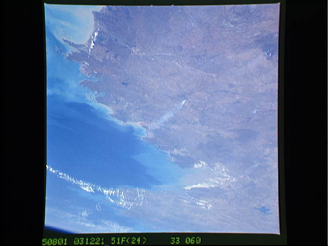
Image Caption: STS51F-33-60 Joseph Bonaparte Gulf The Joseph Bonaparte Gulf (1) is on
the northwest coast of Australia. Salt marshes cover the southern edge
of the gulf. The sediment is carried from the Kimberley Plateau. The
Australian West and North coasts continue to be sites for studying the
frequency of whitings and plankton blooms. The Daly River flows into
Anson Bay (2) from south of Anhem Land (eastward off the photo).
