STS41G-36-95
| NASA Photo ID | STS41G-36-95 |
| Focal Length | 250mm |
| Date taken | 1984.10.06 |
| Time taken | 21:03:57 GMT |
Resolutions offered for this image:
3904 x 3851 pixels 639 x 631 pixels 5700 x 5900 pixels 500 x 518 pixels 640 x 480 pixels
3904 x 3851 pixels 639 x 631 pixels 5700 x 5900 pixels 500 x 518 pixels 640 x 480 pixels


Cloud masks available for this image:
Spacecraft nadir point: 41.9° N, 113.3° W
Photo center point: 43.0° N, 113.5° W
Photo center point by machine learning:
Photo center point: 43.0° N, 113.5° W
Photo center point by machine learning:
Nadir to Photo Center: North
Spacecraft Altitude: 143 nautical miles (265km)
Country or Geographic Name: | USA-IDAHO |
Features: | CRATERS OF MOON NATL MON |
| Features Found Using Machine Learning: | |
Cloud Cover Percentage: | 0 (no clouds present) |
Sun Elevation Angle: | 37° |
Sun Azimuth: | 133° |
Camera: | Hasselblad |
Focal Length: | 250mm |
Camera Tilt: | 25 degrees |
Format: | 6017: Kodak Ektachrome 64, 220 Roll Format |
Film Exposure: | Normal |
| Additional Information | |
| Width | Height | Annotated | Cropped | Purpose | Links |
|---|---|---|---|---|---|
| 3904 pixels | 3851 pixels | No | No | Earth From Space collection | Download Image |
| 639 pixels | 631 pixels | No | No | Earth From Space collection | Download Image |
| 5700 pixels | 5900 pixels | No | No | Download Image | |
| 500 pixels | 518 pixels | No | No | Download Image | |
| 640 pixels | 480 pixels | No | No | Download Image |
Download Packaged File
Download a Google Earth KML for this Image
View photo footprint information
Download a GeoTIFF for this photo
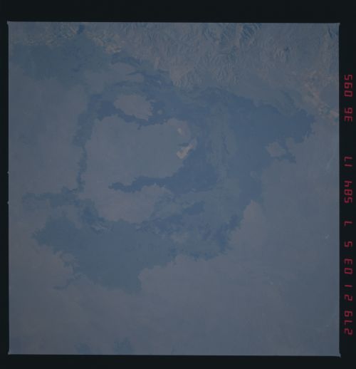
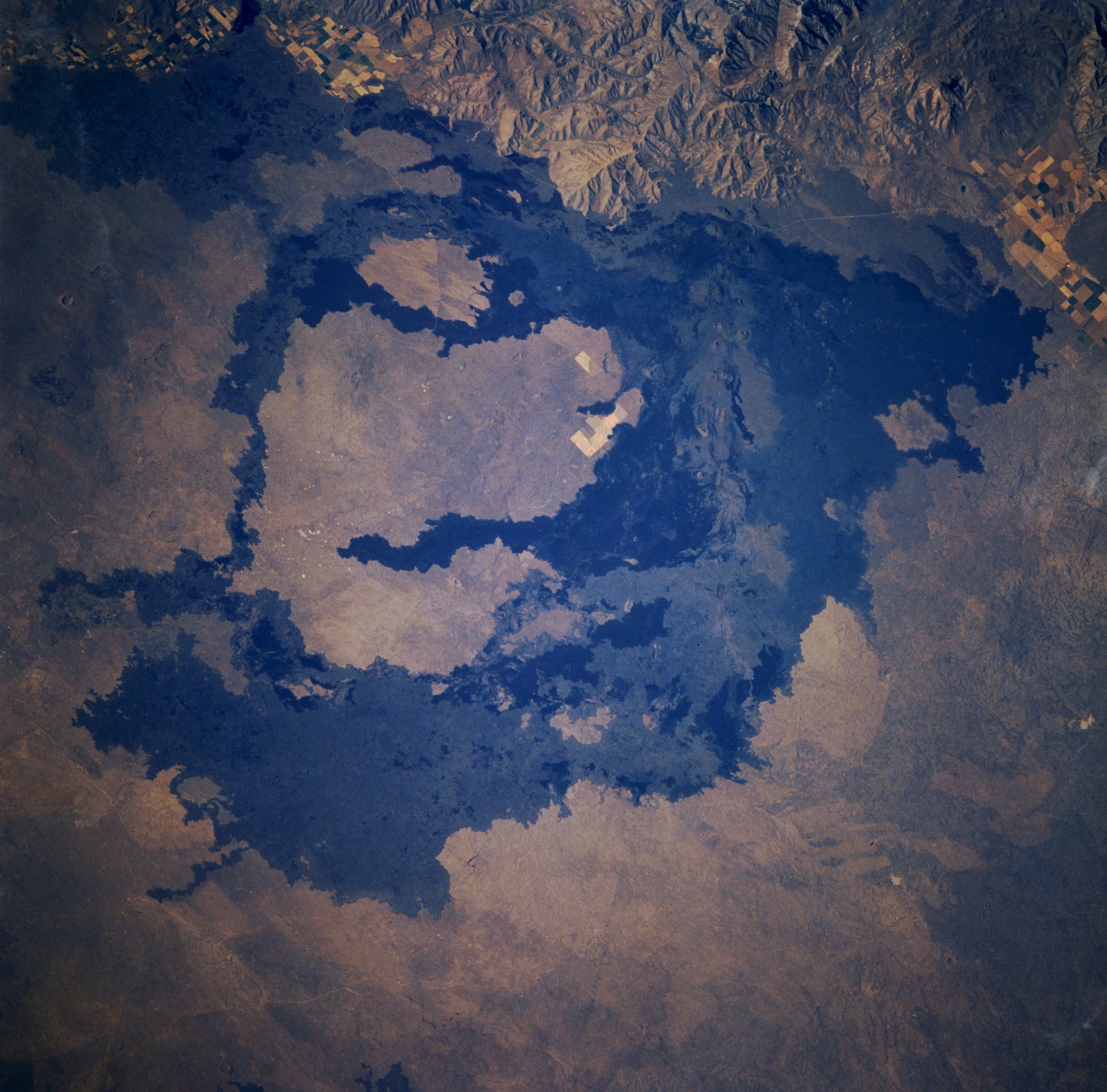
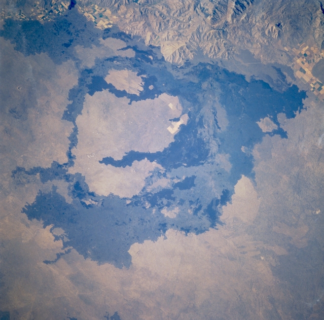
Image Caption: STS41G-036-0095 Craters of the Moon National Monument, Idaho, U.S.A. October 1984
Craters of the Moon National Monument and surrounding lava flows, located along the northern border of the Snake River Plain, are featured in this spectacular north-looking, low-oblique view. This showcase of volcanic formations, including lava flows, cinder cones, and craters, was created by a fissure about 50 miles (80 kilometers) long in the Earth's crust. Through this zone of weakness, known as the Great Rift, lava frequently welled up to the surface over thousands of years. With each successive series of eruptions, older volcanic formations were buried, and new ones were superimposed on their surfaces. The barren black lava flows were emitted during the most recent eruptions, which occurred approximately 2000 years ago.
Craters of the Moon National Monument and surrounding lava flows, located along the northern border of the Snake River Plain, are featured in this spectacular north-looking, low-oblique view. This showcase of volcanic formations, including lava flows, cinder cones, and craters, was created by a fissure about 50 miles (80 kilometers) long in the Earth's crust. Through this zone of weakness, known as the Great Rift, lava frequently welled up to the surface over thousands of years. With each successive series of eruptions, older volcanic formations were buried, and new ones were superimposed on their surfaces. The barren black lava flows were emitted during the most recent eruptions, which occurred approximately 2000 years ago.
