STS095-707-15

| NASA Photo ID | STS095-707-15 |
| Focal Length | 250mm |
| Date taken | 1998.11.01 |
| Time taken | 20:31:07 GMT |
Resolutions offered for this image:
4048 x 4048 pixels 639 x 639 pixels 479 x 479 pixels 518 x 505 pixels
4048 x 4048 pixels 639 x 639 pixels 479 x 479 pixels 518 x 505 pixels

Cloud masks available for this image:
Spacecraft nadir point: 23.7° N, 156.7° W
Photo center point: 21.0° N, 157.0° W
Photo center point by machine learning:
Photo center point: 21.0° N, 157.0° W
Photo center point by machine learning:
Nadir to Photo Center: South
Spacecraft Altitude: 293 nautical miles (543km)
Camera: | Hasselblad |
Focal Length: | 250mm |
Camera Tilt: | 29 degrees |
Format: | 5069: Kodak Elite 100S, E6 Reversal, Replaces Lumiere, Warmer in tone vs. Lumiere |
Film Exposure: | Normal |
| Additional Information | |
| Width | Height | Annotated | Cropped | Purpose | Links |
|---|---|---|---|---|---|
| 4048 pixels | 4048 pixels | No | No | Earth From Space collection | Download Image |
| 639 pixels | 639 pixels | No | No | Earth From Space collection | Download Image |
| 479 pixels | 479 pixels | Download Image | |||
| 518 pixels | 505 pixels | No | No | Download Image |
Download Packaged File
Download a Google Earth KML for this Image
View photo footprint information
Download a GeoTIFF for this photo
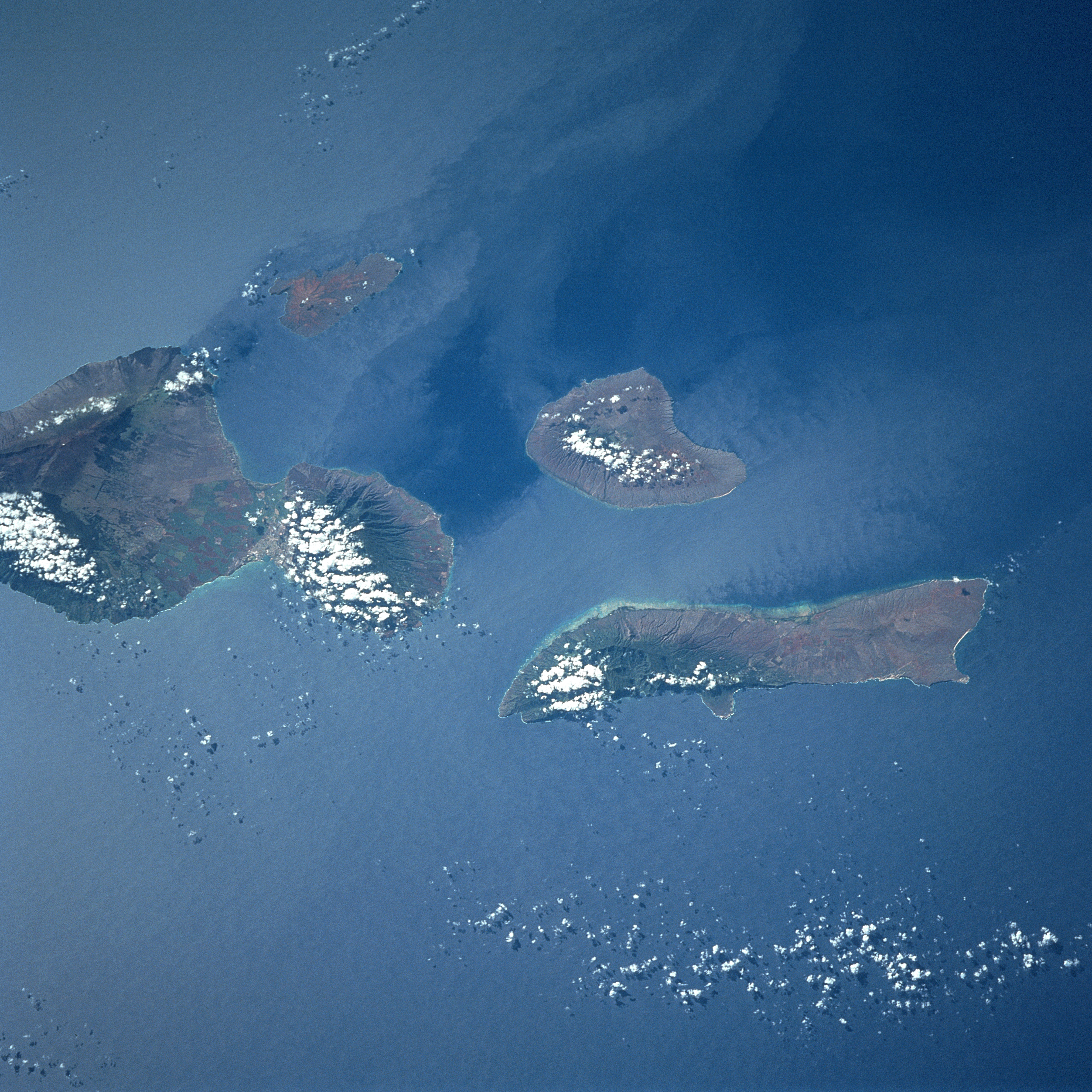
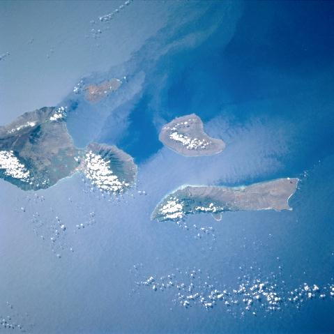
Image Caption: STS095-707-15 Lanai, Maui, and Molokai, Hawaiian Islands November 1998
The Hawaiian Islands of Maui, Kahoolawe, Lanai, and Molokai can be seen in this south-southwest-looking view. Maui (left center of the image) is the second youngest and second largest of the main Hawaiian Islands. Maui covers an area of 728 sq. miles (1886 sq. km). The island consists of two large volcanoes, West Maui (extinct) and East Maui, (Haleakala) which last erupted in 1790. Kahoolawe is the smallest of the four islands in the scene. It covers an area of 45 sq. miles (117 sq. km) and lies 10 miles (16 km) southwest of the southwestern Cape of Maui. Overgrazing and bombing by the military produced a red "Dust Bowl" in the center of the island. Lanai (near the center of the image), owned by the Dole Pineapple Company, is the remnant of a volcano that is over one million years old. Lanai covers an area of 141 sq. miles (365 sq. km) and is 18 miles (29 km) long and 13 miles (21 km) wide. Molokai (situated north of Lanai) covers an area of 261 sq. miles (676 sq. km) and is 38 miles (61 km) long and only 10 miles (16 km) wide, with the west end being very dry.
During the 1997/1998 El Nino, the usual NE tradewinds were drastically reduced and even reversed at times. The low-level equatorial winds have remained near normal across the eastern Pacific, including Hawaii, since early June 98 and stronger than normal over the western Pacific. The islands are acting as a barrier to the NE winds and creating island wakes in both the atmosphere and ocean.
