STS059-L04-30
| NASA Photo ID | STS059-L04-30 |
| Focal Length | 250mm |
| Date taken | 1994.04.14 |
| Time taken | 15:47:27 GMT |
Resolutions offered for this image:
640 x 480 pixels
640 x 480 pixels
Cloud masks available for this image:
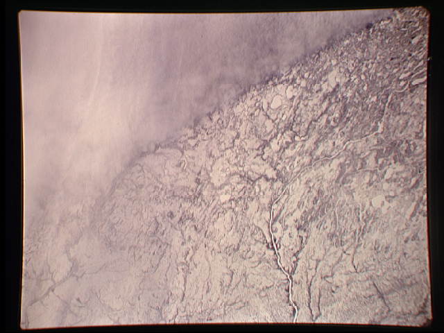
Spacecraft nadir point: 55.2° N, 88.9° W
Photo center point: 54.5° N, 89.0° W
Photo center point by machine learning:
Photo center point: 54.5° N, 89.0° W
Photo center point by machine learning:
Nadir to Photo Center: South
Spacecraft Altitude: 114 nautical miles (211km)
Country or Geographic Name: | CANADA-O |
Features: | SEVERN RIVER |
| Features Found Using Machine Learning: | |
Cloud Cover Percentage: | 35 (26-50)% |
Sun Elevation Angle: | 38° |
Sun Azimuth: | 138° |
Camera: | Linhof |
Focal Length: | 250mm |
Camera Tilt: | 20 degrees |
Format: | 5048: Kodak, natural color positive, Lumiere 100x/5048, ASA 100x, standard base |
Film Exposure: | Normal |
| Additional Information | |
| Width | Height | Annotated | Cropped | Purpose | Links |
|---|---|---|---|---|---|
| 640 pixels | 480 pixels | No | No | ISD 1 | Download Image |
Download Packaged File
Download a Google Earth KML for this Image
View photo footprint information
Download a GeoTIFF for this photo
Image Caption: none
