STS059-232-100
| NASA Photo ID | STS059-232-100 |
| Focal Length | 250mm |
| Date taken | 1994.04.19 |
| Time taken | 04:09:11 GMT |
Cloud masks available for this image:
Spacecraft nadir point: 30.7° S, 150.1° E
Photo center point: 30.5° S, 149.5° E
Photo center point by machine learning:
Photo center point: 30.5° S, 149.5° E
Photo center point by machine learning:
Nadir to Photo Center: West
Spacecraft Altitude: 114 nautical miles (211km)
Country or Geographic Name: | AUSTRALIA-NSW |
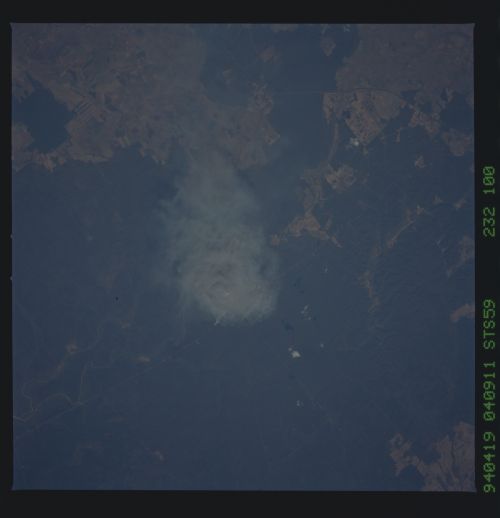
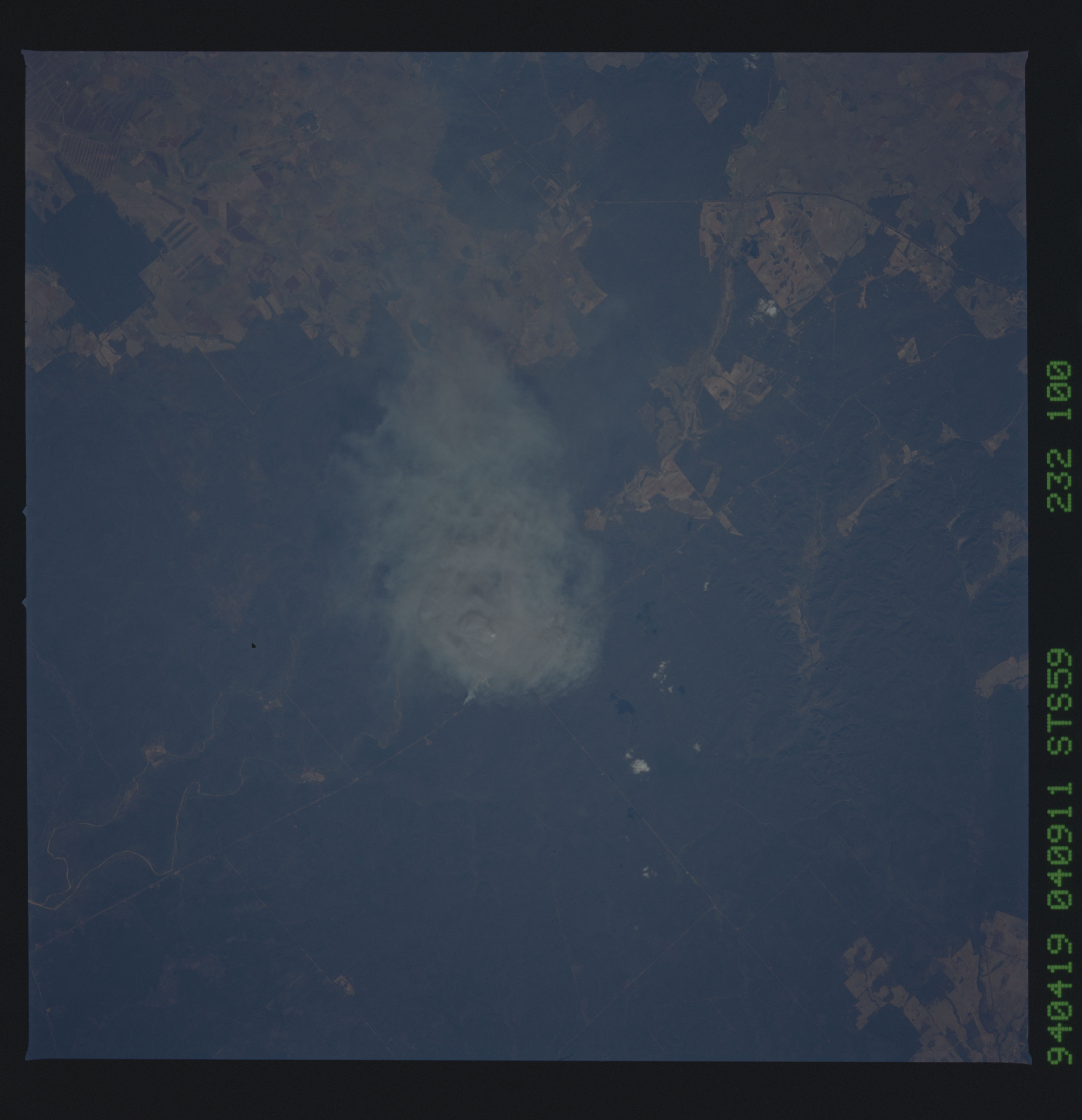
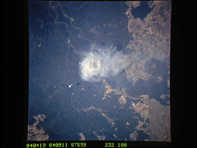
Features: | SMOKE PLUME, NR NARRIBRI |
| Features Found Using Machine Learning: | |
Cloud Cover Percentage: | 0 (no clouds present) |
Sun Elevation Angle: | 38° |
Sun Azimuth: | 318° |
Camera: | Hasselblad |
Focal Length: | 250mm |
Camera Tilt: | 18 degrees |
Format: | 5046: Kodak, natural color positive, Lumiere 100/5046, ASA 100, standard base |
Film Exposure: | Normal |
| Additional Information | |
| Width | Height | Annotated | Cropped | Purpose | Links |
|---|---|---|---|---|---|
| 5700 pixels | 5900 pixels | No | No | Download Image | |
| 500 pixels | 518 pixels | No | No | Download Image | |
| 640 pixels | 480 pixels | No | No | Download Image |
Download Packaged File
Download a Google Earth KML for this Image
View photo footprint information
Download a GeoTIFF for this photo
Image Caption: This photo shows prescribed burn conducted 19 April 1994 in the Pilliga Nature Reserve, between the towns of Coonabarabran and Narrabri, New South Wales. According to the National Parks and Wildlife Service, the burn was conducted as part of a regular program of prescribed fires that have the objective of limiting the spread of summer wildfires. The final area burnt was 1900 hectares. The Pilliga Scrub is very fire prone, and has periodic fire events exceeding 100,000 hectares. The largest event was 350,000 hectares in 1951.
