STS058-86-23
| NASA Photo ID | STS058-86-23 |
| Focal Length | 100mm |
| Date taken | 1993.10.22 |
| Time taken | 12:17:32 GMT |
Resolutions offered for this image:
4056 x 4056 pixels 640 x 640 pixels 5700 x 5900 pixels 500 x 518 pixels 640 x 480 pixels
4056 x 4056 pixels 640 x 640 pixels 5700 x 5900 pixels 500 x 518 pixels 640 x 480 pixels

Cloud masks available for this image:
Spacecraft nadir point: 37.5° N, 2.6° W
Photo center point:
Photo center point by machine learning:
Photo center point:
Photo center point by machine learning:
Nadir to Photo Center:
Spacecraft Altitude: 155 nautical miles (287km)
Country or Geographic Name: | SPAIN |
Features: | BAETIC MOUNTAINS |
| Features Found Using Machine Learning: | |
Cloud Cover Percentage: | 5 (1-10)% |
Sun Elevation Angle: | 41° |
Sun Azimuth: | 187° |
Camera: | Hasselblad |
Focal Length: | 100mm |
Camera Tilt: | Low Oblique |
Format: | 5017: Kodak, natural color positive, Ektachrome, X Professional, ASA 64, standard base |
Film Exposure: | Normal |
| Additional Information | |
| Width | Height | Annotated | Cropped | Purpose | Links |
|---|---|---|---|---|---|
| 4056 pixels | 4056 pixels | No | No | Earth From Space collection | Download Image |
| 640 pixels | 640 pixels | No | No | Earth From Space collection | Download Image |
| 5700 pixels | 5900 pixels | No | No | Download Image | |
| 500 pixels | 518 pixels | No | No | Download Image | |
| 640 pixels | 480 pixels | No | No | Download Image |
Download Packaged File
Download a Google Earth KML for this Image
View photo footprint information
Download a GeoTIFF for this photo
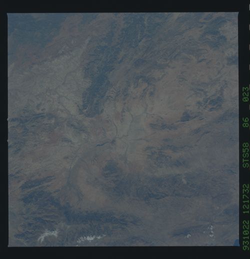
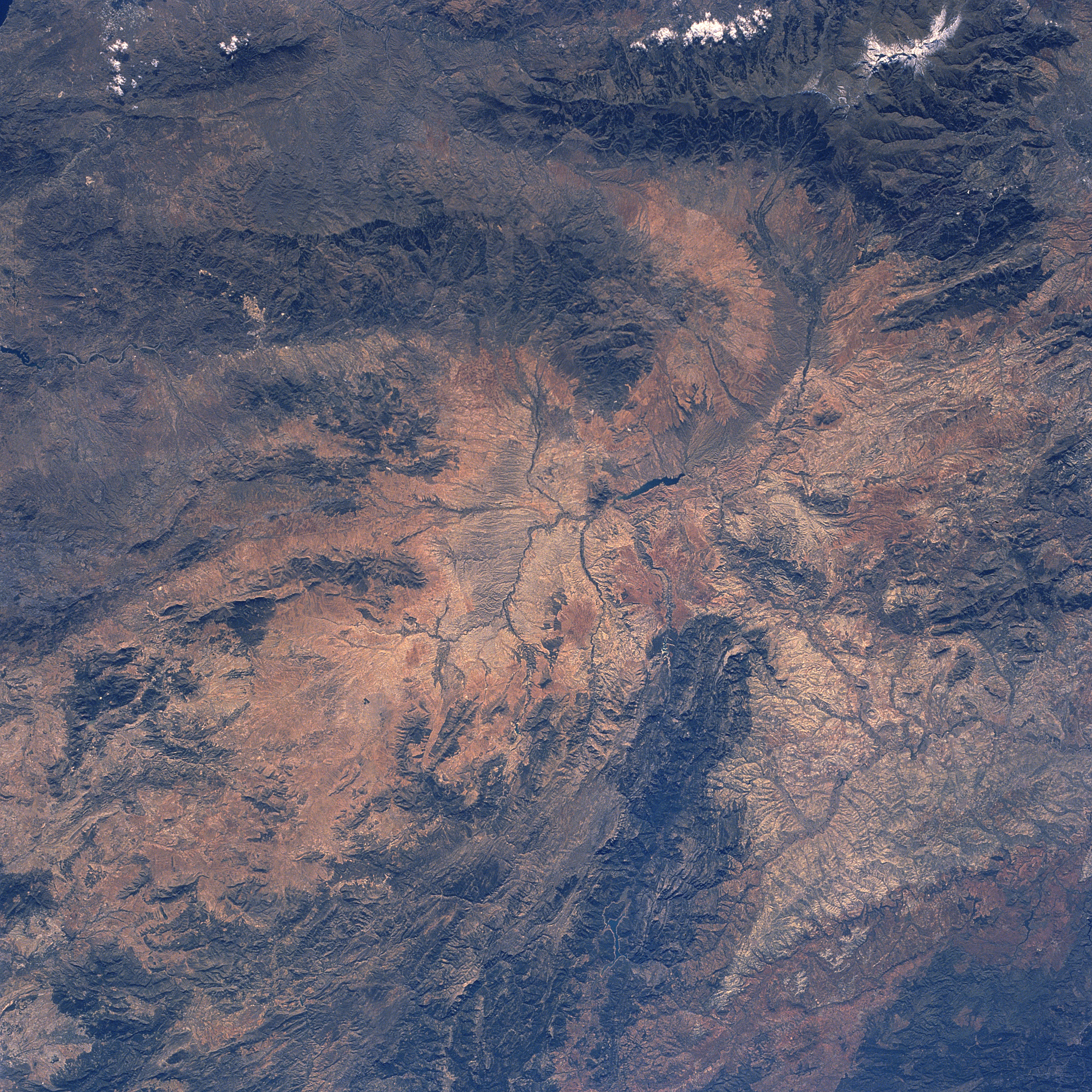
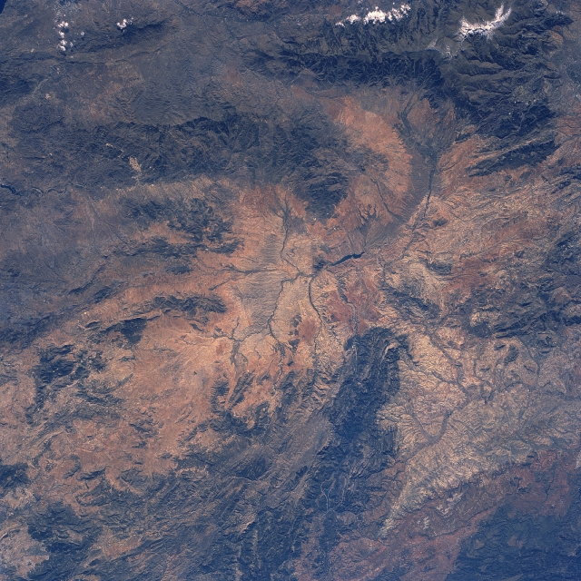
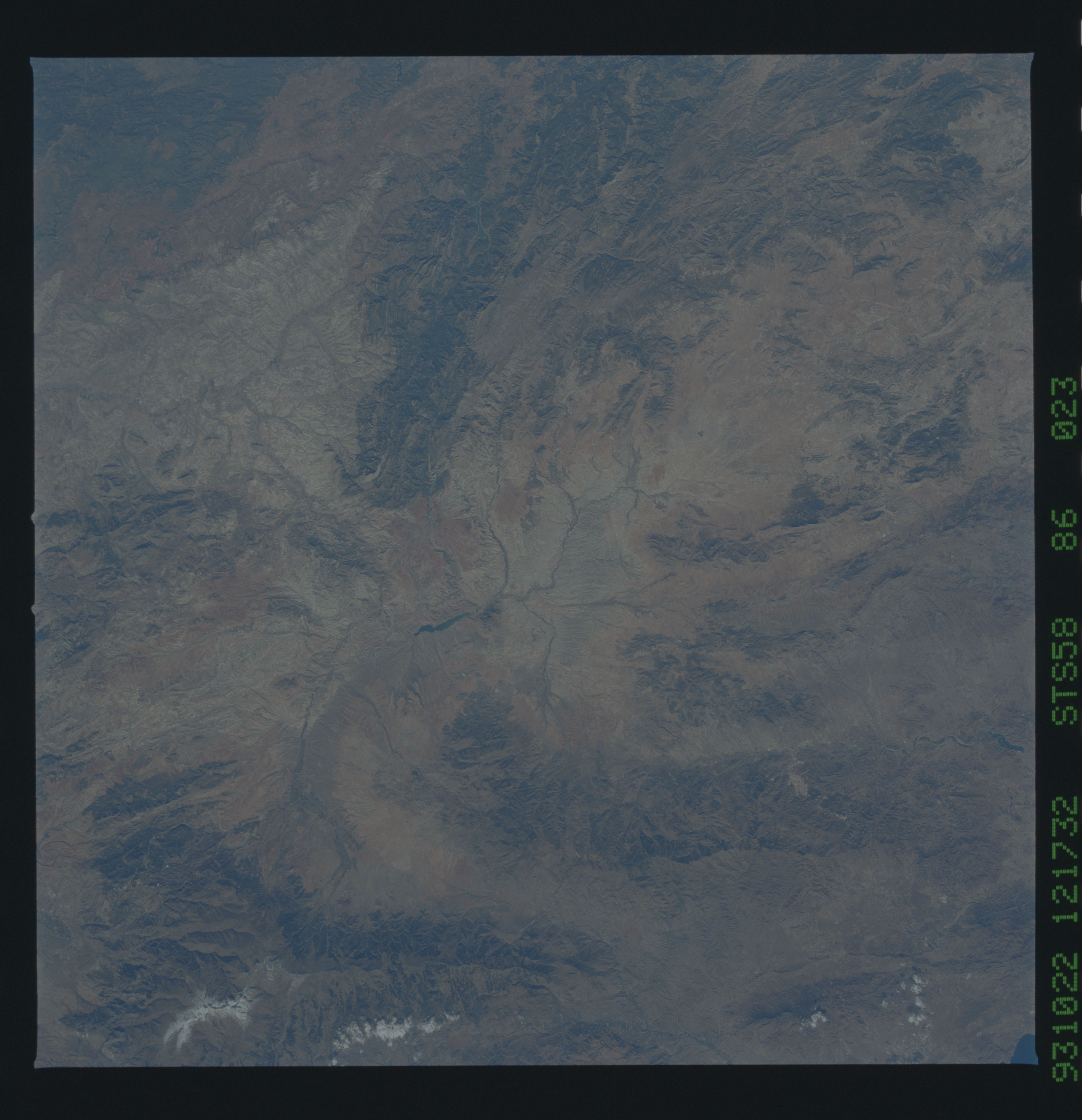
Image Caption: STS58-86-023 Mountainous Area, Southeast Spain October 1993
The thin, dark lines that wind across this arid landscape of southeast Spain are tributaries of the Guadalquivir River drainage basin. The headwaters of the Guadalquivir River rise in southeastern Spain, flow westward, and eventually empty into the Atlantic Ocean north of Cadiz. The tributary streams are fed by runoff from several mountains (darker features) including in this image the southwest to northeast trending Sierra de Segura (bottom center); the east-west aligned Sierra de los Filabres (slightly above center); and the more massive-looking Sierra Nevada (upper right corner). Several other (smaller) mountain ranges are also visible across the scene. A small reservoir (dark, elongated feature) is observed near the center of the image.
The thin, dark lines that wind across this arid landscape of southeast Spain are tributaries of the Guadalquivir River drainage basin. The headwaters of the Guadalquivir River rise in southeastern Spain, flow westward, and eventually empty into the Atlantic Ocean north of Cadiz. The tributary streams are fed by runoff from several mountains (darker features) including in this image the southwest to northeast trending Sierra de Segura (bottom center); the east-west aligned Sierra de los Filabres (slightly above center); and the more massive-looking Sierra Nevada (upper right corner). Several other (smaller) mountain ranges are also visible across the scene. A small reservoir (dark, elongated feature) is observed near the center of the image.
