STS056-77-45
| NASA Photo ID | STS056-77-45 |
| Focal Length | 100mm |
| Date taken | 1993.04.10 |
| Time taken | 15:15:32 GMT |
Resolutions offered for this image:
3904 x 3904 pixels 639 x 639 pixels 5700 x 6000 pixels 500 x 526 pixels 640 x 480 pixels
3904 x 3904 pixels 639 x 639 pixels 5700 x 6000 pixels 500 x 526 pixels 640 x 480 pixels

Cloud masks available for this image:
Spacecraft nadir point: 31.7° N, 103.5° W
Photo center point: 32.5° N, 101.5° W
Photo center point by machine learning:
Photo center point: 32.5° N, 101.5° W
Photo center point by machine learning:
Nadir to Photo Center: East
Spacecraft Altitude: 162 nautical miles (300km)
Country or Geographic Name: | USA-TEXAS |
Features: | BIG SPRING, MIDLAND |
| Features Found Using Machine Learning: | |
Cloud Cover Percentage: | 5 (1-10)% |
Sun Elevation Angle: | 34° |
Sun Azimuth: | 102° |
Camera: | Hasselblad |
Focal Length: | 100mm |
Camera Tilt: | 39 degrees |
Format: | 5017: Kodak, natural color positive, Ektachrome, X Professional, ASA 64, standard base |
Film Exposure: | Normal |
| Additional Information | |
| Width | Height | Annotated | Cropped | Purpose | Links |
|---|---|---|---|---|---|
| 3904 pixels | 3904 pixels | No | No | Earth From Space collection | Download Image |
| 639 pixels | 639 pixels | No | No | Earth From Space collection | Download Image |
| 5700 pixels | 6000 pixels | No | No | Download Image | |
| 500 pixels | 526 pixels | No | No | Download Image | |
| 640 pixels | 480 pixels | No | No | Download Image |
Download Packaged File
Download a Google Earth KML for this Image
View photo footprint information
Download a GeoTIFF for this photo
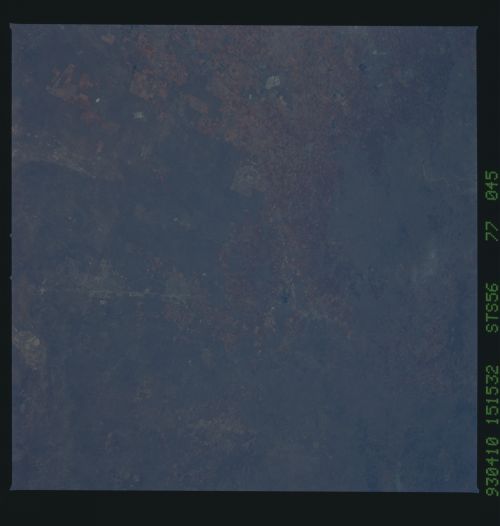
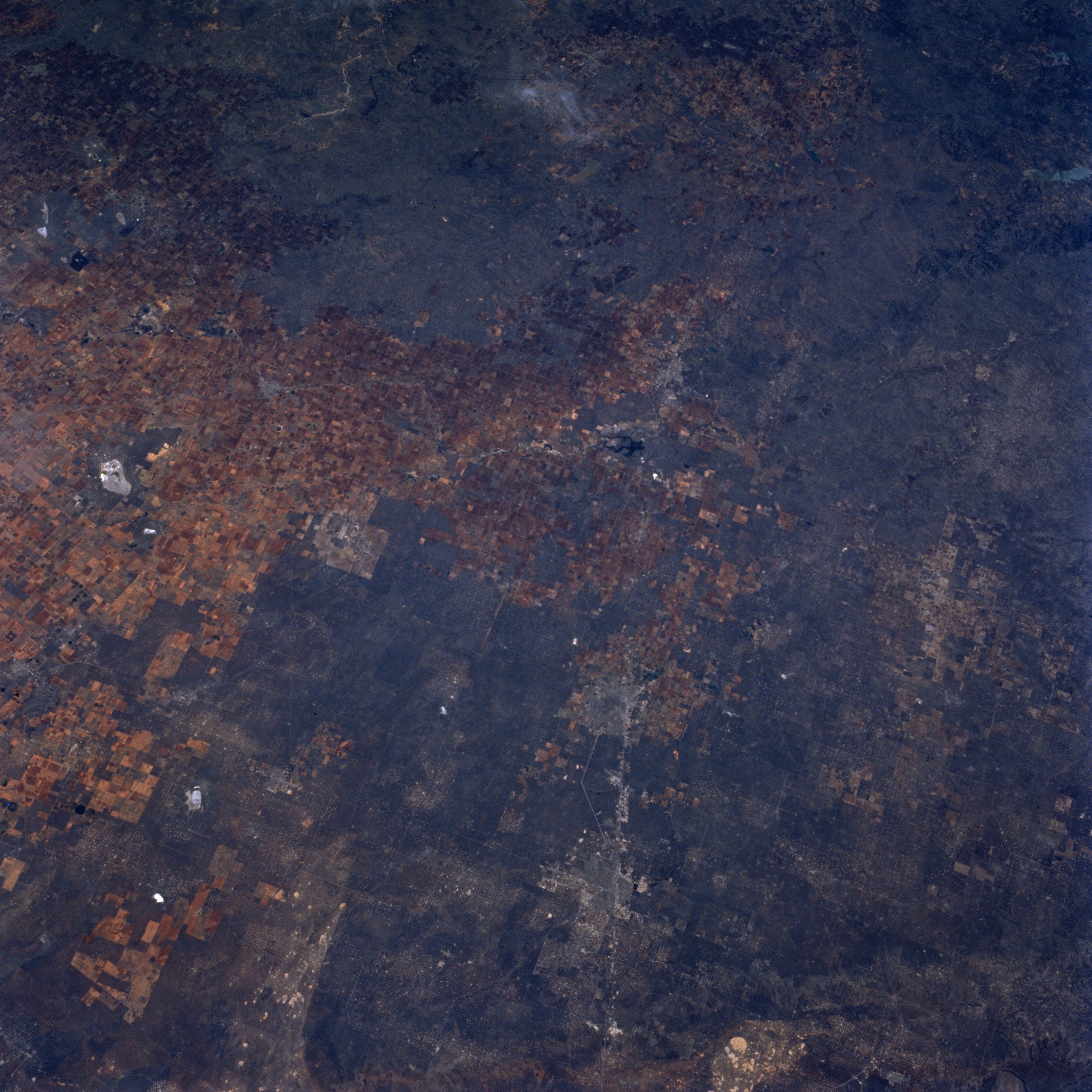
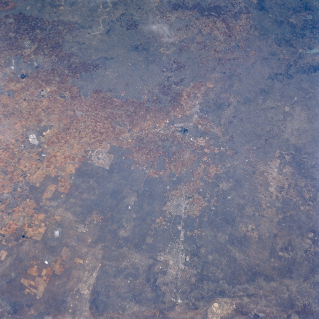
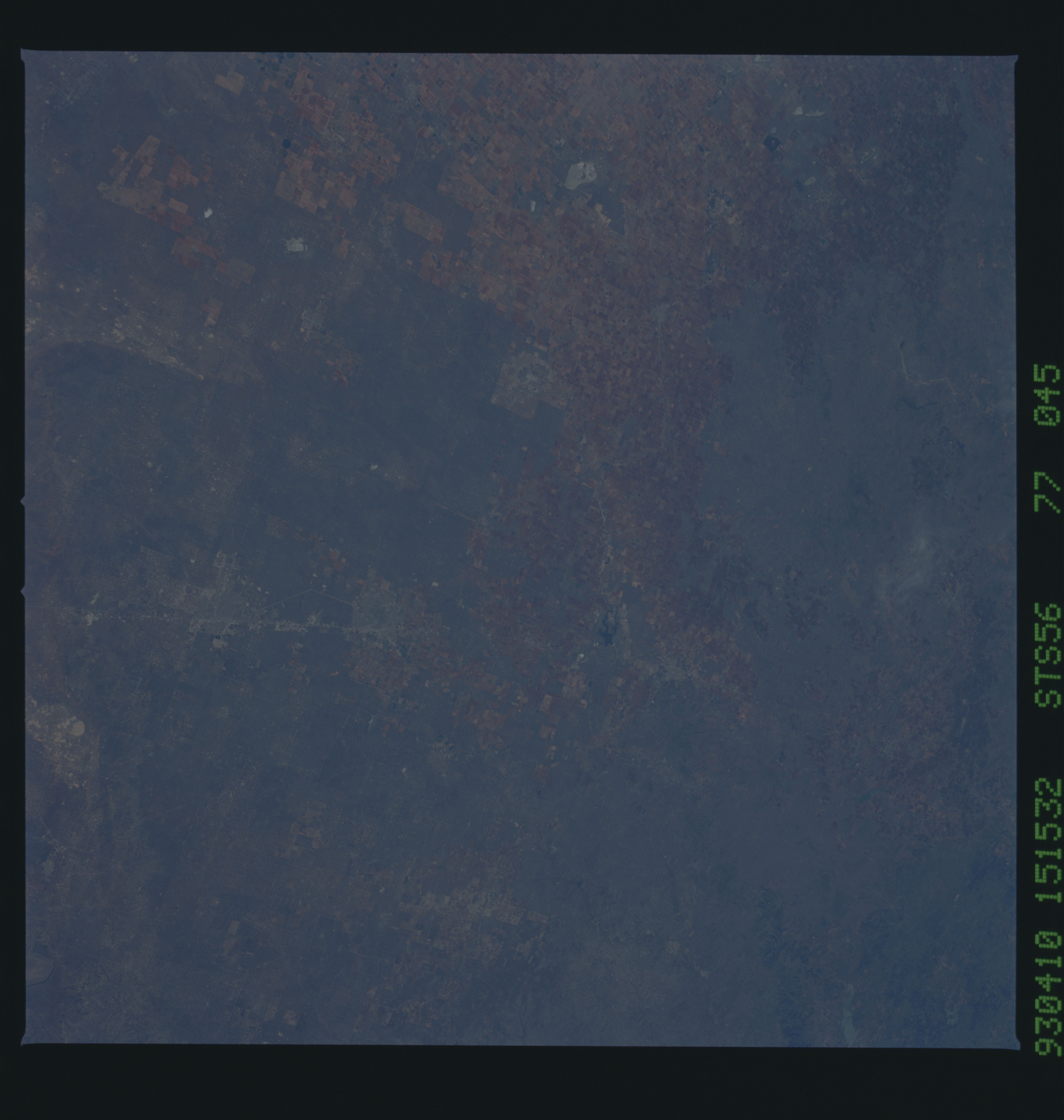
Image Caption: STS056-077-045 High Plains, Texas, U.S.A. April 1993
Barely discernible are the faint outlines of Odessa and Midland along Interstate Highway 20 in this northeast-looking photograph of the high plains of west Texas. Most of the urban development for these cities has occurred on the north side of the interstate highway. Visible 30 miles (48 kilometers) east of Midland is small, dark Natural Dam Salt Lake, and to its east is northwest-southeast-oriented U.S. Highway 87 that connects Big Spring and Lamesa. The dark landscape denotes extensive areas of scrubby, desert vegetation, which provide scarce grazing for cattle in these relatively flat, slightly elevated plains. Numerous oil and gas fields are scattered throughout this region, many of which can be identified by a concentration of uniformly spaced white dots. Visible is the eastern edge of Monahans Sandhills State Park (bottom of photograph).
Barely discernible are the faint outlines of Odessa and Midland along Interstate Highway 20 in this northeast-looking photograph of the high plains of west Texas. Most of the urban development for these cities has occurred on the north side of the interstate highway. Visible 30 miles (48 kilometers) east of Midland is small, dark Natural Dam Salt Lake, and to its east is northwest-southeast-oriented U.S. Highway 87 that connects Big Spring and Lamesa. The dark landscape denotes extensive areas of scrubby, desert vegetation, which provide scarce grazing for cattle in these relatively flat, slightly elevated plains. Numerous oil and gas fields are scattered throughout this region, many of which can be identified by a concentration of uniformly spaced white dots. Visible is the eastern edge of Monahans Sandhills State Park (bottom of photograph).
