STS056-77-36
| NASA Photo ID | STS056-77-36 |
| Focal Length | 100mm |
| Date taken | 1993.04.10 |
| Time taken | 15:14:47 GMT |
Resolutions offered for this image:
3904 x 3904 pixels 639 x 639 pixels 5700 x 6000 pixels 500 x 526 pixels 640 x 480 pixels
3904 x 3904 pixels 639 x 639 pixels 5700 x 6000 pixels 500 x 526 pixels 640 x 480 pixels
Cloud masks available for this image:
Spacecraft nadir point: 34.0° N, 105.6° W
Photo center point: 33.5° N, 105.5° W
Photo center point by machine learning:
Photo center point: 33.5° N, 105.5° W
Photo center point by machine learning:
Nadir to Photo Center: South
Spacecraft Altitude: 162 nautical miles (300km)
Country or Geographic Name: | USA-NEW MEXICO |
Features: | SIERRA BLANCA, LAVA FIELD |
| Features Found Using Machine Learning: | |
Cloud Cover Percentage: | 0 (no clouds present) |
Sun Elevation Angle: | 31° |
Sun Azimuth: | 102° |
Camera: | Hasselblad |
Focal Length: | 100mm |
Camera Tilt: | 11 degrees |
Format: | 5017: Kodak, natural color positive, Ektachrome, X Professional, ASA 64, standard base |
Film Exposure: | Normal |
| Additional Information | |
| Width | Height | Annotated | Cropped | Purpose | Links |
|---|---|---|---|---|---|
| 3904 pixels | 3904 pixels | No | No | Earth From Space collection | Download Image |
| 639 pixels | 639 pixels | No | No | Earth From Space collection | Download Image |
| 5700 pixels | 6000 pixels | No | No | Download Image | |
| 500 pixels | 526 pixels | No | No | Download Image | |
| 640 pixels | 480 pixels | No | No | Download Image |
Download Packaged File
Download a Google Earth KML for this Image
View photo footprint information
Download a GeoTIFF for this photo
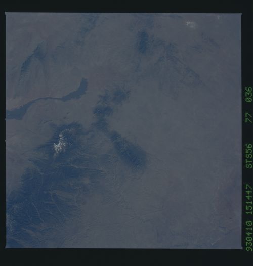
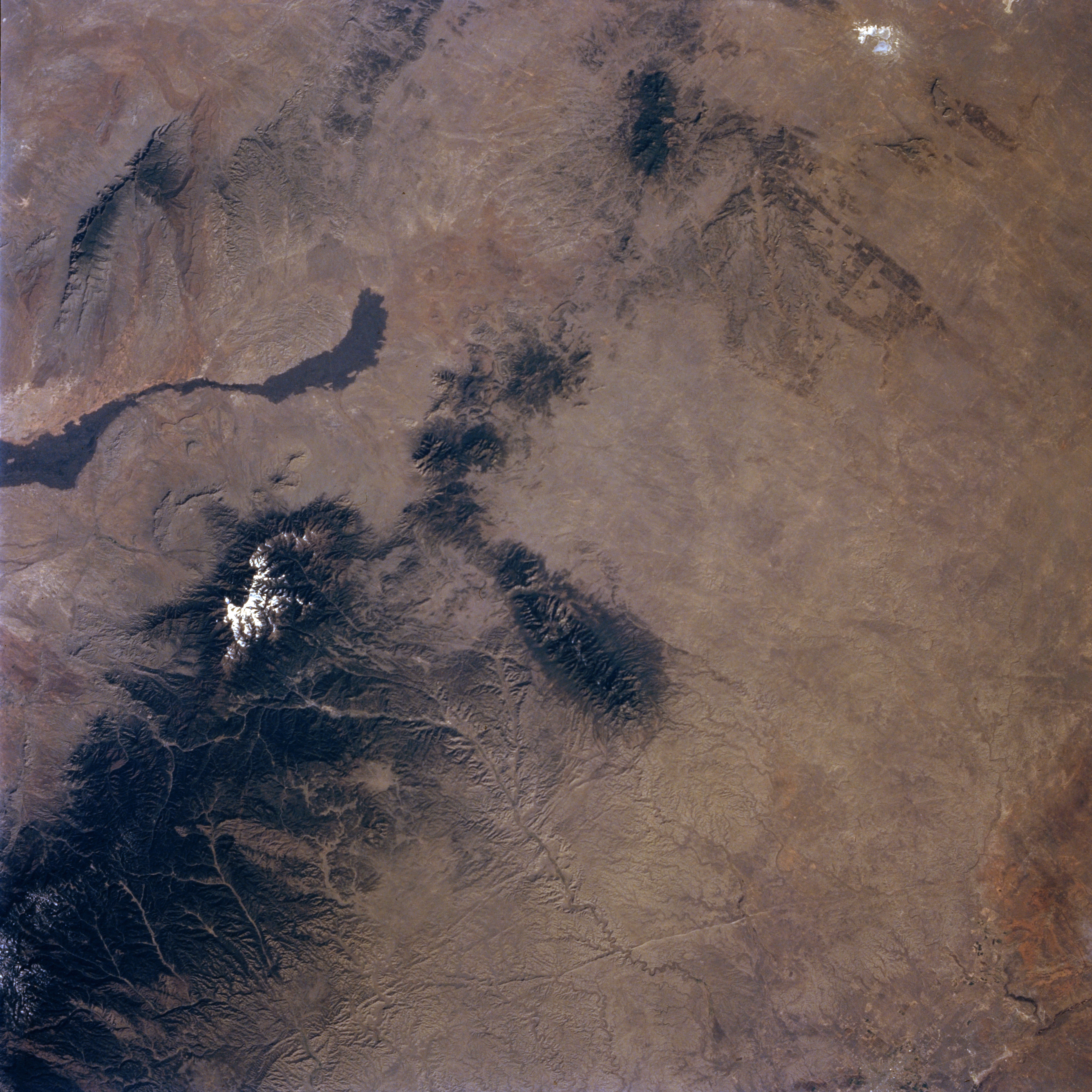
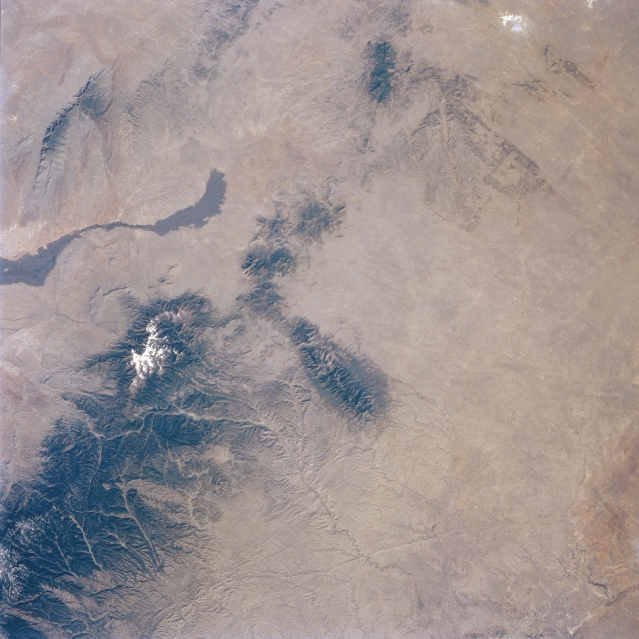
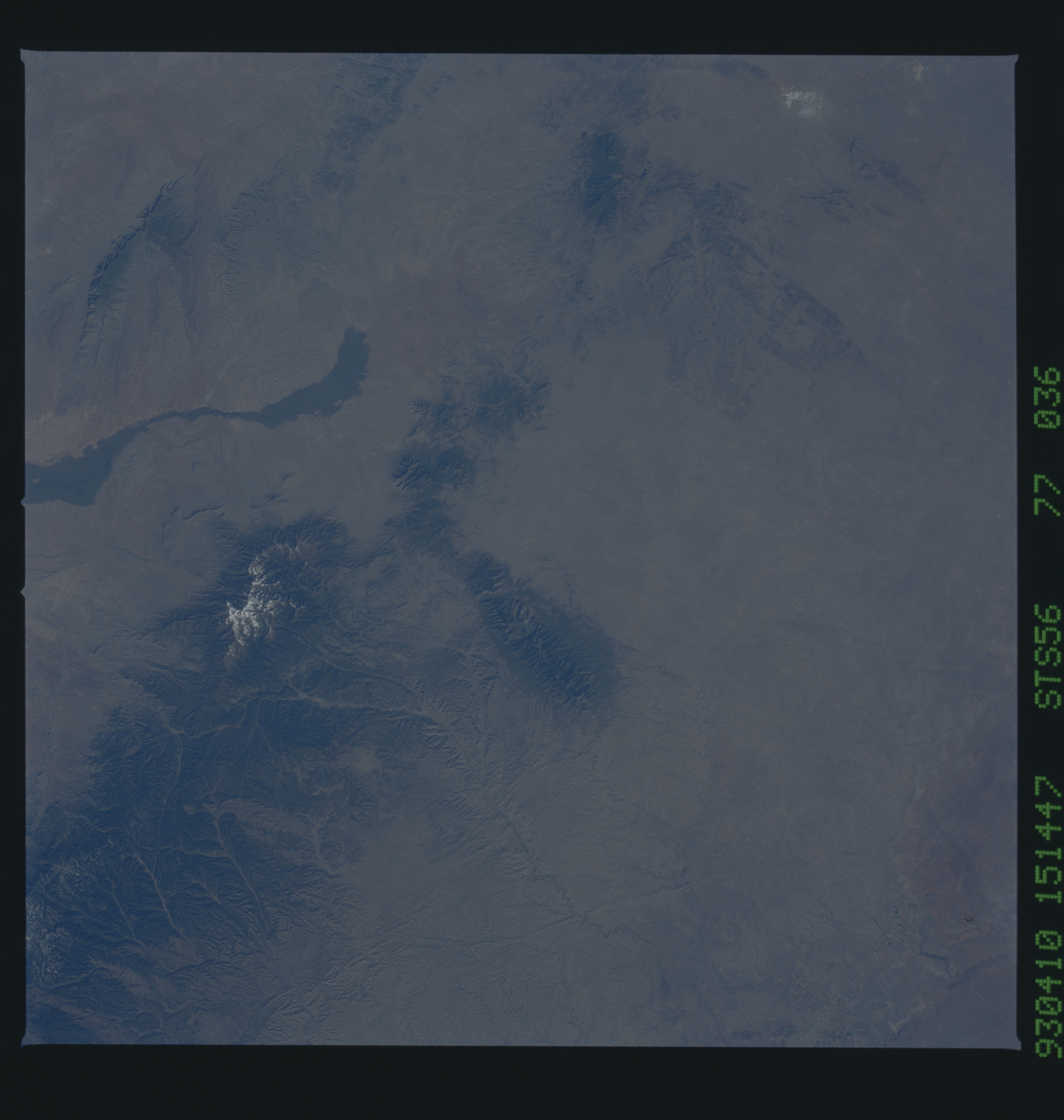
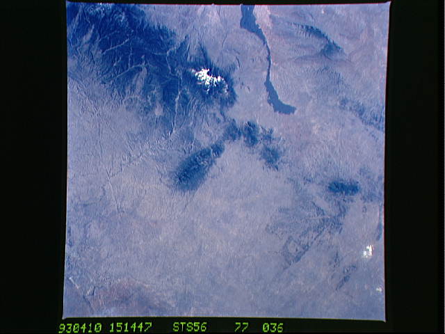
Image Caption: STS056-077-036 Sacramento Mountains, New Mexico, U.S.A. April 1993
The forested Sacramento and Sierra Blanca Mountains (lower left) of central New Mexico form the eastern edge of the Rio Grande Rift Valley, a rift zone that extends north-south through central New Mexico. Snowcapped Sierra Blanca Peak rises 12 003 feet (3659 meters). Fewer than 1000 years ago, lava erupted from Little Black Peak, a tiny volcanic center at the northern end of the dark, smooth, somewhat linear lava flow (left center). A partial view of the Hondo River drainage basin appears south of the east-west aligned Capitan Mountains (center of the photograph.
The forested Sacramento and Sierra Blanca Mountains (lower left) of central New Mexico form the eastern edge of the Rio Grande Rift Valley, a rift zone that extends north-south through central New Mexico. Snowcapped Sierra Blanca Peak rises 12 003 feet (3659 meters). Fewer than 1000 years ago, lava erupted from Little Black Peak, a tiny volcanic center at the northern end of the dark, smooth, somewhat linear lava flow (left center). A partial view of the Hondo River drainage basin appears south of the east-west aligned Capitan Mountains (center of the photograph.
