STS047-109-97
| NASA Photo ID | STS047-109-97 |
| Focal Length | 250mm |
| Date taken | 1992.09.15 |
| Time taken | 04:32:08 GMT |
Cloud masks available for this image:
Spacecraft nadir point: 55.1° N, 101.1° E
Photo center point: 54.0° N, 101.0° E
Photo center point by machine learning:
Photo center point: 54.0° N, 101.0° E
Photo center point by machine learning:
Nadir to Photo Center: South
Spacecraft Altitude: 171 nautical miles (317km)
Camera: | Hasselblad |
Focal Length: | 250mm |
Camera Tilt: | 21 degrees |
Format: | 2443: Kodak Aerochrome 2443, color IR, thin base, EA-5 process thru June 1999, E-6 process afterward |
Film Exposure: | Normal |
| Additional Information | |
| Width | Height | Annotated | Cropped | Purpose | Links |
|---|---|---|---|---|---|
| 5700 pixels | 6000 pixels | No | No | Download Image | |
| 500 pixels | 526 pixels | No | No | Download Image | |
| 640 pixels | 480 pixels | No | No | Download Image |
Download Packaged File
Download a Google Earth KML for this Image
View photo footprint information
Download a GeoTIFF for this photo
Image Caption:
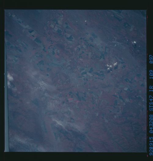
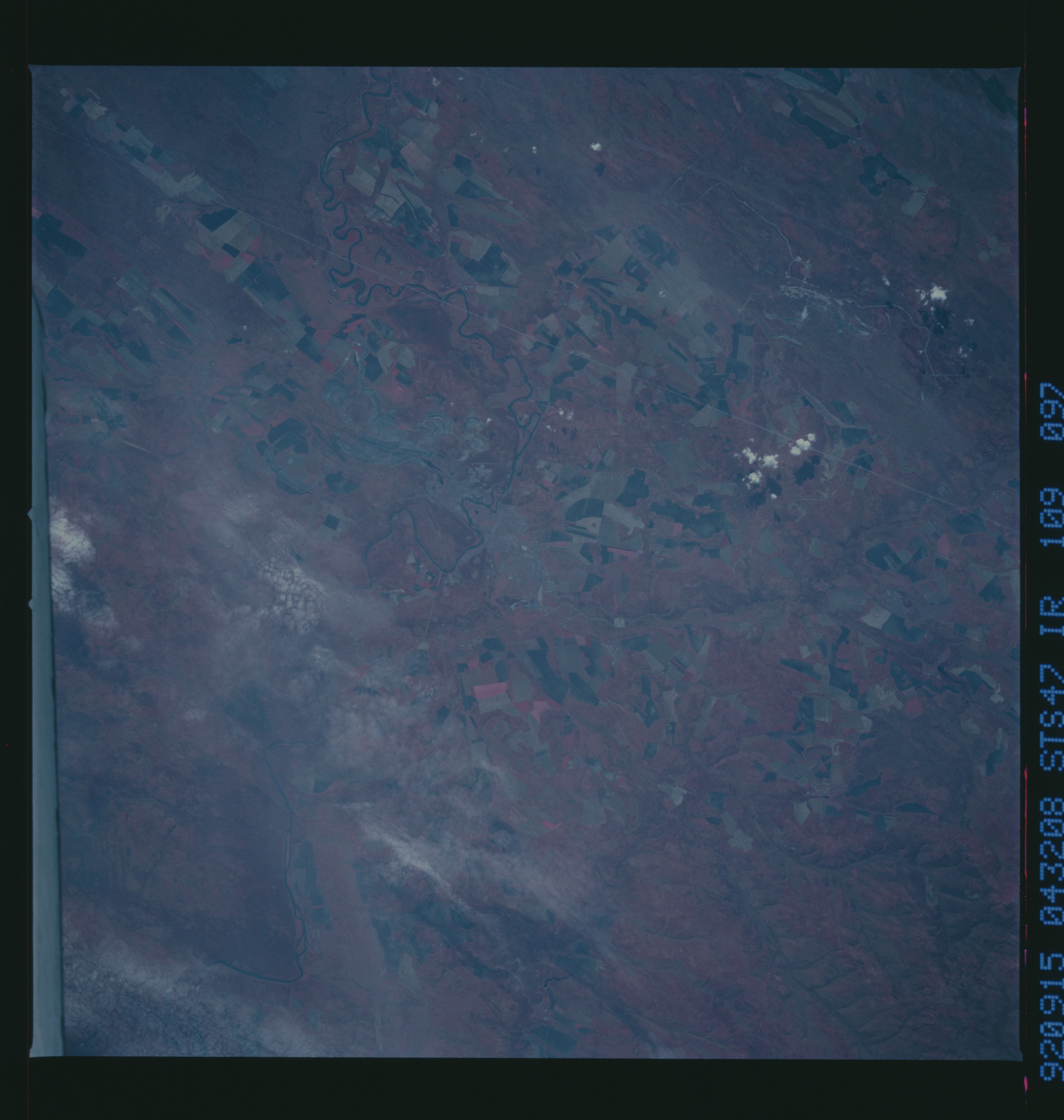
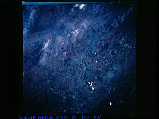
STS047-109-096 and 109-097 When first looking at these two scenes
there are similarities between this region (which happens to be
an area of some strip mining and some agriculture located just
south of Bratsk in the Irkutsk Basin area--just west of Lake Bay-
kal, Russia) and an area in north- central Alabama, near Birming-
ham.
