< STS61A-48-70 >

| NASA Photo ID | STS61A-48-70 |
| Focal Length | 250mm |
| Date taken | 1985.11.03 |
| Time taken | 16:40:10 GMT |
Resolutions offered for this image:
3904 x 3936 pixels 634 x 639 pixels 5700 x 5900 pixels 500 x 518 pixels 640 x 480 pixels
3904 x 3936 pixels 634 x 639 pixels 5700 x 5900 pixels 500 x 518 pixels 640 x 480 pixels
Cloud masks available for this image:
Spacecraft nadir point: 28.3° N, 96.6° W
Photo center point: 28.0° N, 97.0° W
Photo center point by machine learning:
Photo center point: 28.0° N, 97.0° W
Photo center point by machine learning:
Nadir to Photo Center: Southwest
Spacecraft Altitude: 177 nautical miles (328km)
Country or Geographic Name: | USA-TEXAS |
Features: | CORPUS CHRISTI |
| Features Found Using Machine Learning: | |
Cloud Cover Percentage: | 0 (no clouds present) |
Sun Elevation Angle: | 41° |
Sun Azimuth: | 150° |
Camera: | Hasselblad |
Focal Length: | 250mm |
Camera Tilt: | 10 degrees |
Format: | 5017: Kodak, natural color positive, Ektachrome, X Professional, ASA 64, standard base |
Film Exposure: | Normal |
| Additional Information | |
| Width | Height | Annotated | Cropped | Purpose | Links |
|---|---|---|---|---|---|
| 3904 pixels | 3936 pixels | No | No | Earth From Space collection | Download Image |
| 634 pixels | 639 pixels | No | No | Earth From Space collection | Download Image |
| 5700 pixels | 5900 pixels | No | No | Download Image | |
| 500 pixels | 518 pixels | No | No | Download Image | |
| 640 pixels | 480 pixels | No | No | Download Image |
Download Packaged File
Download a Google Earth KML for this Image
View photo footprint information
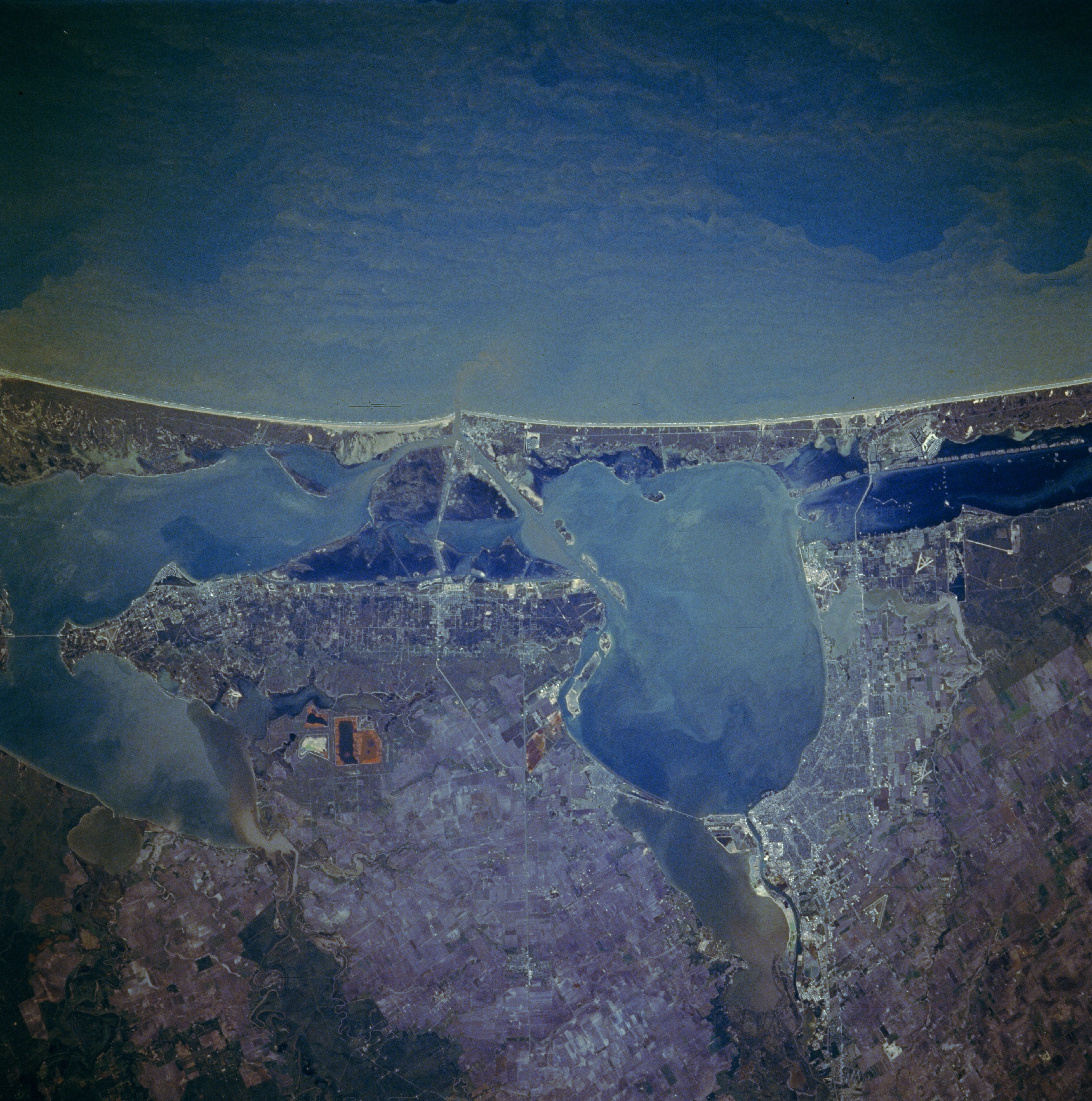
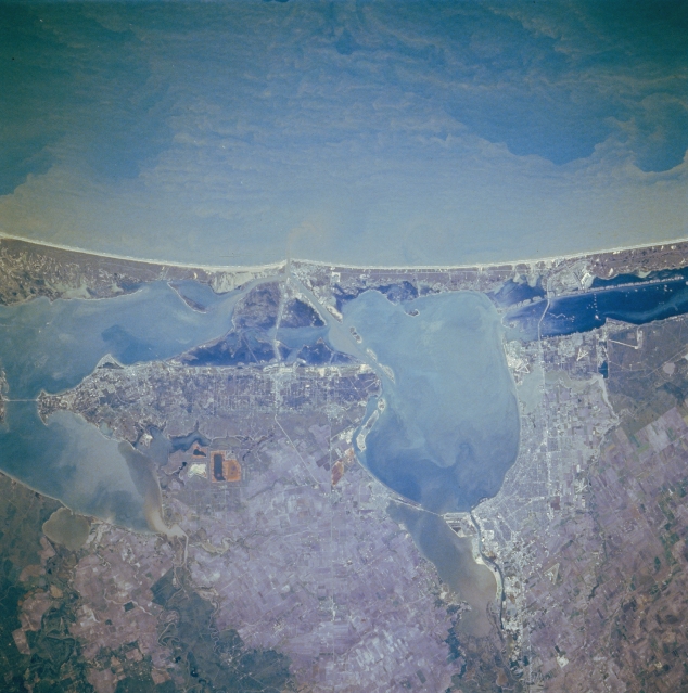
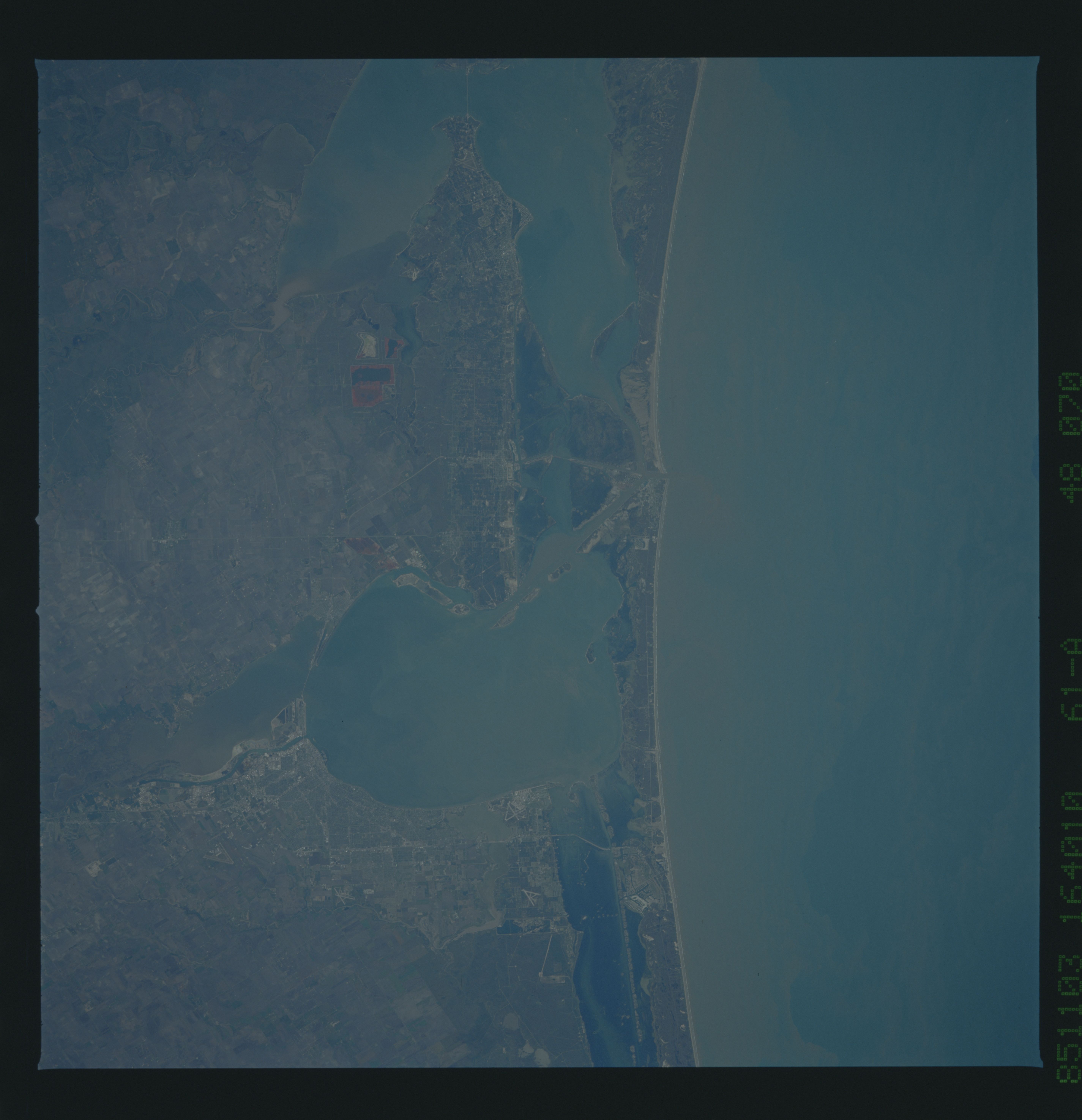
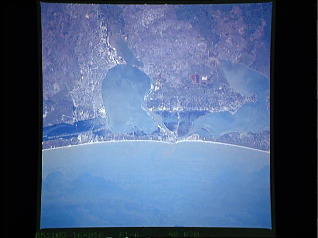
No GeoTIFF is available for this photo.Image Caption: STS61A-048-0070 Corpus Christi and Aransas Pass, Texas, U.S.A. November 1985
Corpus Christi and Aransas Pass are featured in this southeast-looking, low-oblique photograph. Corpus Christi, on the western shore of Corpus Christi Bay, is a petroleum and natural gas center with much heavy industry. Important to the city's economy are oil refineries, smelting plants, chemical works, fishing and shrimping, and tourism. The Corpus Christi Naval Air Station is east of the city near the Intracoastal Waterway and the causeway to Padre Island, a barrier island. Visible are sediment-laden Corpus Christi Bay, a shallow inlet of the Gulf of Mexico, and Nueces Bay, separated by a causeway to the west. Nueces Bay covers the former mouth of the Nueces River, which extended into Corpus Christi Bay when sea levels were lower during the last ice age. Following the northeast curve of the mainland above Corpus Christi Bay are Aransas Pass, a resort and fishing center for south Texas; Aransas Bay; and Copano Bay to its west.
Corpus Christi and Aransas Pass are featured in this southeast-looking, low-oblique photograph. Corpus Christi, on the western shore of Corpus Christi Bay, is a petroleum and natural gas center with much heavy industry. Important to the city's economy are oil refineries, smelting plants, chemical works, fishing and shrimping, and tourism. The Corpus Christi Naval Air Station is east of the city near the Intracoastal Waterway and the causeway to Padre Island, a barrier island. Visible are sediment-laden Corpus Christi Bay, a shallow inlet of the Gulf of Mexico, and Nueces Bay, separated by a causeway to the west. Nueces Bay covers the former mouth of the Nueces River, which extended into Corpus Christi Bay when sea levels were lower during the last ice age. Following the northeast curve of the mainland above Corpus Christi Bay are Aransas Pass, a resort and fishing center for south Texas; Aransas Bay; and Copano Bay to its west.
