< NM23-758-649 >

| NASA Photo ID | NM23-758-649 |
| Focal Length | 100mm |
| Date taken | 1997.05.03 |
| Time taken | GMT |
Resolutions offered for this image:
4096 x 4064 pixels 640 x 635 pixels 5700 x 6000 pixels 500 x 526 pixels
4096 x 4064 pixels 640 x 635 pixels 5700 x 6000 pixels 500 x 526 pixels

Cloud masks available for this image:
Spacecraft nadir point:
Photo center point: 52.0° N, 3.5° W
Photo center point by machine learning:
Photo center point: 52.0° N, 3.5° W
Photo center point by machine learning:
Nadir to Photo Center:
Spacecraft Altitude: nautical miles (0km)
Country or Geographic Name: | UK-WALES |
Features: | BRISTOL CHANNEL, CARDIGAN BAY |
| Features Found Using Machine Learning: | |
Cloud Cover Percentage: | 0 (no clouds present) |
Sun Elevation Angle: | ° |
Sun Azimuth: | ° |
Camera: | Hasselblad |
Focal Length: | 100mm |
Camera Tilt: | Low Oblique |
Format: | 5046: Kodak, natural color positive, Lumiere 100/5046, ASA 100, standard base |
Film Exposure: | Normal |
| Additional Information | |
| Width | Height | Annotated | Cropped | Purpose | Links |
|---|---|---|---|---|---|
| 4096 pixels | 4064 pixels | No | No | Earth From Space collection | Download Image |
| 640 pixels | 635 pixels | No | No | Earth From Space collection | Download Image |
| 5700 pixels | 6000 pixels | No | No | Download Image | |
| 500 pixels | 526 pixels | No | No | Download Image |
Download Packaged File
Download a Google Earth KML for this Image
View photo footprint information
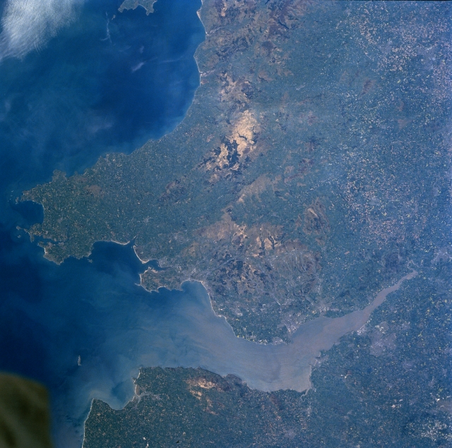
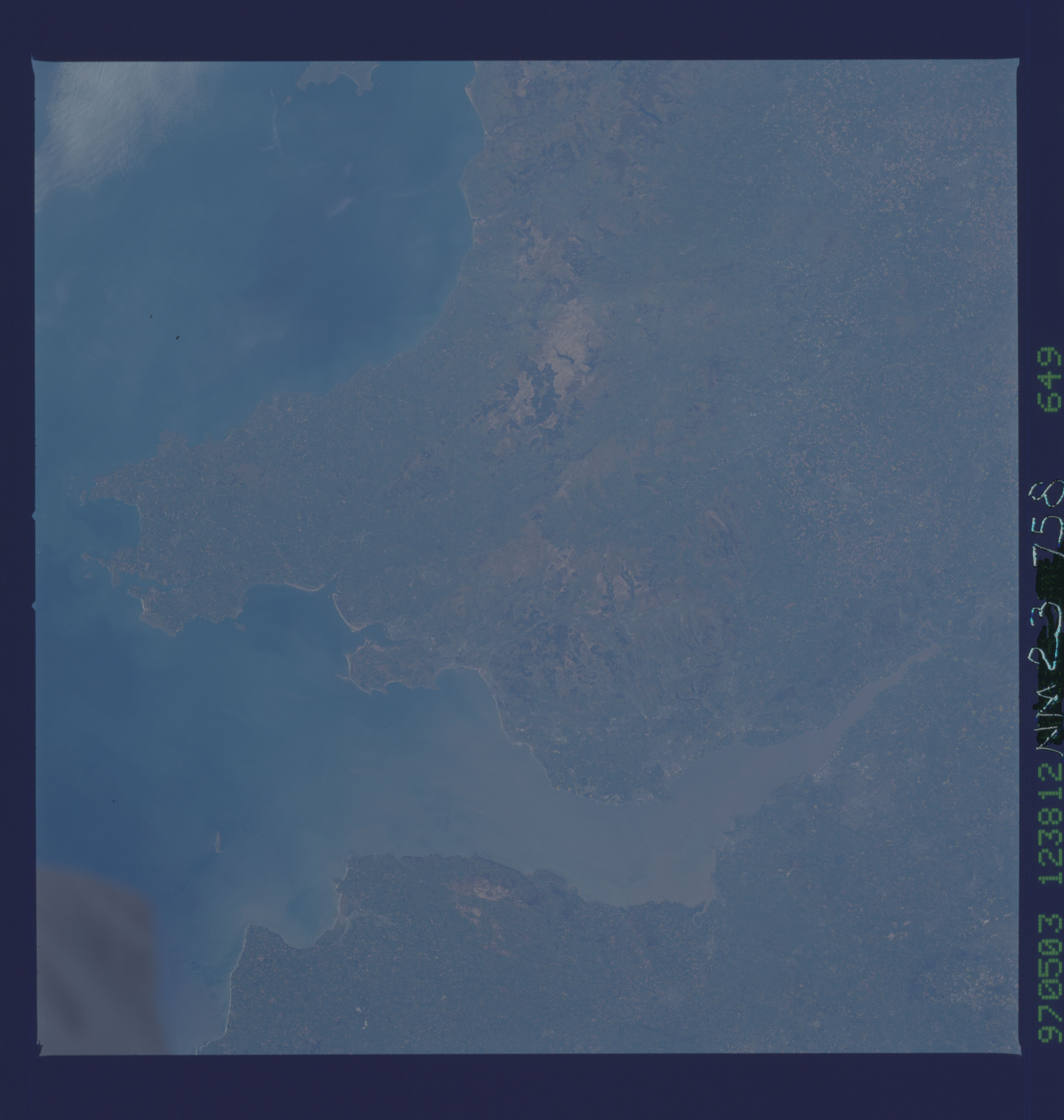
No GeoTIFF is available for this photo.Image Caption: NM23-758-649 Cambrian Mountains, Bristol Channel, Great Britain Winter/Spring 1997
The Cambrian Mountains can be seen extending from the north (top center of the image) southward to the Bristol Channel in this north-looking view. A rugged upland plateau, the Cambrian Mountains cover most of central Wales. The region has deep small lakes and is cut by numerous river valleys. Slightly below the center of the image, a section of the southern Cambrian Mountains known as the Brecon Beacons are visible. The Brecon Beacons are two sandstone peaks that reach an altitude in excess of 2900 feet (885 meters). The Bristol Channel, an arm of the Atlantic Ocean, can be seen extending from near the right edge of the image (east) to the lower left portion of the image (west). The channel is 85 miles (135 km) long and from 5 to 50 miles (8 to 81 km) wide and separates Wales (north) from southwest England (south or bottom portion of the image). The Bristol Channel serves as a major shipping corridor for southwest Great Britain. A portion of Cardigan Bay is visible in the upper left portion of the image.
The Cambrian Mountains can be seen extending from the north (top center of the image) southward to the Bristol Channel in this north-looking view. A rugged upland plateau, the Cambrian Mountains cover most of central Wales. The region has deep small lakes and is cut by numerous river valleys. Slightly below the center of the image, a section of the southern Cambrian Mountains known as the Brecon Beacons are visible. The Brecon Beacons are two sandstone peaks that reach an altitude in excess of 2900 feet (885 meters). The Bristol Channel, an arm of the Atlantic Ocean, can be seen extending from near the right edge of the image (east) to the lower left portion of the image (west). The channel is 85 miles (135 km) long and from 5 to 50 miles (8 to 81 km) wide and separates Wales (north) from southwest England (south or bottom portion of the image). The Bristol Channel serves as a major shipping corridor for southwest Great Britain. A portion of Cardigan Bay is visible in the upper left portion of the image.
