< STS095-708-64 >

| NASA Photo ID | STS095-708-64 |
| Focal Length | 250mm |
| Date taken | 1998.11.01 |
| Time taken | 01:52:44 GMT |
Cloud masks available for this image:
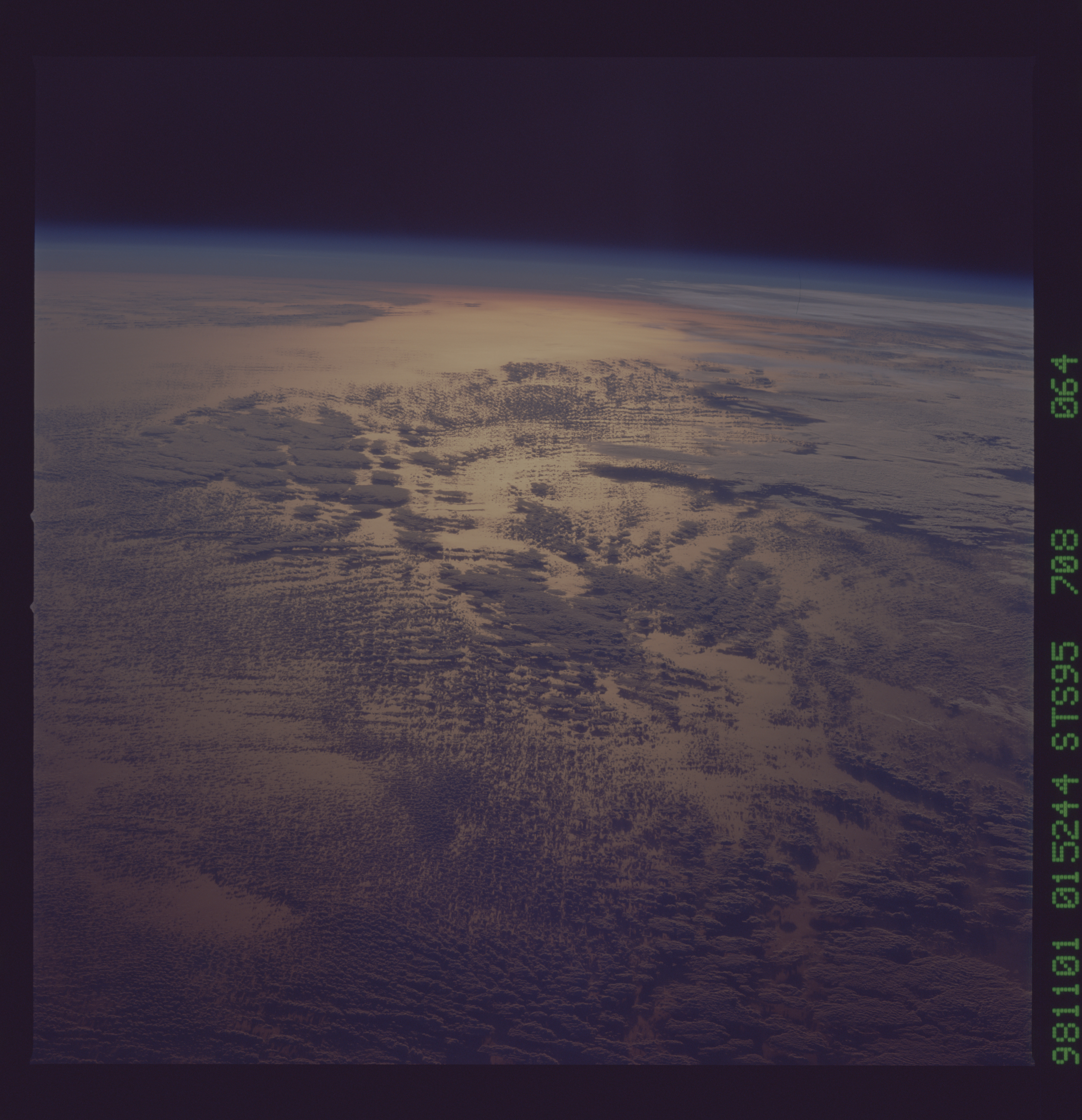
Spacecraft nadir point: 7.3° N, 118.5° W
Photo center point:
Photo center point by machine learning:
Photo center point:
Photo center point by machine learning:
Nadir to Photo Center:
Spacecraft Altitude: 299 nautical miles (554km)
Country or Geographic Name: | PACIFIC OCEAN |
Features: | PAN-GOLDEN SUNGLINT, CL. |
| Features Found Using Machine Learning: | |
Cloud Cover Percentage: | 70 (51-75)% |
Sun Elevation Angle: | -5° |
Sun Azimuth: | 256° |
Camera: | Hasselblad |
Focal Length: | 250mm |
Camera Tilt: | High Oblique |
Format: | 5069: Kodak Elite 100S, E6 Reversal, Replaces Lumiere, Warmer in tone vs. Lumiere |
Film Exposure: | Under Exposed |
| Additional Information | |
| Width | Height | Annotated | Cropped | Purpose | Links |
|---|---|---|---|---|---|
| 5700 pixels | 5900 pixels | No | No | Download Image Download Color Calibration Image for this Image |
|
| 483 pixels | 500 pixels | No | No | Download Image Download Color Calibration Image for this Image |
Download Packaged File
Download a Google Earth KML for this Image
View photo footprint information
No GeoTIFF is available for this photo.Image Caption: Golden sunglint. The nadir was 7.3N 118.5W. It places this beautiful view west of Clipperton Is., west of Central America in the Tropical Pacific. The sun elevation at the time this image was -5 degrees. This means the sun was just below the horizon and its light was being filtered by the atmosphere making it appear golden.
