< NM23-721-515 >
| NASA Photo ID | NM23-721-515 |
| Focal Length | 100mm |
| Date taken | 1997.04.03 |
| Time taken | GMT |
Resolutions offered for this image:
4096 x 4080 pixels 640 x 637 pixels 5700 x 6000 pixels 500 x 526 pixels
4096 x 4080 pixels 640 x 637 pixels 5700 x 6000 pixels 500 x 526 pixels
Cloud masks available for this image:
Spacecraft nadir point:
Photo center point: 39.5° S, 66.0° W
Photo center point by machine learning:
Photo center point: 39.5° S, 66.0° W
Photo center point by machine learning:
Nadir to Photo Center: Southwest
Spacecraft Altitude: nautical miles (0km)Body: Earth
Country or Geographic Name: | ARGENTINA |
Features: | RIO NEGRO, AGRICULTURE |
| Features Found Using Machine Learning: | |
Cloud Cover Percentage: | 0 (no clouds present) |
Sun Elevation Angle: | ° |
Sun Azimuth: | ° |
Camera: | Hasselblad |
Focal Length: | 100mm |
Camera Tilt: | Low Oblique |
Format: | 5046: Kodak, natural color positive, Lumiere 100/5046, ASA 100, standard base |
Film Exposure: | Normal |
| Additional Information | |
| Width | Height | Annotated | Cropped | Purpose | Links |
|---|---|---|---|---|---|
| 4096 pixels | 4080 pixels | No | No | Earth From Space collection | Download Image |
| 640 pixels | 637 pixels | No | No | Earth From Space collection | Download Image |
| 5700 pixels | 6000 pixels | No | No | Download Image | |
| 500 pixels | 526 pixels | No | No | Download Image |
Download Packaged File
Download a Google Earth KML for this Image
View photo footprint information
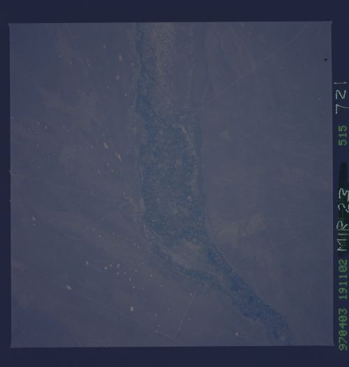
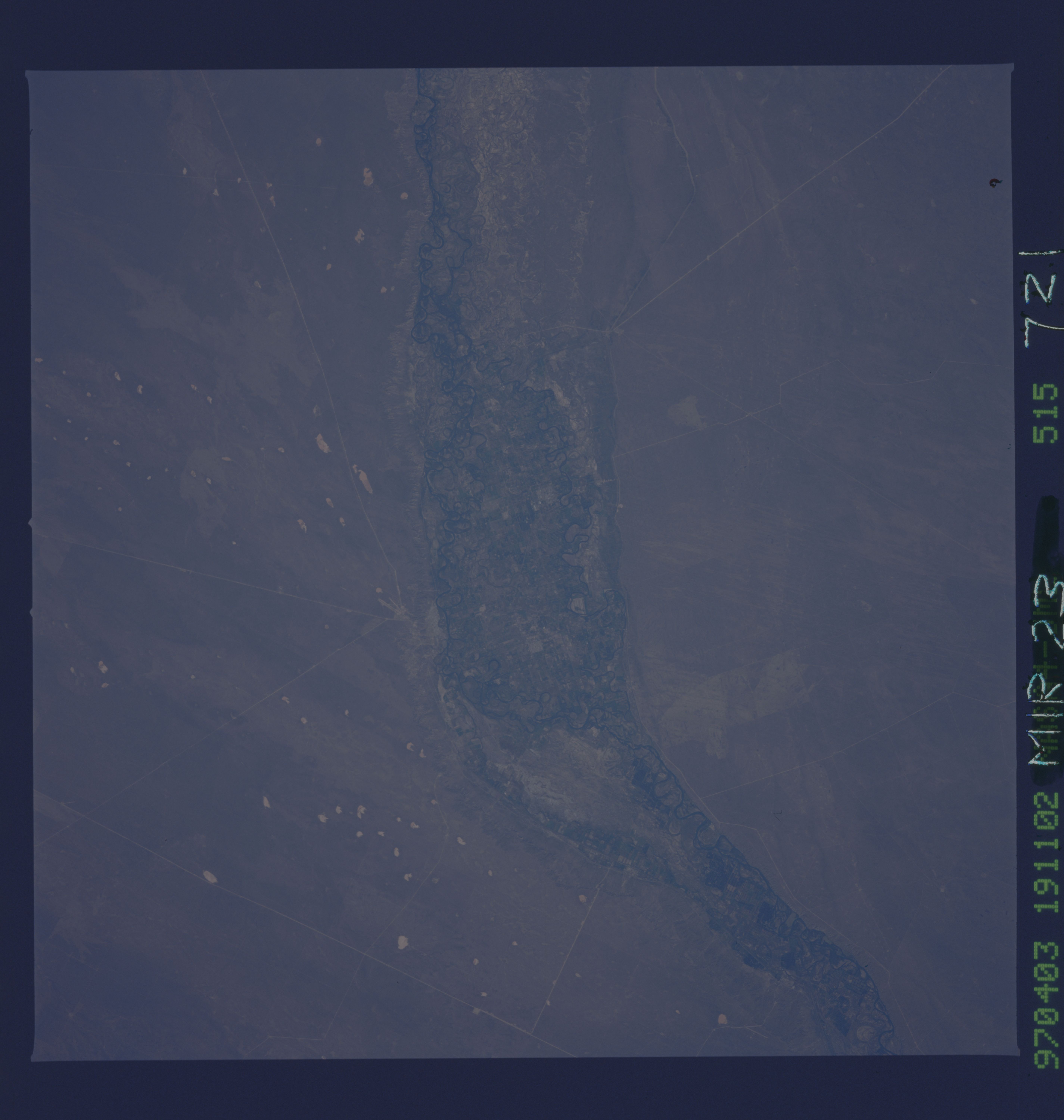
No GeoTIFF is available for this photo.Image Caption: NM23-721-515 Rio Negro, Argentina Winter/Spring 1997
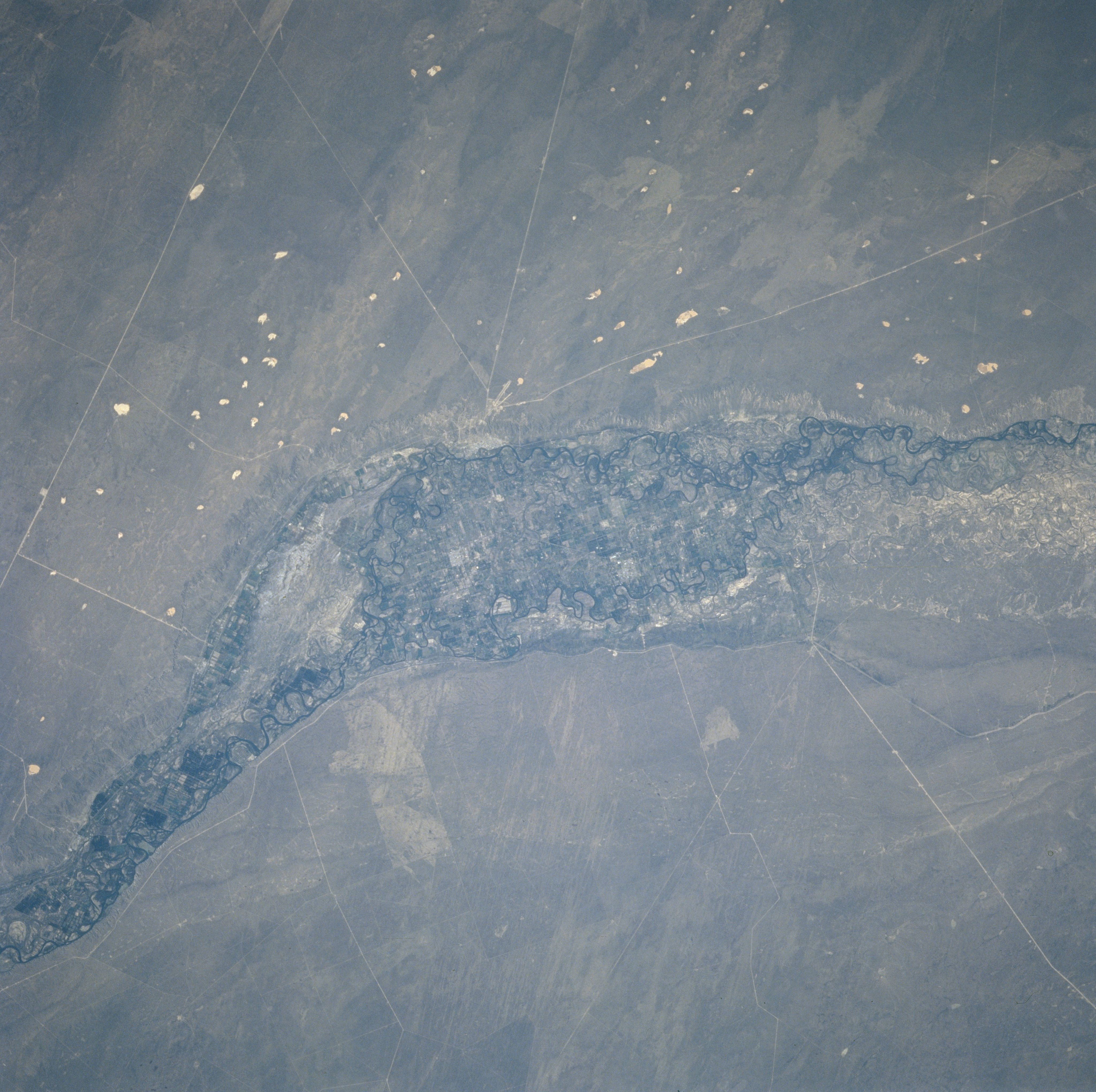
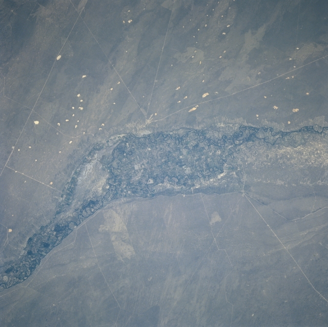
The valley of the Rio Negro near the small agricultural city of Choele Choel, is at the apex of the three white lines. Other roads, railroads, and pipelines can be seen traversing the image. The valley sets nearly 350 feet (107 meters) lower than the surrounding plateau. The Rio Negro flows generally eastward across the plateau and empties into the Atlantic Ocean. Fed by glaciers and snowmelt from the Andes Mountains to the west, the Rio Negro provides irrigation water for the agricultural fields within the valley.
The valley of the Rio Negro near the small agricultural city of Choele Choel, is at the apex of the three white lines. Other roads, railroads, and pipelines can be seen traversing the image. The valley sets nearly 350 feet (107 meters) lower than the surrounding plateau. The Rio Negro flows generally eastward across the plateau and empties into the Atlantic Ocean. Fed by glaciers and snowmelt from the Andes Mountains to the west, the Rio Negro provides irrigation water for the agricultural fields within the valley.

