< STS41G-40-50 >
| NASA Photo ID | STS41G-40-50 |
| Focal Length | 100mm |
| Date taken | 1984.10.12 |
| Time taken | 12:04:04 GMT |
Cloud masks available for this image:
Spacecraft nadir point: 37.1° N, 4.7° W
Photo center point: 36.0° N, 5.5° W
Photo center point by machine learning:
Photo center point: 36.0° N, 5.5° W
Photo center point by machine learning:
Nadir to Photo Center: Southwest
Spacecraft Altitude: 122 nautical miles (226km)
Country or Geographic Name: | MOROCCO |
Features: | MEDITERRANEAN SEA STRUCT |
| Features Found Using Machine Learning: | |
Cloud Cover Percentage: | 10 (1-10)% |
Sun Elevation Angle: | 45° |
Sun Azimuth: | 137° |
Camera: | Hasselblad |
Focal Length: | 100mm |
Camera Tilt: | 34 degrees |
Format: | 6017: Kodak Ektachrome 64, 220 Roll Format |
Film Exposure: | Normal |
| Additional Information | |
| Width | Height | Annotated | Cropped | Purpose | Links |
|---|---|---|---|---|---|
| 5700 pixels | 5900 pixels | No | No | Download Image | |
| 500 pixels | 518 pixels | No | No | Download Image | |
| 640 pixels | 480 pixels | No | No | Download Image |
Download Packaged File
Download a Google Earth KML for this Image
View photo footprint information
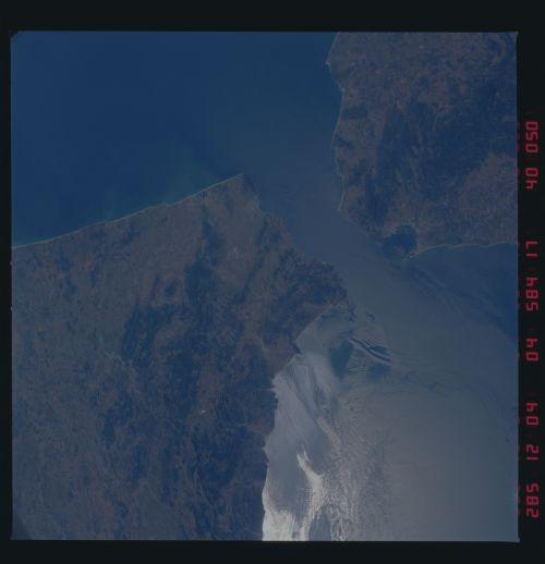
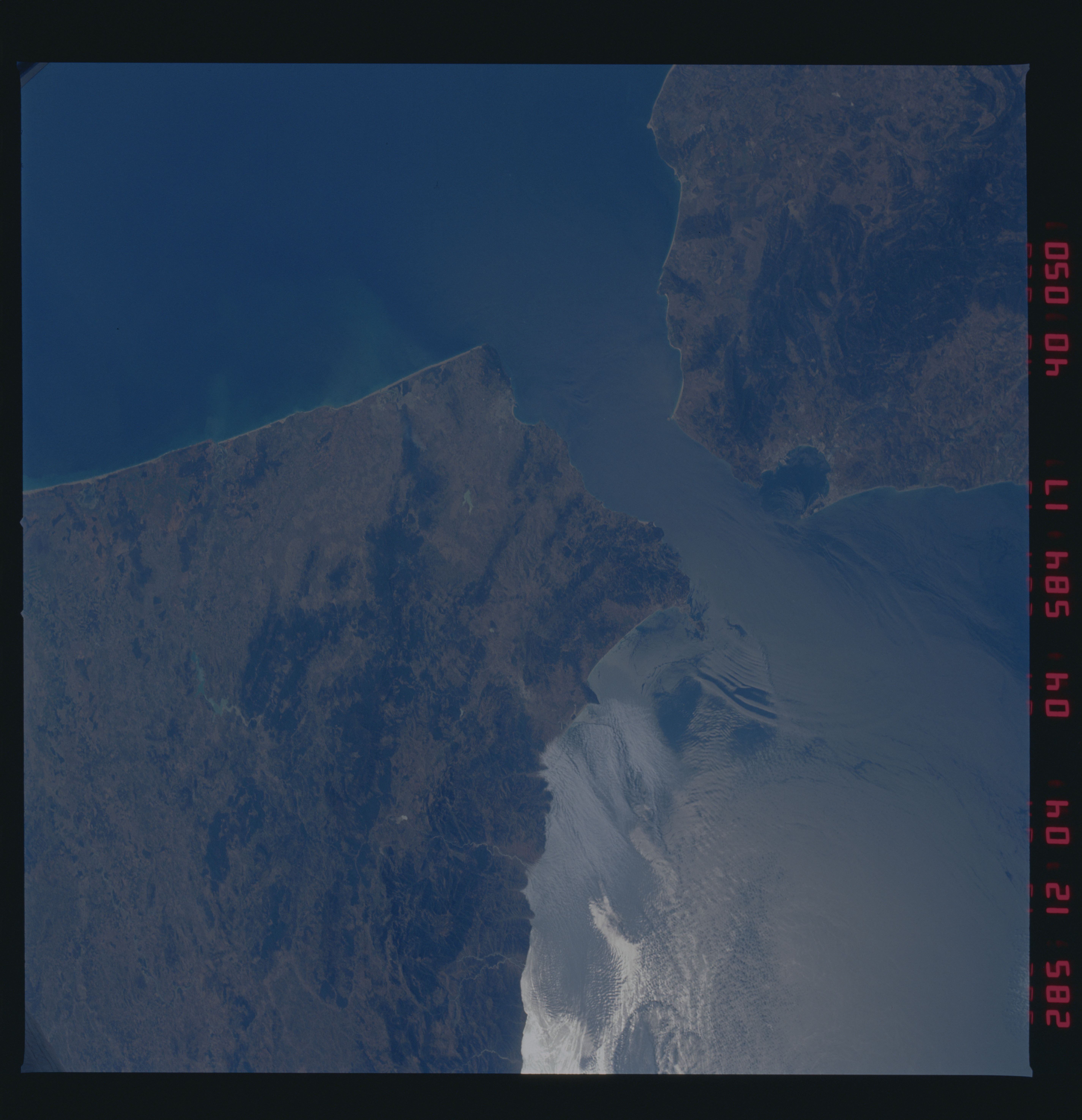
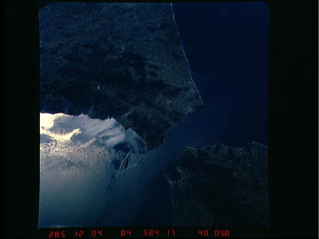
No GeoTIFF is available for this photo.Image Caption: Internal Waves in the Strait of Gibraltar.
The Atlantic waters flowing with the tide through the Strait
of Gibraltar into the Mediterranean generates internal waves
as depicted in this photo. The incoming cool, less dense
Atlantic water flows over the warm, more saline
Mediterranean
water. As the tide moves into the Strait of Gibralter it
encounters the Camarinal Sill, which is like a cliff under
water, south of Camarinal Point, Spain. Internal waves are
generated at the Sill and travel along the density boundary
between the Atlantic water and the Mediterranean water.
There
is very little evidence of the internal waves at the
surface. During this mission in Oct 1984 there was a ship in
the Strait as this photo was taken. They measured the change
of the sea surface as only 3 cm as the internal waves
traveled underneath. The internal waves had amplitudes of 50
feet, approx 100 to 150 feet below the surface at the
density interface.
We can see them in the Space Shuttle photos because of
sunglint which reflects off the water. The internal waves
smooth out some of the capillary waves at the surface in
bands. The sun reflects more brightly from these smooth
areas showing us the pattern of the underwater waves.
The Bay of Cadiz on the Southwest coast of Spain, the Rock
of
Gibraltar, and the Moroccan coast are also beautifully
illustrated in this photo.
