< NM23-716-396 >
| NASA Photo ID | NM23-716-396 |
| Focal Length | 250mm |
| Date taken | 1997.03.21 |
| Time taken | GMT |
Resolutions offered for this image:
4056 x 4096 pixels 633 x 640 pixels 5700 x 6000 pixels 500 x 526 pixels
4056 x 4096 pixels 633 x 640 pixels 5700 x 6000 pixels 500 x 526 pixels
Cloud masks available for this image:
Spacecraft nadir point:
Photo center point: 30.0° S, 51.0° W
Photo center point by machine learning:
Photo center point: 30.0° S, 51.0° W
Photo center point by machine learning:
Nadir to Photo Center: East
Spacecraft Altitude: nautical miles (0km)
Country or Geographic Name: | BRAZIL |
Features: | PORTO ALEGRE |
| Features Found Using Machine Learning: | |
Cloud Cover Percentage: | 5 (1-10)% |
Sun Elevation Angle: | ° |
Sun Azimuth: | ° |
Camera: | Hasselblad |
Focal Length: | 250mm |
Camera Tilt: | Low Oblique |
Format: | 5046: Kodak, natural color positive, Lumiere 100/5046, ASA 100, standard base |
Film Exposure: | Normal |
| Additional Information | |
| Width | Height | Annotated | Cropped | Purpose | Links |
|---|---|---|---|---|---|
| 4056 pixels | 4096 pixels | No | No | Earth From Space collection | Download Image |
| 633 pixels | 640 pixels | No | No | Earth From Space collection | Download Image |
| 5700 pixels | 6000 pixels | No | No | Download Image | |
| 500 pixels | 526 pixels | No | No | Download Image |
Download Packaged File
Download a Google Earth KML for this Image
View photo footprint information
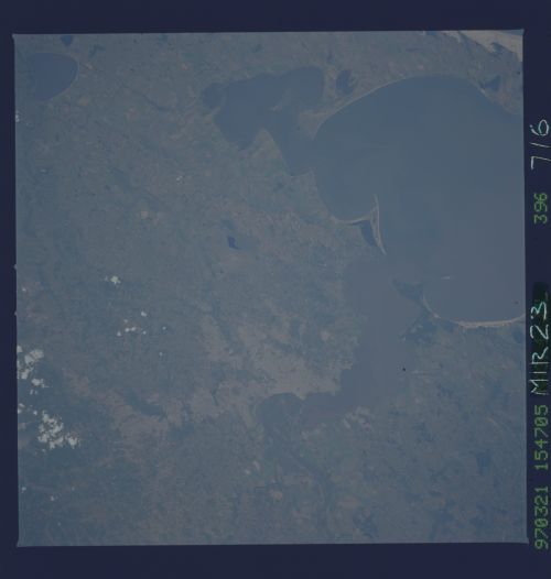
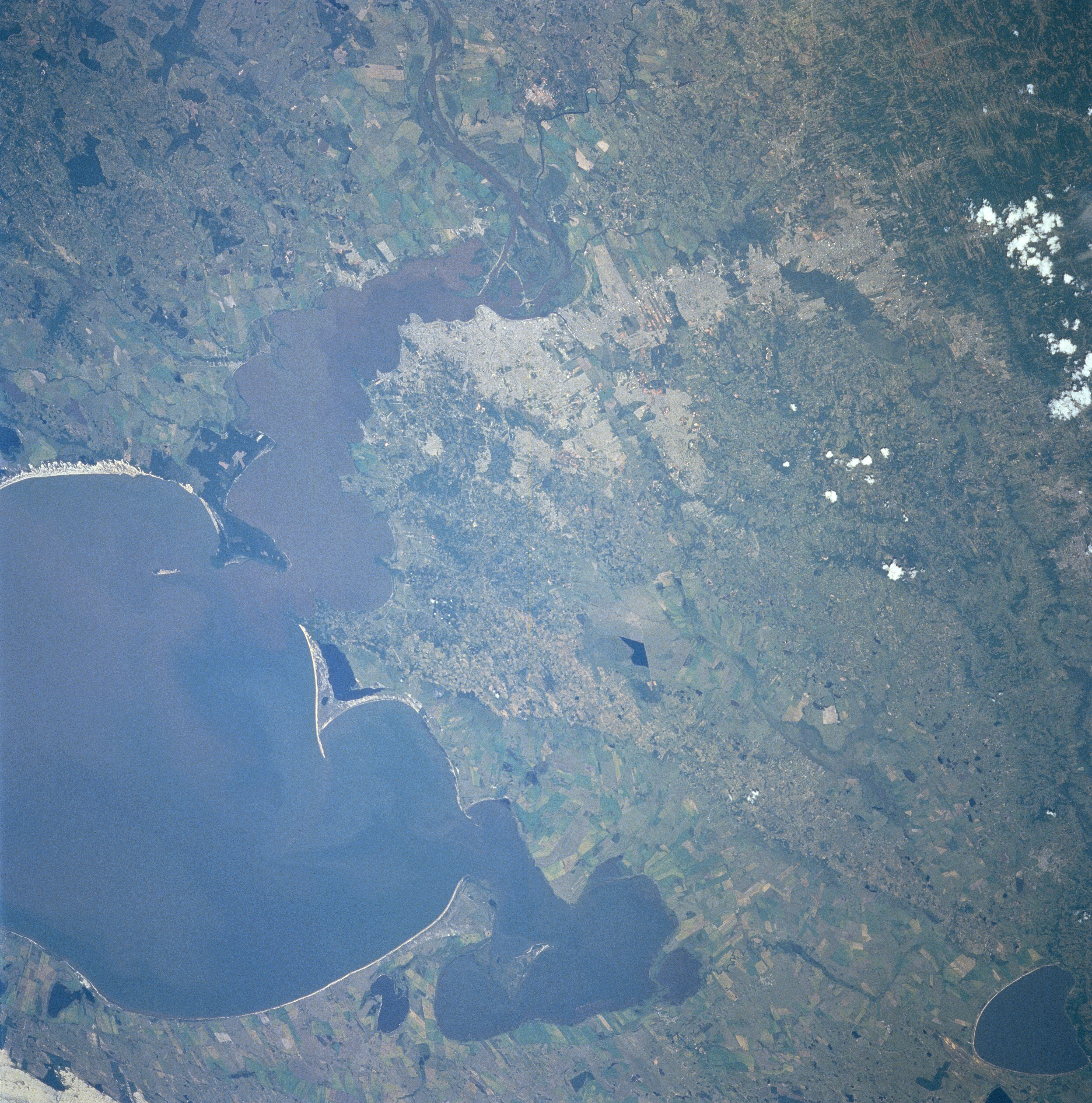
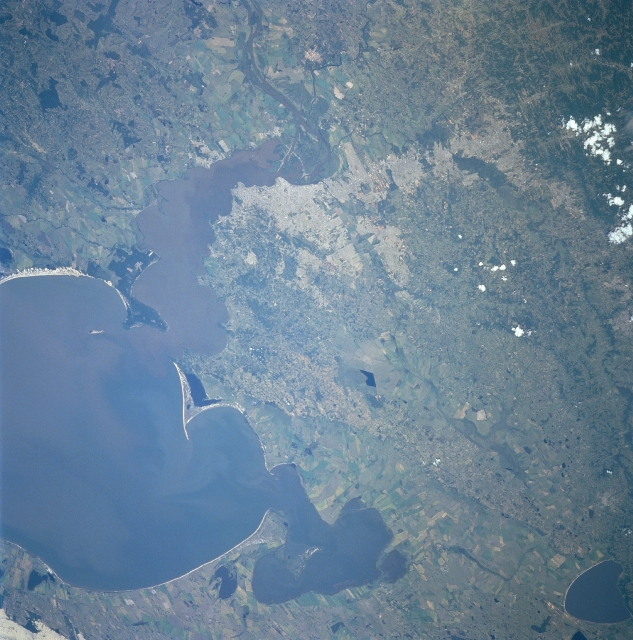
No GeoTIFF is available for this photo.Image Caption: NM23-716-396 Porto Alegre, Rio Grande Do Sul, Brazil Winter/Spring 1997
Porto Alegre (light gray area slightly west of center), the capital of the state of Rio Grande do Sul, is located along the east bank of the Rio Guaiba. Porto Alegre is one of several cities that are aligned in a north-south corridor of urban development in this region of southern Brazil. A substantial sediment plume from the Rio Guaiba is visible as it enters Lagoa dos Patos. The angular-looking field patterns around the periphery of Lago dos Patos shows an extensive concentration of agricultural activities, mainly rice fields. The dark blue-colored lake in the northeast corner of the picture is Lagoa dos Barros.
Porto Alegre (light gray area slightly west of center), the capital of the state of Rio Grande do Sul, is located along the east bank of the Rio Guaiba. Porto Alegre is one of several cities that are aligned in a north-south corridor of urban development in this region of southern Brazil. A substantial sediment plume from the Rio Guaiba is visible as it enters Lagoa dos Patos. The angular-looking field patterns around the periphery of Lago dos Patos shows an extensive concentration of agricultural activities, mainly rice fields. The dark blue-colored lake in the northeast corner of the picture is Lagoa dos Barros.
