STS51F-34-13
| NASA Photo ID | STS51F-34-13 |
| Focal Length | 250mm |
| Date taken | 1985.08.01 |
| Time taken | 03:11:37 GMT |
Resolutions offered for this image:
3872 x 3936 pixels 629 x 639 pixels 5700 x 5900 pixels 500 x 518 pixels 640 x 480 pixels
3872 x 3936 pixels 629 x 639 pixels 5700 x 5900 pixels 500 x 518 pixels 640 x 480 pixels

Cloud masks available for this image:
Spacecraft nadir point: 14.2° S, 133.1° E
Photo center point: 16.0° S, 129.0° E
Photo center point by machine learning:
Photo center point: 16.0° S, 129.0° E
Photo center point by machine learning:
Nadir to Photo Center: West
Spacecraft Altitude: 171 nautical miles (317km)
Country or Geographic Name: | AUSTRALIA-WA |
Features: | LAKE ARGYLE |
| Features Found Using Machine Learning: | |
Cloud Cover Percentage: | 0 (no clouds present) |
Sun Elevation Angle: | 57° |
Sun Azimuth: | 0° |
Camera: | Hasselblad |
Focal Length: | 250mm |
Camera Tilt: | Low Oblique |
Format: | 5017: Kodak, natural color positive, Ektachrome, X Professional, ASA 64, standard base |
Film Exposure: | Normal |
| Additional Information | |
| Width | Height | Annotated | Cropped | Purpose | Links |
|---|---|---|---|---|---|
| 3872 pixels | 3936 pixels | No | No | Earth From Space collection | Download Image |
| 629 pixels | 639 pixels | No | No | Earth From Space collection | Download Image |
| 5700 pixels | 5900 pixels | No | No | Download Image | |
| 500 pixels | 518 pixels | No | No | Download Image | |
| 640 pixels | 480 pixels | No | No | Download Image |
Download Packaged File
Download a Google Earth KML for this Image
View photo footprint information
Download a GeoTIFF for this photo
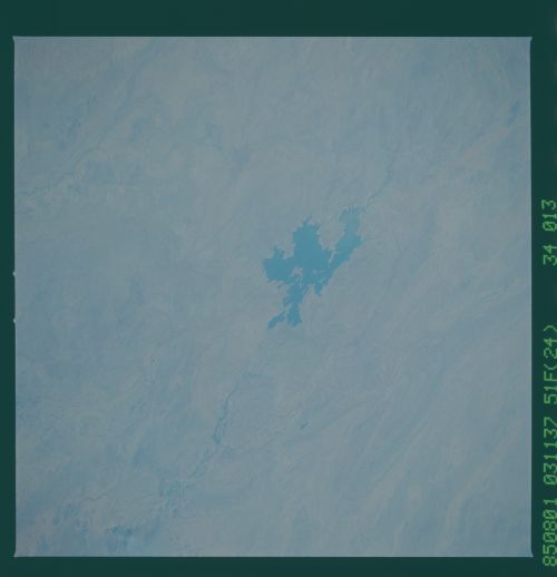
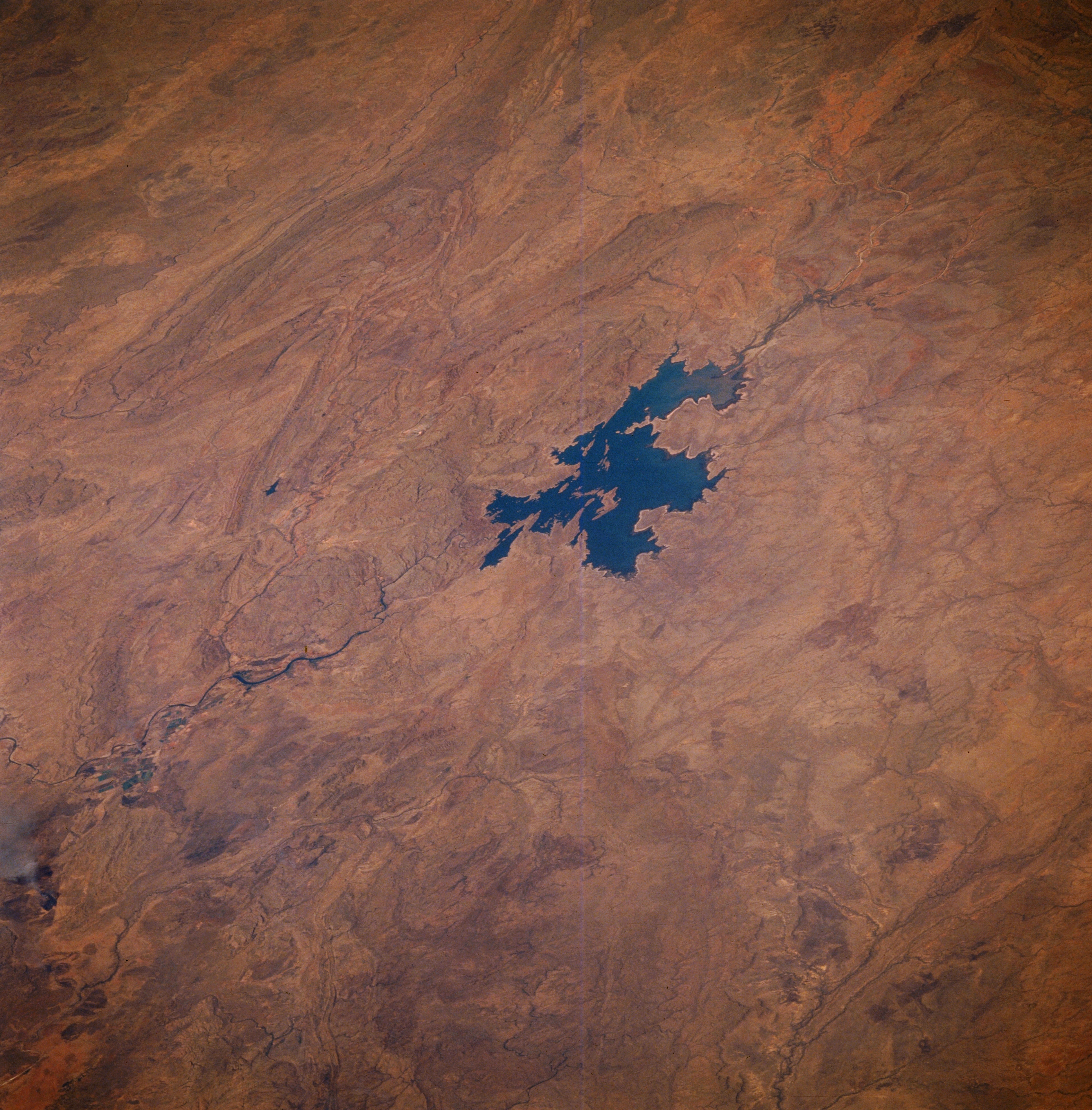
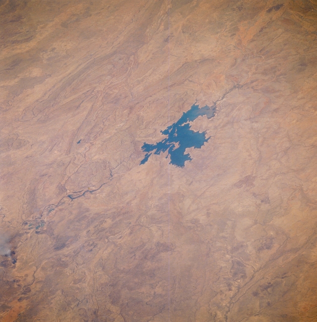
Image Caption: STS51F-34-0013 Lake Argyle, Western Australia, Australia August 1985
Located on the Kimberley Plateau near the Western Australia, Northern Territory boundary, Lake Argyle is the largest man made lake in Australia. The main channel of the Ord River (dark, meandering feature) north of the lake is visible as it drains northward, eventually emptying into the Joseph Bonaparte Gulf (not in this image ). The Ord and Bow Rivers that flow into the southern end of the lake are difficult to discern. Low, folded mountains can be identified east and west of this river valley.
Located on the Kimberley Plateau near the Western Australia, Northern Territory boundary, Lake Argyle is the largest man made lake in Australia. The main channel of the Ord River (dark, meandering feature) north of the lake is visible as it drains northward, eventually emptying into the Joseph Bonaparte Gulf (not in this image ). The Ord and Bow Rivers that flow into the southern end of the lake are difficult to discern. Low, folded mountains can be identified east and west of this river valley.
