ISS030-E-177670

| NASA Photo ID | ISS030-E-177670 |
| Focal Length | 28mm |
| Date taken | 2012.03.28 |
| Time taken | 03:33:51 GMT |

Cloud masks available for this image:
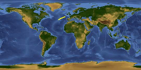
Spacecraft nadir point: 46.8° N, 14.3° W
Photo center point:
Photo center point by machine learning:
Photo center point:
Photo center point by machine learning:
Nadir to Photo Center:
Spacecraft Altitude: 211 nautical miles (391km)
Country or Geographic Name: | |
Features: | |
| Features Found Using Machine Learning: | AURORA, PAN- |
Cloud Cover Percentage: | 0 (no clouds present) |
Sun Elevation Angle: | -30° |
Sun Azimuth: | 45° |
Camera: | NIKON D3S S/N: 2008336 |
Focal Length: | 28mm |
Camera Tilt: | |
Format: | |
Film Exposure: | |
| Additional Information | |
This photo is one of the photos used to create this time-lapse video:
| Width | Height | Annotated | Cropped | Purpose | Links |
|---|---|---|---|---|---|
| 4256 pixels | 2832 pixels | No | No | Download Image | |
| 640 pixels | 426 pixels | No | No | Download Image |
Download Packaged File
Download a Google Earth KML for this Image
View photo footprint information
Download a GeoTIFF for this photo
Image Caption: ISS030-E-177670 (28 March 2012) --- One of the Expedition 30 crew members photographed this nighttime scene while the International Space Station was flying at an altitude approximately 240 miles over the eastern North Atlantic. The view looks northeastward. Center point coordinates are 46.8 degrees north latitude and 14.3 degrees west longitude. The night lights of the cities of Ireland, in the foreground, and the United Kingdom, in the back and to the right, are contrasted by the bright sunrise in the background. The greens and purples of the Aurora Borealis are seen along the rest of the horizon.
