ISS012-E-18774

| NASA Photo ID | ISS012-E-18774 |
| Focal Length | 180mm |
| Date taken | 2006.02.28 |
| Time taken | 13:20:53 GMT |
1000 x 673 pixels 540 x 363 pixels 540 x 405 pixels 1520 x 1008 pixels 639 x 435 pixels
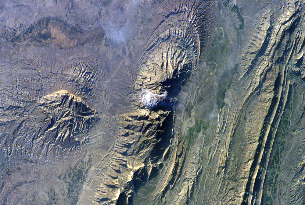


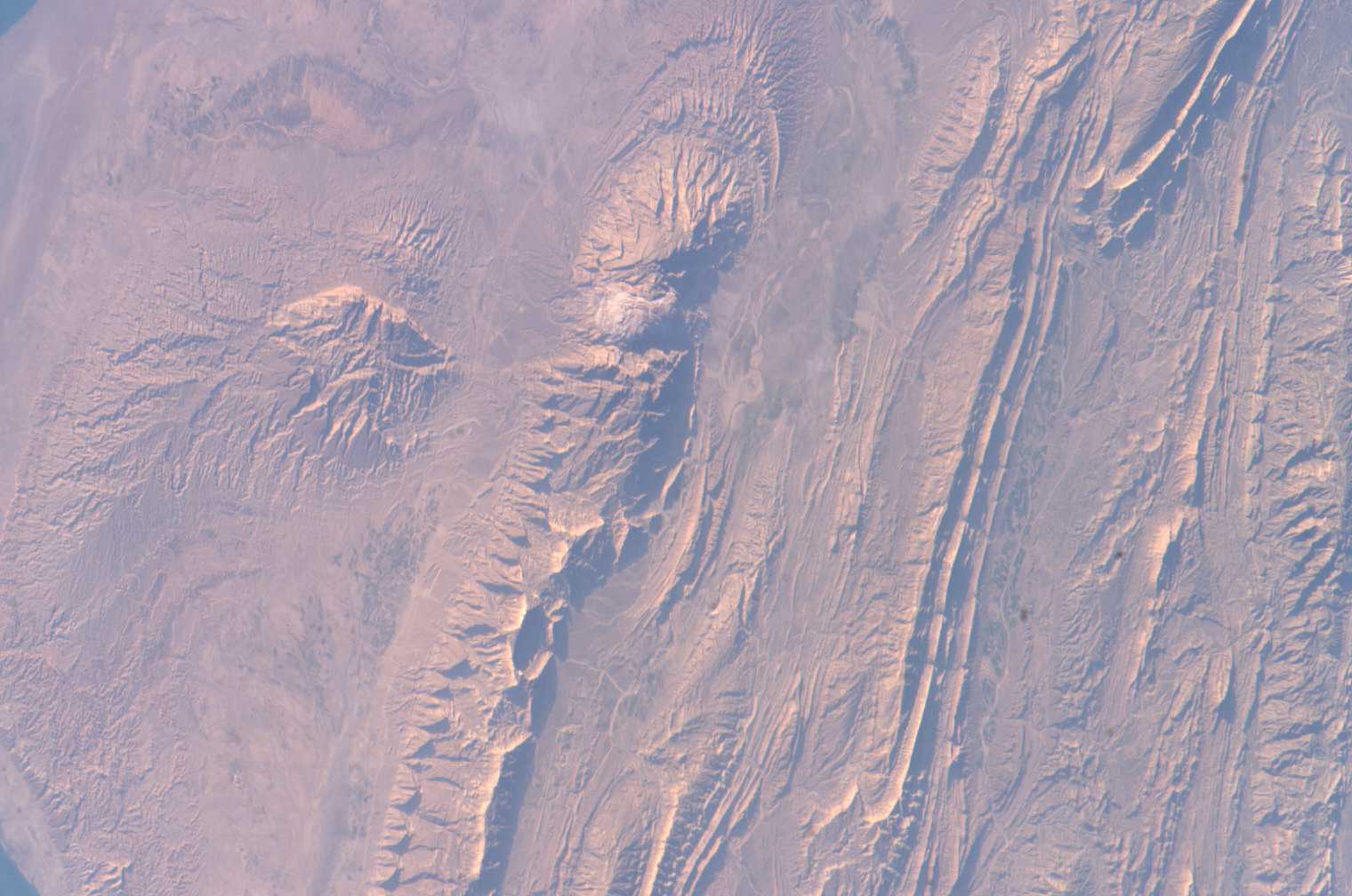
Photo center point: 28.0° N, 51.5° E
Photo center point by machine learning:
Country or Geographic Name: | IRAN |
Features: | ZAGROS MTS., SALT DOME |
| Features Found Using Machine Learning: | |
Cloud Cover Percentage: | 10 (1-10)% |
Sun Elevation Angle: | 18° |
Sun Azimuth: | 252° |
Camera: | Kodak DCS760c Electronic Still Camera |
Focal Length: | 180mm |
Camera Tilt: | 52 degrees |
Format: | 3060E: 3060 x 2036 pixel CCD, RGBG array |
Film Exposure: | |
| Additional Information | |
| Width | Height | Annotated | Cropped | Purpose | Links |
|---|---|---|---|---|---|
| 1000 pixels | 673 pixels | No | Yes | Earth From Space collection | Download Image |
| 540 pixels | 363 pixels | Yes | Yes | Earth From Space collection | Download Image |
| 540 pixels | 405 pixels | Yes | Yes | NASA's Earth Observatory web site | Download Image |
| 1520 pixels | 1008 pixels | No | No | Not enhanced | Download Image |
| 639 pixels | 435 pixels | No | No | Download Image |
The Zagros Mountains in southwestern Iran present an impressive landscape of long linear ridges and valleys. Formed by collision of the Eurasian and Arabian tectonic plates, the ridges and valleys extend hundreds of kilometers. Stresses induced in the Earth's crust by the collision caused extensive folding of the preexisting layered sedimentary rocks. Subsequent erosion removed softer rocks, such as mudstone (rock formed by consolidated mud) and siltstone (a slightly coarser-grained mudstone) while leaving harder rocks, such as limestone (calcium-rich rock consisting of the remains of marine organisms) and dolomite (rocks similar to limestone containing calcium and magnesium). This differential erosion formed the linear ridges of the Zagros Mountains. The depositional environment and tectonic history of the rocks were conducive to the formation and trapping of petroleum, and the Zagros region is an important part of Persian Gulf production.
This astronaut photograph of the southwestern edge of the Zagros mountain belt includes another common feature of the region--a salt dome (Kuh-e-Namak or "mountain of salt" in Farsi). Thick layers of minerals such as halite (common table salt) typically accumulate in closed basins during alternating wet and dry climatic conditions. Over geologic time, these layers of salt are buried under younger layers of rock. The pressure from overlying rock layers causes the lower-density salt to flow upwards, bending the overlying rock layers and creating a dome-like structure. Erosion has spectacularly revealed the uplifted tan and brown rock layers surrounding the white Kuh-e-Namak to the northwest and southeast (center of image). Radial drainage patterns indicate another salt dome is located to the southwest (image left center). If the rising plug of salt (called a salt diapir) breaches the surface, it can become a flowing salt glacier. Salt domes are an important target for oil exploration, as the impermeable salt frequently traps petroleum beneath other rock layers.
