Geographic Region: RUSSIAN FEDERATION
Feature: ROSTOV-NA-DONU AREA
|
Geographic Region: RUSSIAN FEDERATION Feature: ROSTOV-NA-DONU AREA |
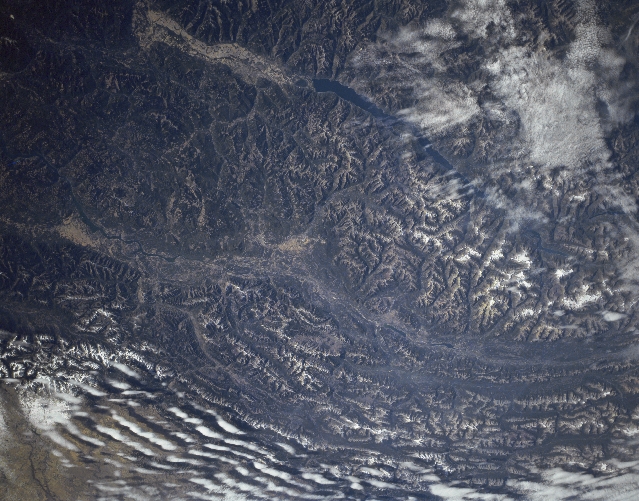 |
| STS068-161-106 Don River, Russia October 1994 A large section of the intensively cultivated (angular field patterns) steppe country of southwest Russia is visible in this synoptic view. The industrial and cultural city of Rostov-On-Don with over a million inhabitants is located slightly above the center of the image. West of Rostov the Don River splits into several distributory channels that wind through the low-lying, swampy delta. Taganrogsky Bay, a northeast extension of the Sea of Azov, has sunlight reflecting off of the surface of the water, thereby creating a milky-colored feature (upper right). The extensive floodplain of the Don River extends diagonally from the corner of the image (bottom left) to the center of the image. |
| Images: | Images: | NO IMAGES YET | |||
| Mission: | STS068 |
||||
| Roll - Frame: | 161 - 106 |
||||
| Geographical Name: | RUSSIAN FEDERATION |
||||
| Features: | ROSTOV-NA-DONU AREA |
||||
| Center Lat x Lon: | 47.5N x 39.5E |
||||
| Film Exposure: | N | N=Normal exposure, U=Under exposed, O=Over exposed, F=out of Focus |
|||
| Percentage of Cloud Cover-CLDP: | 0 |
||||
| Camera:: | LH |
||||
| Camera Tilt: | HO | LO=Low Oblique, HO=High Oblique, NV=Near Vertical |
|||
| Camera Focal Length: | 250 |
||||
| Nadir to Photo Center Direction: | W | The direction from the nadir to the center point, N=North, S=South, E=East, W=West |
|||
| Stereo?: | N | Y=Yes there is an adjacent picture of the same area, N=No there isn't |
|||
| Orbit Number: | 128 |
||||
| Date: | 19941008 | YYYYMMDD |
|||
| Time: | 073601 | GMT HHMMSS |
|||
| Nadir Lat: | 48.7N |
Latitude of suborbital point of spacecraft | |||
| Nadir Lon: | 42.2E |
Longitude of suborbital point of spacecraft | |||
| Sun Azimuth: | 155 | Clockwise angle in degrees from north to the sun measured at the nadir point |
|||
| Space Craft Altitude: | 110 | nautical miles |
|||
| Sun Elevation: | 33 | Angle in degrees between the horizon and the sun, measured at the nadir point |
|||
| Land Views: | PLAIN |
||||
| Water Views: | RIVER, BAY |
||||
| Atmosphere Views: | |
||||
| Man Made Views: | AGRICULTURE |
||||
| City Views: | |
||||
Photo is not associated with any sequences | |||||
| NASA Home Page |
JSC Home Page |
JSC Digital Image Collection |
Earth Science & Remote Sensing |
|
This service is provided by the International Space Station program and the JSC Earth Science & Remote Sensing Unit, ARES Division, Exploration Integration Science Directorate.

|