STS61C-50-90
| NASA Photo ID | STS61C-50-90 |
| Focal Length | 250mm |
| Date taken | 1986.01.15 |
| Time taken | 15:04:56 GMT |
Cloud masks available for this image:
Spacecraft nadir point: 28.5° S, 26.4° E
Photo center point: 28.5° S, 30.0° E
Photo center point by machine learning:
Photo center point: 28.5° S, 30.0° E
Photo center point by machine learning:
Nadir to Photo Center: East
Spacecraft Altitude: 178 nautical miles (330km)
Country or Geographic Name: | REPUBLIC SOUTH AFRICA |
Features: | STERKFONTEIN RESERVOIR |
| Features Found Using Machine Learning: | |
Cloud Cover Percentage: | 30 (26-50)% |
Sun Elevation Angle: | 26° |
Sun Azimuth: | 259° |
Camera: | Hasselblad |
Focal Length: | 250mm |
Camera Tilt: | 51 degrees |
Format: | 5036: Kodak, natural color positive, Ektachrome 5036,200 Professional, ASA 200, stand |
Film Exposure: | Normal |
| Additional Information | |
| Width | Height | Annotated | Cropped | Purpose | Links |
|---|---|---|---|---|---|
| 5700 pixels | 5900 pixels | No | No | Download Image | |
| 500 pixels | 518 pixels | No | No | Download Image | |
| 640 pixels | 480 pixels | No | No | Download Image |
Download Packaged File
Download a Google Earth KML for this Image
View photo footprint information
Download a GeoTIFF for this photo
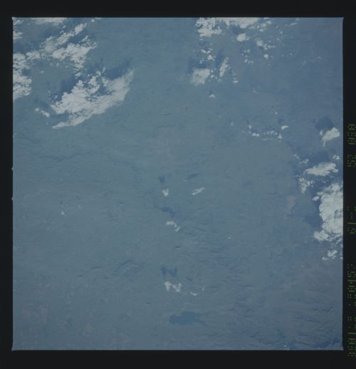
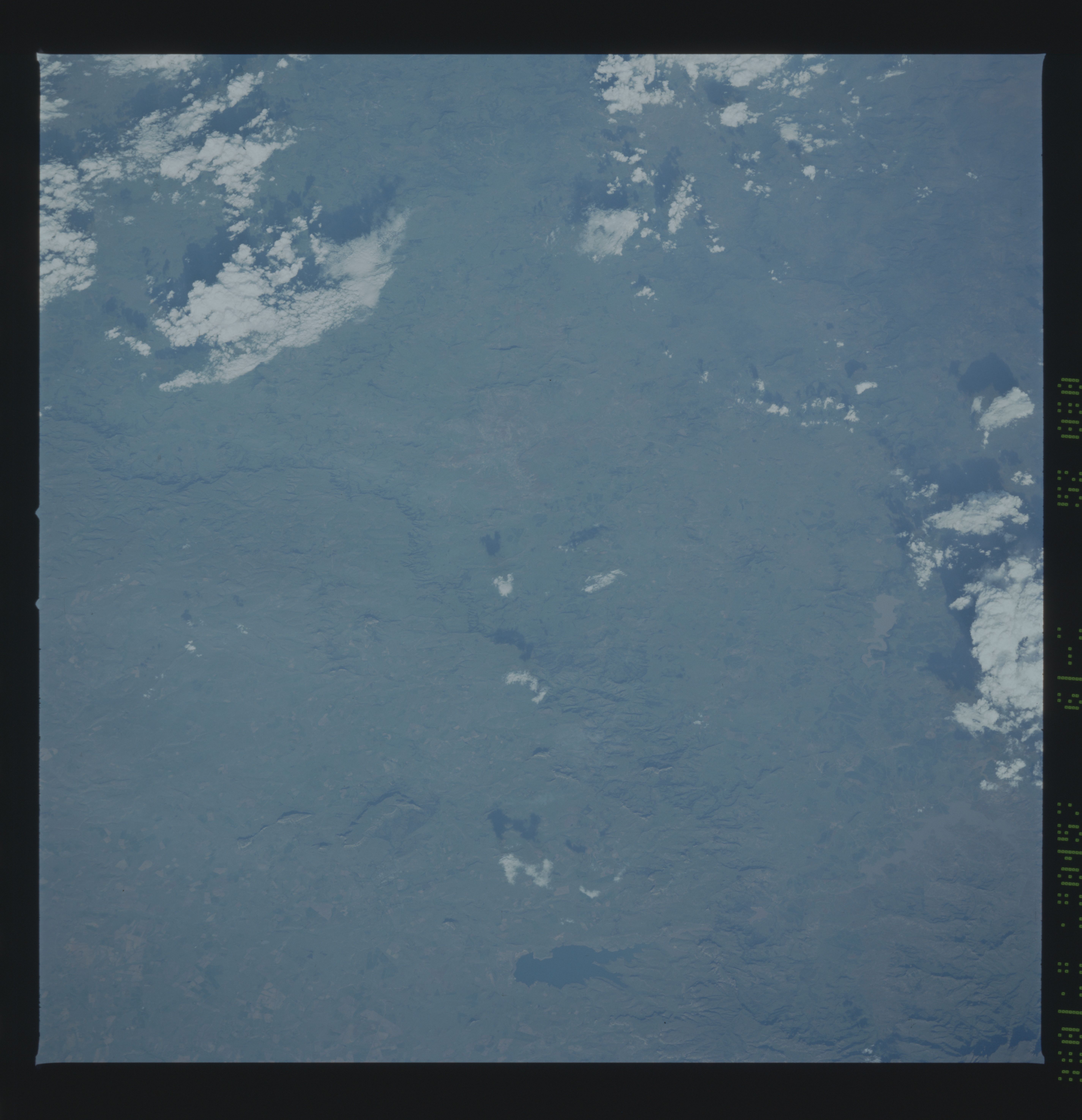
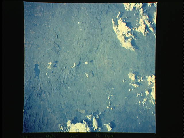
Image Caption: 150 km from the Indian Ocean, the southern African plateau drops
away in a dramatic escarpment towards the sea. This feature, the
Great Escarpment, appears clearly on this south-looking scene
(arrows), dividing the High Veld at 1800 m (right) from the coa-
stal lowlands of Natal Province (left). Muddy lakes Woodstock
(1) and Spioenkop ("Lookout hill," scene of a battle during the
Anglo-Boer War of 1899)(2) hold back water of South Africa's
largest east coast river, the Tugela (3). Water from these lakes
is pumped up and over a low point in the Escarpment to Sterkfon-
tein Dam (4), providing a crucial new source of water for the ra-
pidly expanding industrial heartland of South Africa, the
Witwatersrand (200 km northwest). Next to a prominent flat-
topped hill (5) lies the boom town of Harrismith, named for a
British governor. (61C-50-0090)
