STS61C-42-86
| NASA Photo ID | STS61C-42-86 |
| Focal Length | 250mm |
| Date taken | 1986.01.16 |
| Time taken | 07:15:15 GMT |
Cloud masks available for this image:
Spacecraft nadir point: 16.0° N, 18.4° E
Photo center point: 19.5° N, 22.5° E
Photo center point by machine learning:
Photo center point: 19.5° N, 22.5° E
Photo center point by machine learning:
Nadir to Photo Center: Northeast
Spacecraft Altitude: 184 nautical miles (341km)
Country or Geographic Name: | CHAD |
Features: | ERDI DJI, ERDI FOCHIMI |
| Features Found Using Machine Learning: | |
Cloud Cover Percentage: | 0 (no clouds present) |
Sun Elevation Angle: | 24° |
Sun Azimuth: | 122° |
Camera: | Hasselblad |
Focal Length: | 250mm |
Camera Tilt: | Low Oblique |
Format: | 5017: Kodak, natural color positive, Ektachrome, X Professional, ASA 64, standard base |
Film Exposure: | Normal |
| Additional Information | |
| Width | Height | Annotated | Cropped | Purpose | Links |
|---|---|---|---|---|---|
| 5700 pixels | 5900 pixels | No | No | Download Image | |
| 500 pixels | 518 pixels | No | No | Download Image | |
| 640 pixels | 480 pixels | No | No | Download Image |
Download Packaged File
Download a Google Earth KML for this Image
View photo footprint information
Download a GeoTIFF for this photo
Image Caption:
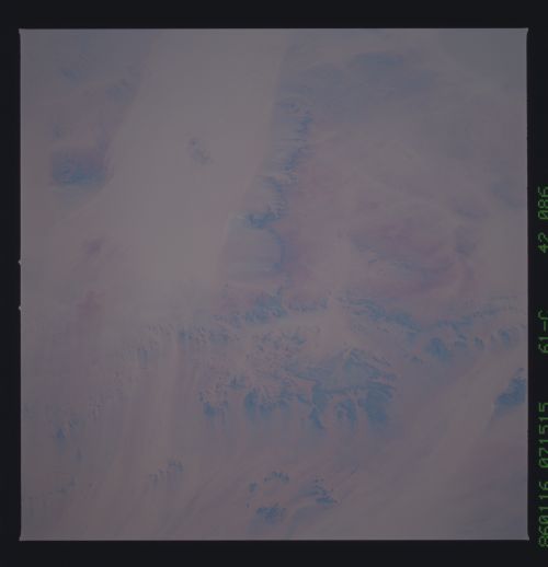
Detailed Views of Mourdi Depression (top left of general
view) T19
Bed of one of the proposed major rivers of the ancient Trans-
African Drainage System (TADS) is the wide, sand-filled depres-
sion (top left). The small, ragged scarps (200-400 feet high) are
formed in ancient eroded soils, probably also related previous
wetter climates. Wind streaks off these dark areas give a vivid
sense of wind direction (NE to SW). (61C-42-0086)
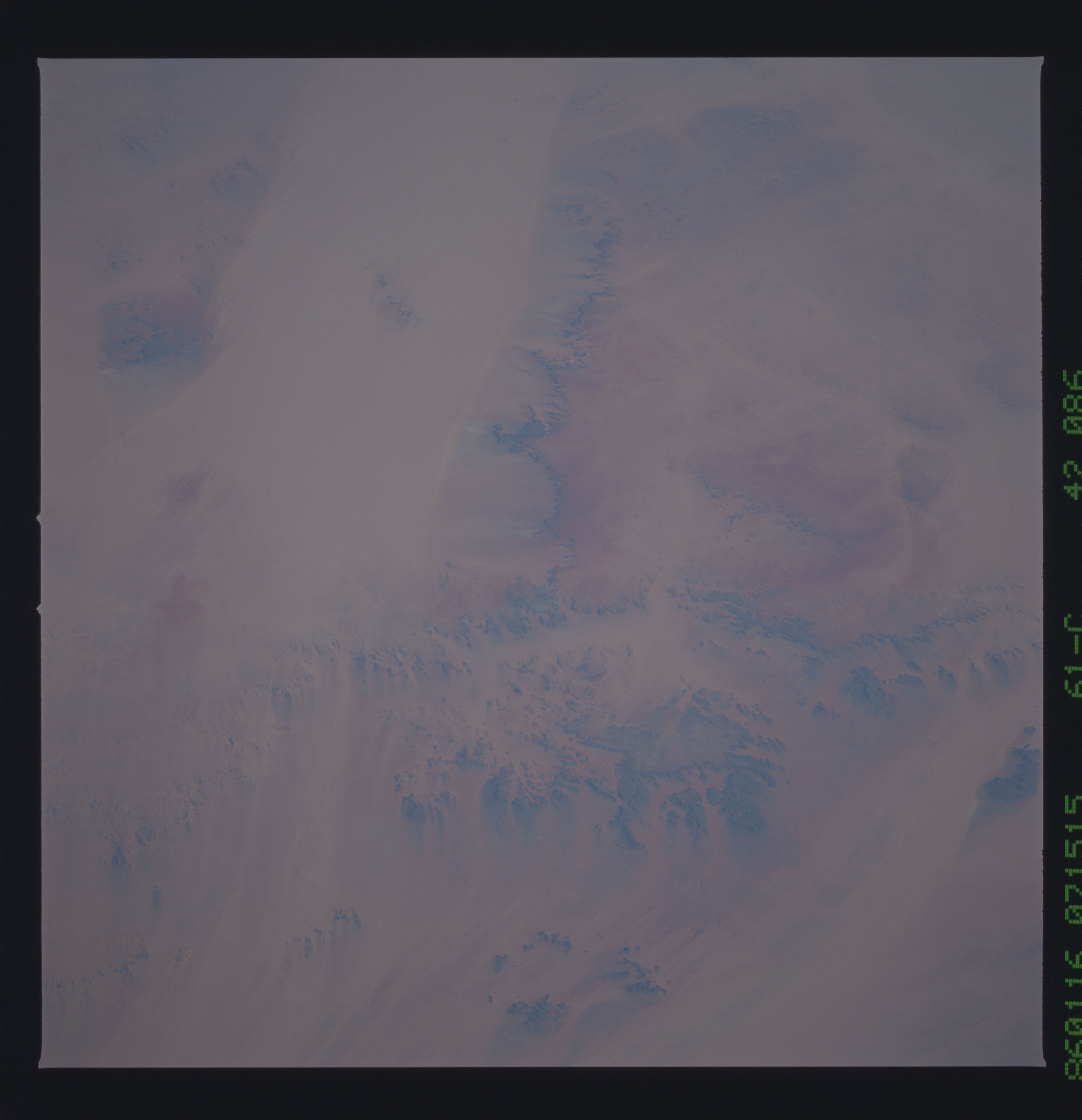
