STS61C-42-45
| NASA Photo ID | STS61C-42-45 |
| Focal Length | 250mm |
| Date taken | 1986.01.15 |
| Time taken | 10:01:59 GMT |

Cloud masks available for this image:
Spacecraft nadir point: 13.7° N, 10.8° W
Photo center point: 12.0° N, 8.5° W
Photo center point by machine learning:
Photo center point: 12.0° N, 8.5° W
Photo center point by machine learning:
Nadir to Photo Center: Southeast
Spacecraft Altitude: 182 nautical miles (337km)
Country or Geographic Name: | MALI |
Features: | NIGER R, BALE RIVER, RES. |
| Features Found Using Machine Learning: | |
Cloud Cover Percentage: | 10 (1-10)% |
Sun Elevation Angle: | 35° |
Sun Azimuth: | 129° |
Camera: | Hasselblad |
Focal Length: | 250mm |
Camera Tilt: | 43 degrees |
Format: | 5017: Kodak, natural color positive, Ektachrome, X Professional, ASA 64, standard base |
Film Exposure: | Normal |
| Additional Information | |
| Width | Height | Annotated | Cropped | Purpose | Links |
|---|---|---|---|---|---|
| 5700 pixels | 5900 pixels | No | No | Download Image | |
| 500 pixels | 518 pixels | No | No | Download Image | |
| 640 pixels | 480 pixels | No | No | Download Image |
Download Packaged File
Download a Google Earth KML for this Image
View photo footprint information
Download a GeoTIFF for this photo
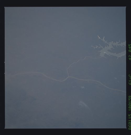
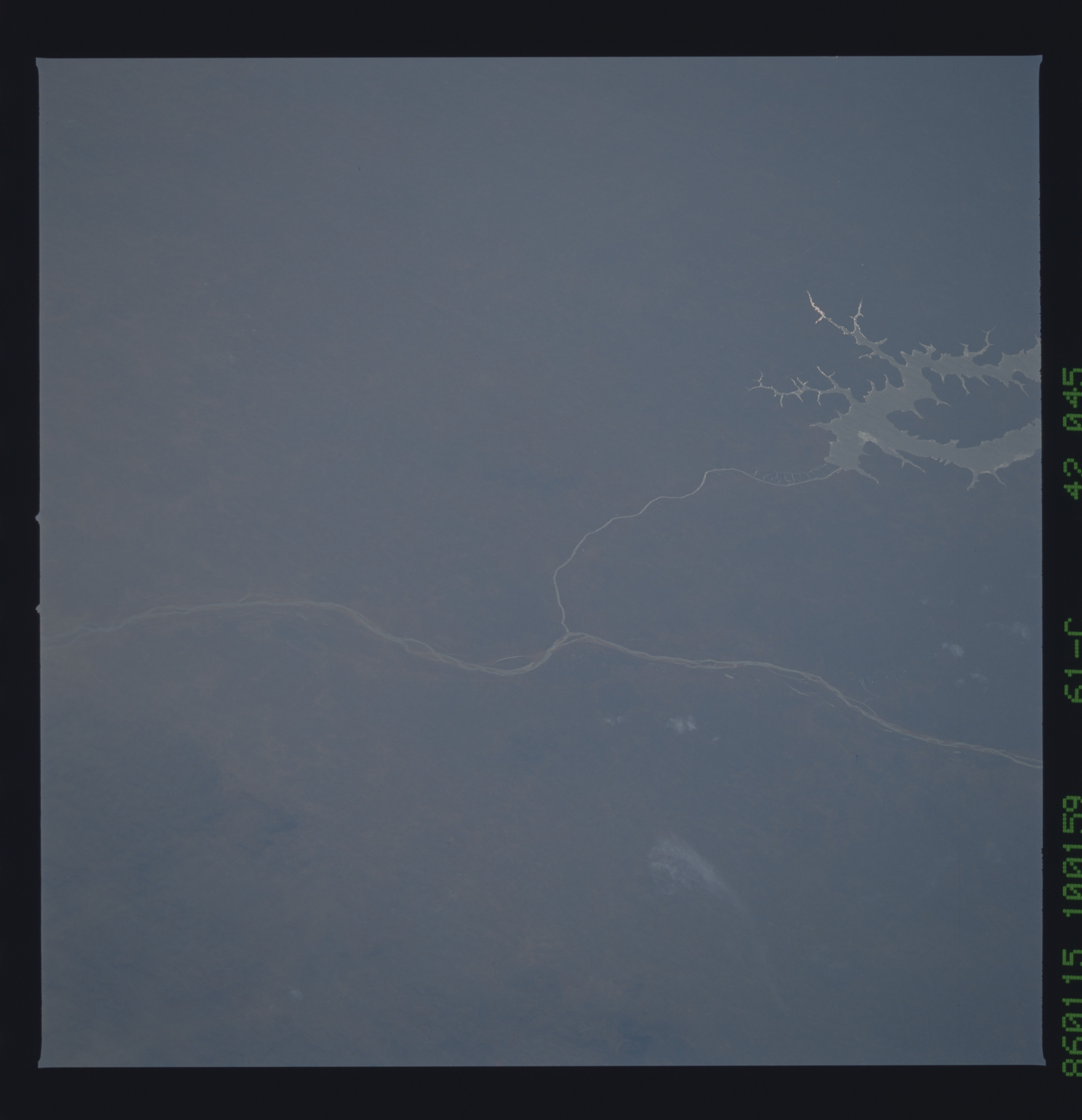
Image Caption:
Niger River, Bale River Reservoir T3
Two low oblique views looking southwest show the Niger River as
it leaves the Loma Mountains and begins its course eastward to
the inland delta region. The Bales River Reservoir, a new reser-
voir completed within the last decade, is visible on both views.
The city of Bamako, Mali (1) can be seen at the right center of
the bottom photograph. (61C-42-0044, 0045, 51D-32-057)
