STS61C-37-21
| NASA Photo ID | STS61C-37-21 |
| Focal Length | 250mm |
| Date taken | 1986.01.13 |
| Time taken | 12:33:15 GMT |
Cloud masks available for this image:
Spacecraft nadir point: 9.0° N, 23.1° W
Photo center point: 15.5° N, 17.5° W
Photo center point by machine learning:
Photo center point: 15.5° N, 17.5° W
Photo center point by machine learning:
Nadir to Photo Center: Northeast
Spacecraft Altitude: 179 nautical miles (332km)
Country or Geographic Name: | SENEGAL |
Features: | DAKAR-DUSTSTORM VEIL |
| Features Found Using Machine Learning: | |
Cloud Cover Percentage: | 20 (11-25)% |
Sun Elevation Angle: | 55° |
Sun Azimuth: | 151° |
Camera: | Hasselblad |
Focal Length: | 250mm |
Camera Tilt: | High Oblique |
Format: | 5017: Kodak, natural color positive, Ektachrome, X Professional, ASA 64, standard base |
Film Exposure: | Normal |
| Additional Information | |
| Width | Height | Annotated | Cropped | Purpose | Links |
|---|---|---|---|---|---|
| 5700 pixels | 5900 pixels | No | No | Download Image | |
| 500 pixels | 518 pixels | No | No | Download Image | |
| 640 pixels | 480 pixels | No | No | Download Image |
Download Packaged File
Download a Google Earth KML for this Image
View photo footprint information
Download a GeoTIFF for this photo
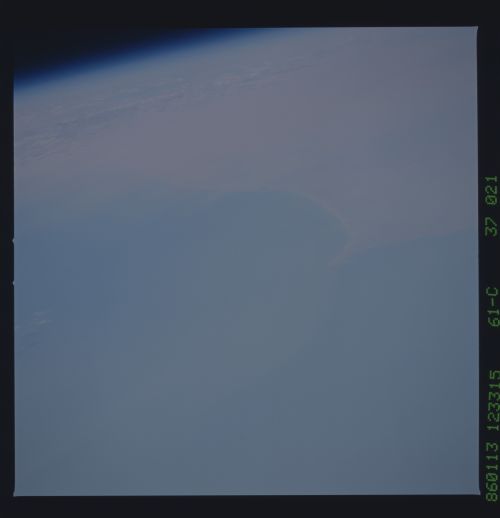
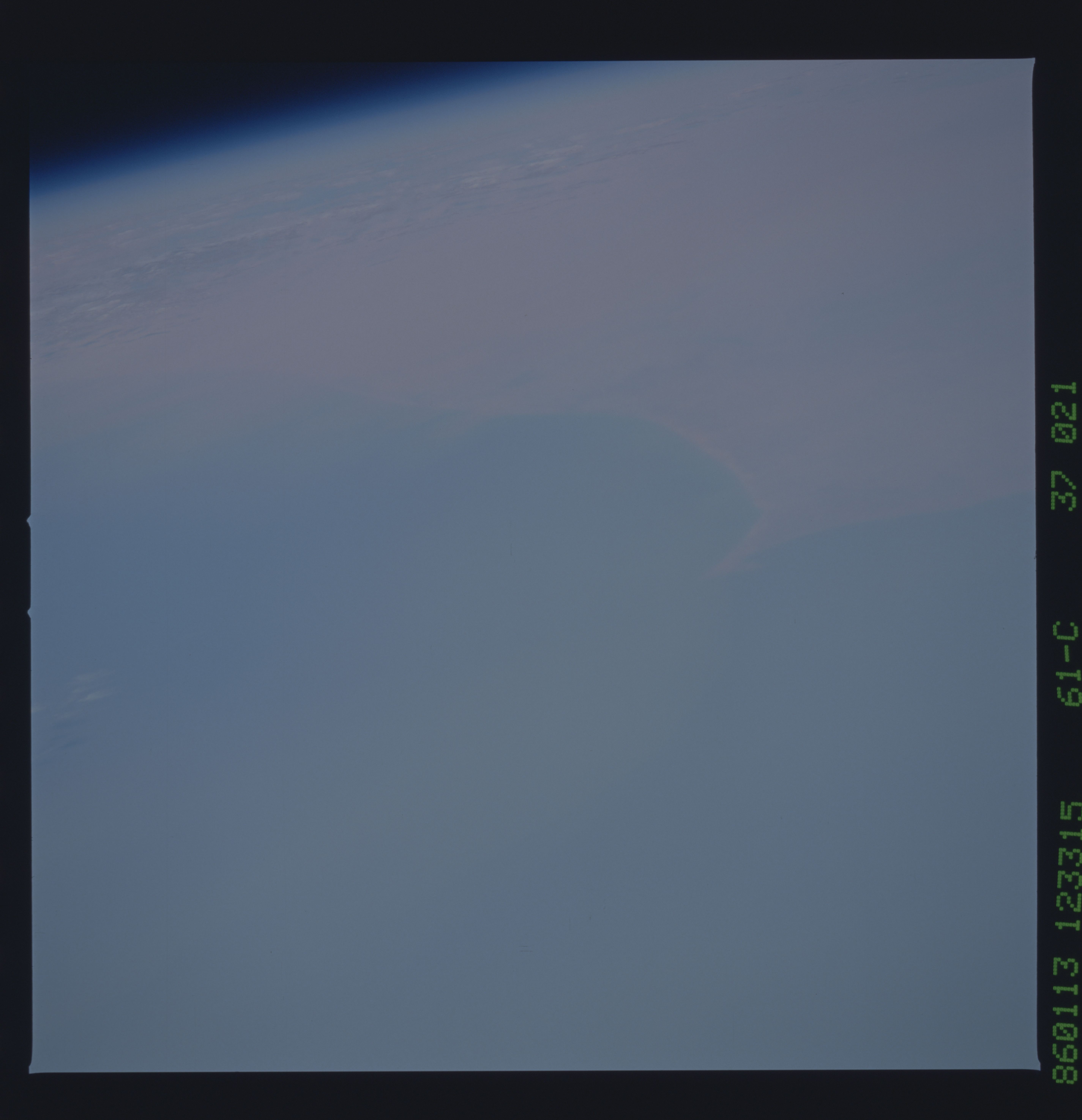
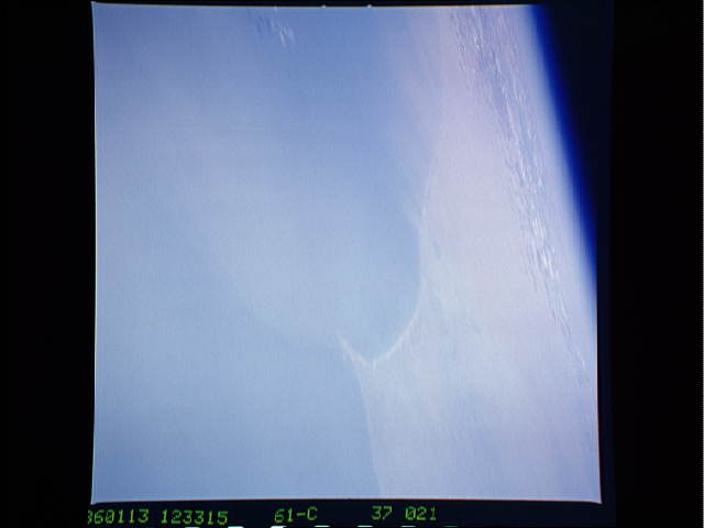
Image Caption: Dakar exit
The continental exit best photographed from Shuttle is the one centered on Africa's west coast. Here the well-known Dakar cape (right) appears with almost complete loss of detail. Further north (top left) the Mauritania's coast disappears completely under dust. Dust can be mobilized and kept aloft for hundreds of kilometers, typically from the Chad basin--before even reaching Africa's west coast. Here the dust passes out over the Atlantic where most falls near the continent (dust thicknesses on the sea bottom become thinner away from the coast).
The continental exit best photographed from Shuttle is the one centered on Africa's west coast. Here the well-known Dakar cape (right) appears with almost complete loss of detail. Further north (top left) the Mauritania's coast disappears completely under dust. Dust can be mobilized and kept aloft for hundreds of kilometers, typically from the Chad basin--before even reaching Africa's west coast. Here the dust passes out over the Atlantic where most falls near the continent (dust thicknesses on the sea bottom become thinner away from the coast).
