STS61C-33-72
| NASA Photo ID | STS61C-33-72 |
| Focal Length | 250mm |
| Date taken | 1986.01.__ |
| Time taken | GMT |
Resolutions offered for this image:
5265 x 5265 pixels 639 x 639 pixels 5700 x 5900 pixels 500 x 518 pixels 640 x 480 pixels 2524 x 2526 pixels
5265 x 5265 pixels 639 x 639 pixels 5700 x 5900 pixels 500 x 518 pixels 640 x 480 pixels 2524 x 2526 pixels

Cloud masks available for this image:
Spacecraft nadir point:
Photo center point: 1.0° S, 62.0° W
Photo center point by machine learning:
Photo center point: 1.0° S, 62.0° W
Photo center point by machine learning:
Nadir to Photo Center:
Spacecraft Altitude: nautical miles (0km)
Country or Geographic Name: | BRAZIL |
Features: | RIO NEGRO, RIO BRANCO |
| Features Found Using Machine Learning: | |
Cloud Cover Percentage: | 10 (1-10)% |
Sun Elevation Angle: | ° |
Sun Azimuth: | ° |
Camera: | Hasselblad |
Focal Length: | 250mm |
Camera Tilt: | Low Oblique |
Format: | 5017: Kodak, natural color positive, Ektachrome, X Professional, ASA 64, standard base |
Film Exposure: | Normal |
| Additional Information | |
| Width | Height | Annotated | Cropped | Purpose | Links |
|---|---|---|---|---|---|
| 5265 pixels | 5265 pixels | No | No | Earth From Space collection | Download Image |
| 639 pixels | 639 pixels | No | No | Earth From Space collection | Download Image |
| 5700 pixels | 5900 pixels | No | No | Download Image | |
| 500 pixels | 518 pixels | No | No | Download Image | |
| 640 pixels | 480 pixels | No | No | Download Image | |
| 2524 pixels | 2526 pixels | Download Image |
Download Packaged File
Download a Google Earth KML for this Image
View photo footprint information
Download a GeoTIFF for this photo
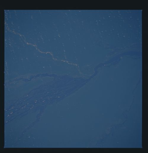
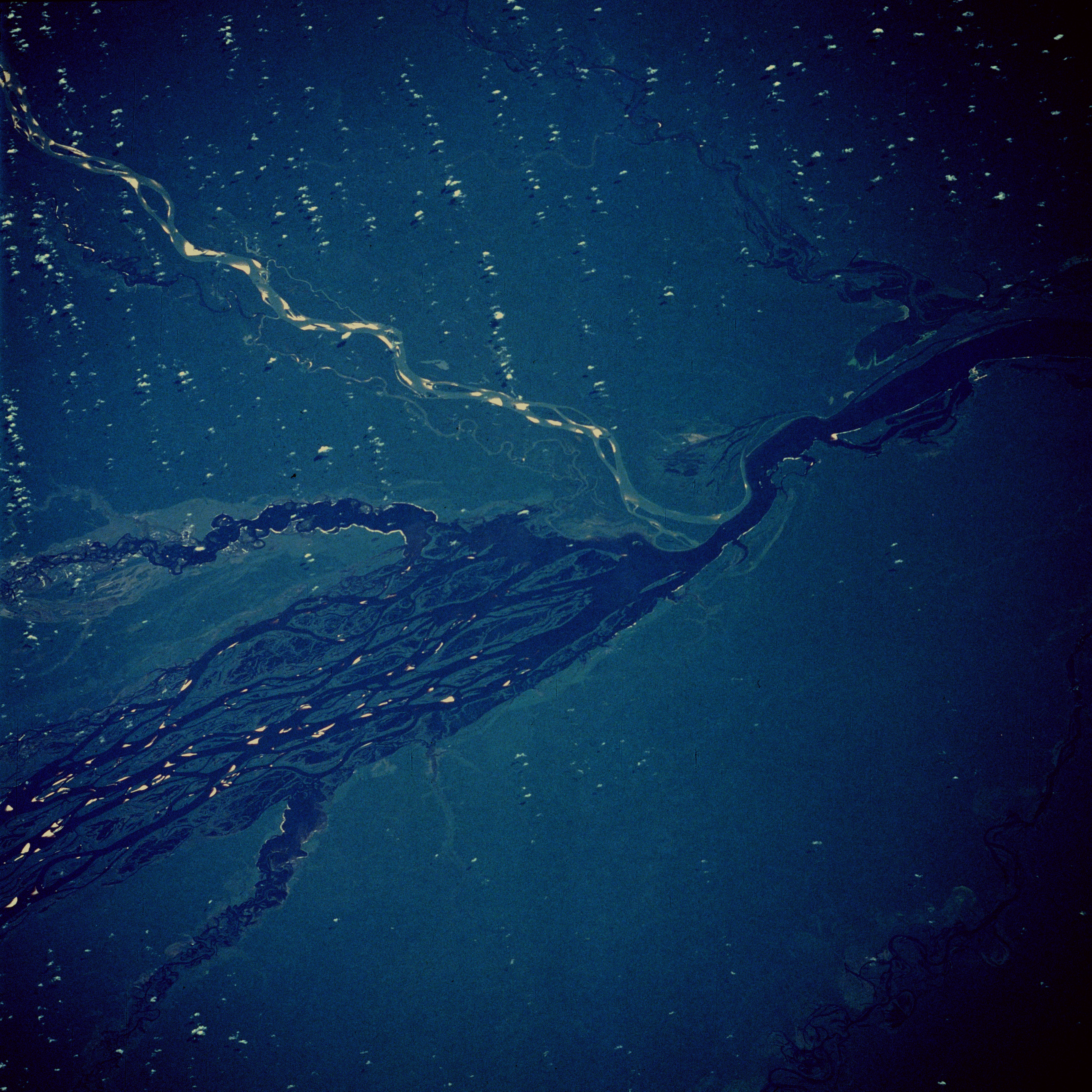
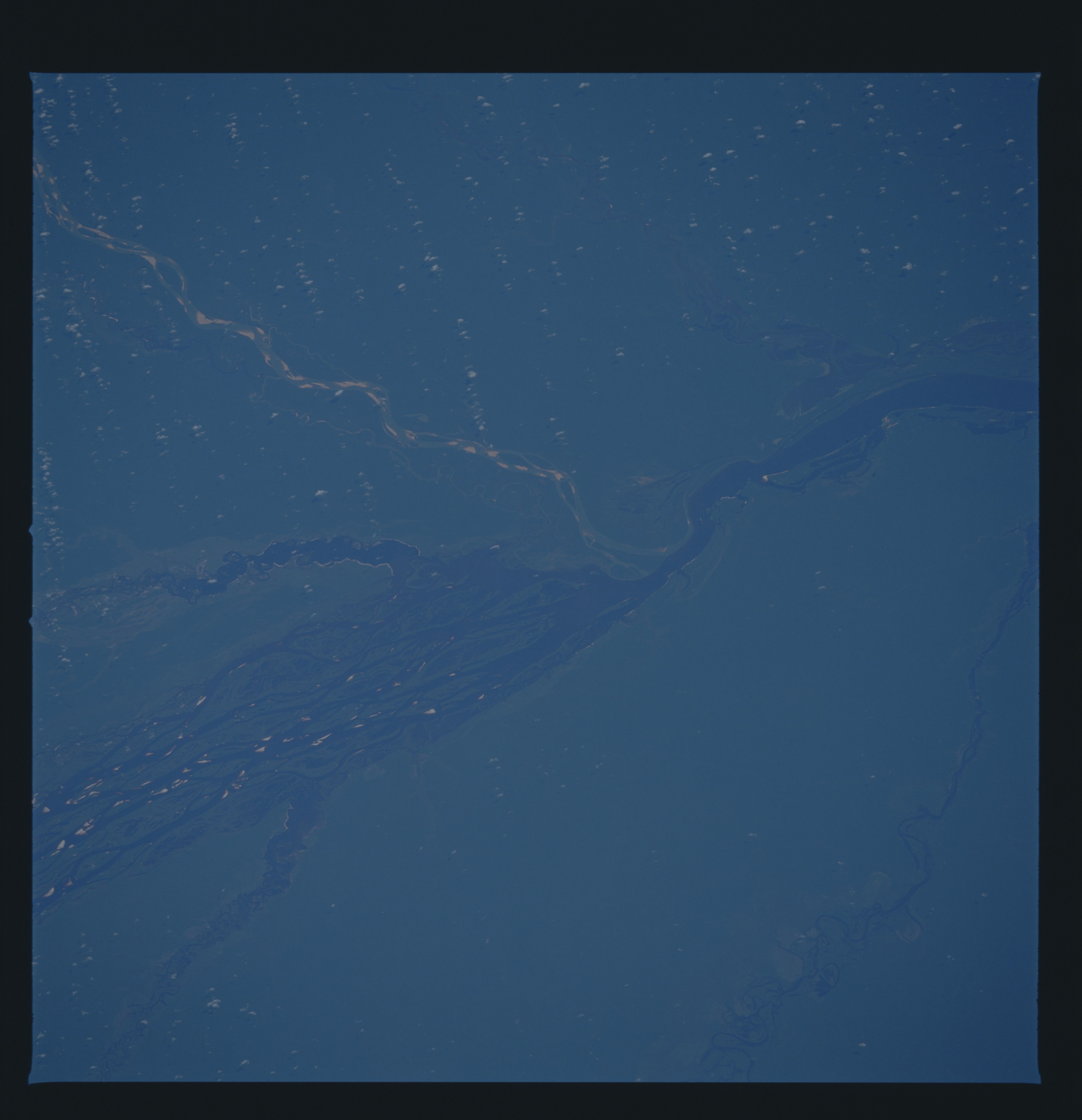
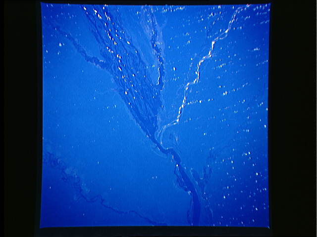
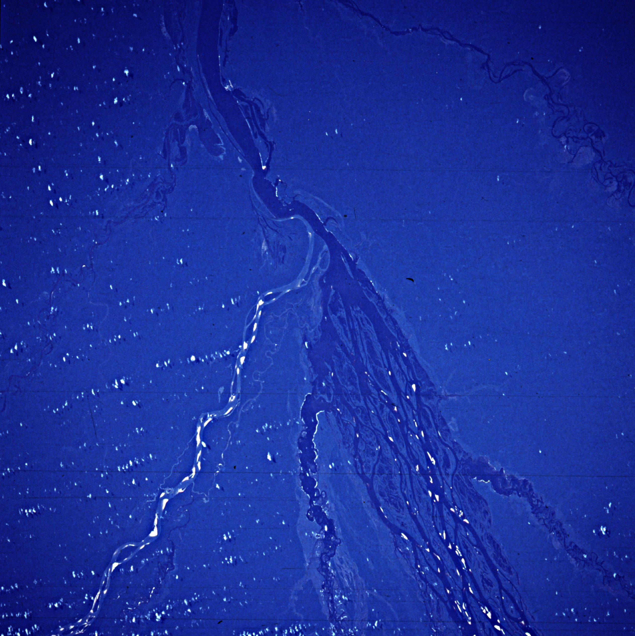
Image Caption: STS61C-33-0072 Rio Negro, Amazonas, Brazil January 1986
One of the major tributaries of Amazon River is the Rio Negro, with its source in the mountains of eastern Colombia and its mouth at Manaus. The Rio Negro, approximately 1400 miles (2255 kilometers) long, is filled with many islands and has many secondary tributaries and channels. This photograph shows five major tributaries entering the Rio Negro approximately 180 miles (290 kilometers) northwest of Manaus, viewing clockwise--the Rio Branco from the north with highly reflective sandbars; the Rio Jauaperi; a portion of the Rio Unini; the Rio Caurés; and the Rio Jufari. The Rio Negro (named for its black color, which results from vegetal debris, not sediment) provides an excellent transportation link for the commercial shipping of rubber and nuts and also for transporting people and general goods to the hinterland of northwestern Brazil.
One of the major tributaries of Amazon River is the Rio Negro, with its source in the mountains of eastern Colombia and its mouth at Manaus. The Rio Negro, approximately 1400 miles (2255 kilometers) long, is filled with many islands and has many secondary tributaries and channels. This photograph shows five major tributaries entering the Rio Negro approximately 180 miles (290 kilometers) northwest of Manaus, viewing clockwise--the Rio Branco from the north with highly reflective sandbars; the Rio Jauaperi; a portion of the Rio Unini; the Rio Caurés; and the Rio Jufari. The Rio Negro (named for its black color, which results from vegetal debris, not sediment) provides an excellent transportation link for the commercial shipping of rubber and nuts and also for transporting people and general goods to the hinterland of northwestern Brazil.
