STS61B-44-11
| NASA Photo ID | STS61B-44-11 |
| Focal Length | 250mm |
| Date taken | 1985.11.28 |
| Time taken | 00:20:49 GMT |
Resolutions offered for this image:
3904 x 3872 pixels 639 x 634 pixels 5700 x 6000 pixels 500 x 526 pixels 640 x 480 pixels
3904 x 3872 pixels 639 x 634 pixels 5700 x 6000 pixels 500 x 526 pixels 640 x 480 pixels

Cloud masks available for this image:
Spacecraft nadir point: 23.3° S, 130.7° E
Photo center point: 23.5° S, 134.0° E
Photo center point by machine learning:
Photo center point: 23.5° S, 134.0° E
Photo center point by machine learning:
Nadir to Photo Center: East
Spacecraft Altitude: 196 nautical miles (363km)
Country or Geographic Name: | AUSTRALIA-NT |
Features: | ALICE SPRINGS |
| Features Found Using Machine Learning: | |
Cloud Cover Percentage: | 0 (no clouds present) |
Sun Elevation Angle: | 52° |
Sun Azimuth: | 95° |
Camera: | Hasselblad |
Focal Length: | 250mm |
Camera Tilt: | 45 degrees |
Format: | 5017: Kodak, natural color positive, Ektachrome, X Professional, ASA 64, standard base |
Film Exposure: | Normal |
| Additional Information | |
| Width | Height | Annotated | Cropped | Purpose | Links |
|---|---|---|---|---|---|
| 3904 pixels | 3872 pixels | No | No | Earth From Space collection | Download Image |
| 639 pixels | 634 pixels | No | No | Earth From Space collection | Download Image |
| 5700 pixels | 6000 pixels | No | No | Download Image | |
| 500 pixels | 526 pixels | No | No | Download Image | |
| 640 pixels | 480 pixels | No | No | Download Image |
Download Packaged File
Download a Google Earth KML for this Image
View photo footprint information
Download a GeoTIFF for this photo
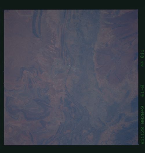
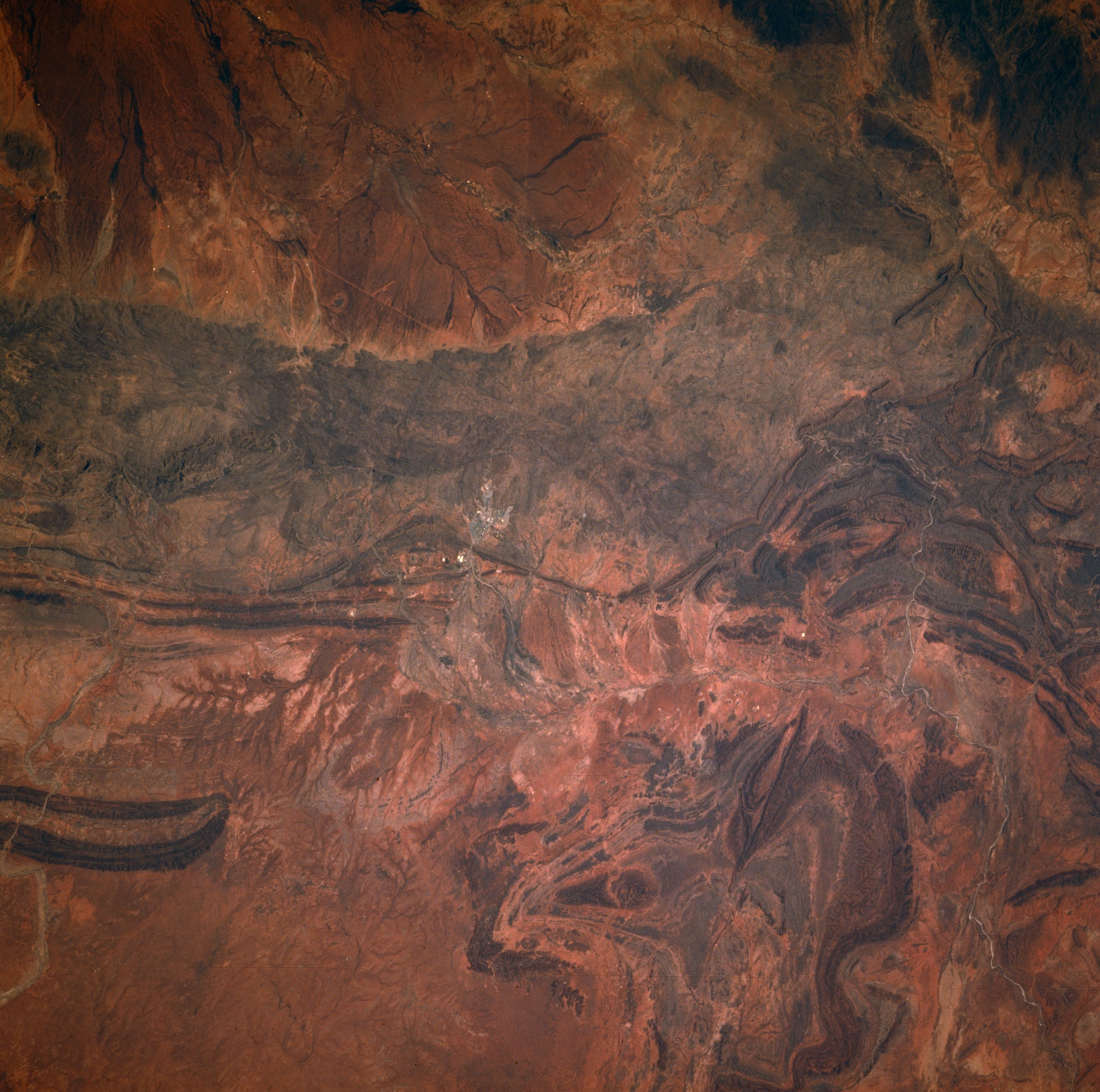
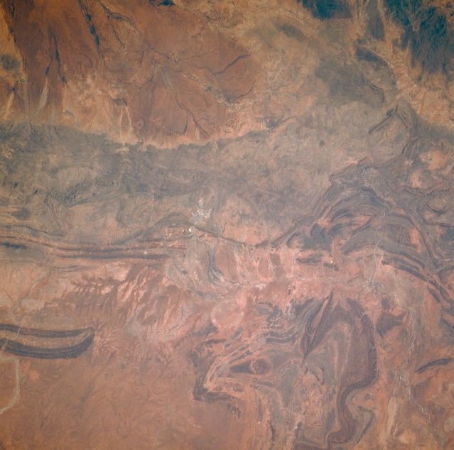
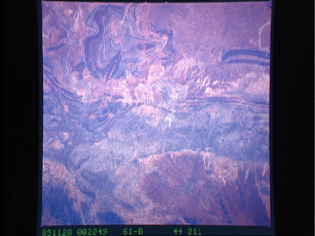
Image Caption: STS61B-44-0011 Alice Springs, Northern Territory, Australia November 1985
Alice Springs, the small, light-colored area near the center of the image, is situated on the floodplains of the Todd and Charles Rivers (barely visible on this image). These rivers rarely contain any water due to the arid environment in this southern region of the Northern Territory. Alice Springs is located almost in the geographic center of Australia. Many low ridgelines and folded mountain structures of the MacDonnell Ranges provide a panorama of hills, gorges, and low mountains. An extensive interior drainage pattern is visible north of the Alice Springs area (upper left).
Alice Springs, the small, light-colored area near the center of the image, is situated on the floodplains of the Todd and Charles Rivers (barely visible on this image). These rivers rarely contain any water due to the arid environment in this southern region of the Northern Territory. Alice Springs is located almost in the geographic center of Australia. Many low ridgelines and folded mountain structures of the MacDonnell Ranges provide a panorama of hills, gorges, and low mountains. An extensive interior drainage pattern is visible north of the Alice Springs area (upper left).
