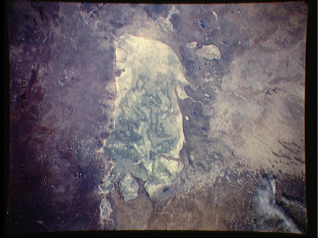
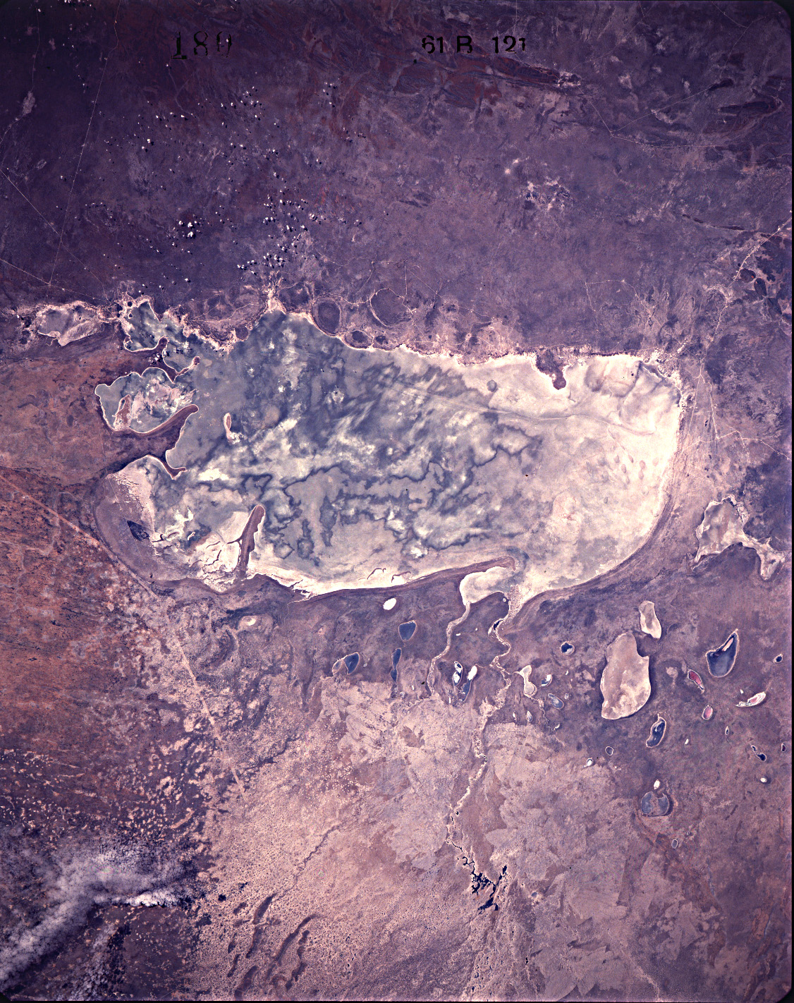
STS61B-121-180
| NASA Photo ID | STS61B-121-180 |
| Focal Length | 250mm |
| Date taken | 1985.11.30 |
| Time taken | 07:28:47 GMT |
Cloud masks available for this image:
Spacecraft nadir point: 19.2° S, 17.6° E
Photo center point: 19.0° S, 16.5° E
Photo center point by machine learning:
Photo center point: 19.0° S, 16.5° E
Photo center point by machine learning:
Nadir to Photo Center: West
Spacecraft Altitude: 202 nautical miles (374km)
Country or Geographic Name: | NAMIBIA |
Features: | ETOSHA PAN |
| Features Found Using Machine Learning: | |
Cloud Cover Percentage: | 0 (no clouds present) |
Sun Elevation Angle: | 45° |
Sun Azimuth: | 101° |
Camera: | Linhof |
Focal Length: | 250mm |
Camera Tilt: | 18 degrees |
Format: | 5017: Kodak, natural color positive, Ektachrome, X Professional, ASA 64, standard base |
Film Exposure: | Normal |
| Additional Information | |
| Width | Height | Annotated | Cropped | Purpose | Links |
|---|---|---|---|---|---|
| 640 pixels | 480 pixels | No | No | ISD 1 | Download Image |
| 1126 pixels | 1422 pixels | Download Image |
Download Packaged File
Download a Google Earth KML for this Image
View photo footprint information
Download a GeoTIFF for this photo
Image Caption: none
