STS61A-50-81
| NASA Photo ID | STS61A-50-81 |
| Focal Length | 250mm |
| Date taken | 1985.11.01 |
| Time taken | 21:52:10 GMT |
Resolutions offered for this image:
3872 x 3904 pixels 634 x 639 pixels 5700 x 5900 pixels 500 x 518 pixels 640 x 480 pixels
3872 x 3904 pixels 634 x 639 pixels 5700 x 5900 pixels 500 x 518 pixels 640 x 480 pixels
Cloud masks available for this image:
Spacecraft nadir point: 32.8° S, 150.2° E
Photo center point: 33.5° S, 150.5° E
Photo center point by machine learning:
Photo center point: 33.5° S, 150.5° E
Photo center point by machine learning:
Nadir to Photo Center: South
Spacecraft Altitude: 179 nautical miles (332km)
Country or Geographic Name: | AUSTRALIA-NSW |
Features: | LAKE BURRAGORANG |
| Features Found Using Machine Learning: | |
Cloud Cover Percentage: | 0 (no clouds present) |
Sun Elevation Angle: | 34° |
Sun Azimuth: | 85° |
Camera: | Hasselblad |
Focal Length: | 250mm |
Camera Tilt: | 14 degrees |
Format: | 5017: Kodak, natural color positive, Ektachrome, X Professional, ASA 64, standard base |
Film Exposure: | Normal |
| Additional Information | |
| Width | Height | Annotated | Cropped | Purpose | Links |
|---|---|---|---|---|---|
| 3872 pixels | 3904 pixels | No | No | Earth From Space collection | Download Image |
| 634 pixels | 639 pixels | No | No | Earth From Space collection | Download Image |
| 5700 pixels | 5900 pixels | No | No | Download Image | |
| 500 pixels | 518 pixels | No | No | Download Image | |
| 640 pixels | 480 pixels | No | No | Download Image |
Download Packaged File
Download a Google Earth KML for this Image
View photo footprint information
Download a GeoTIFF for this photo
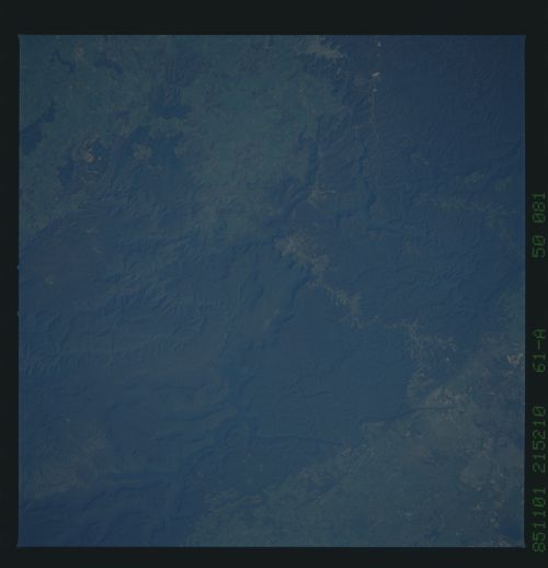
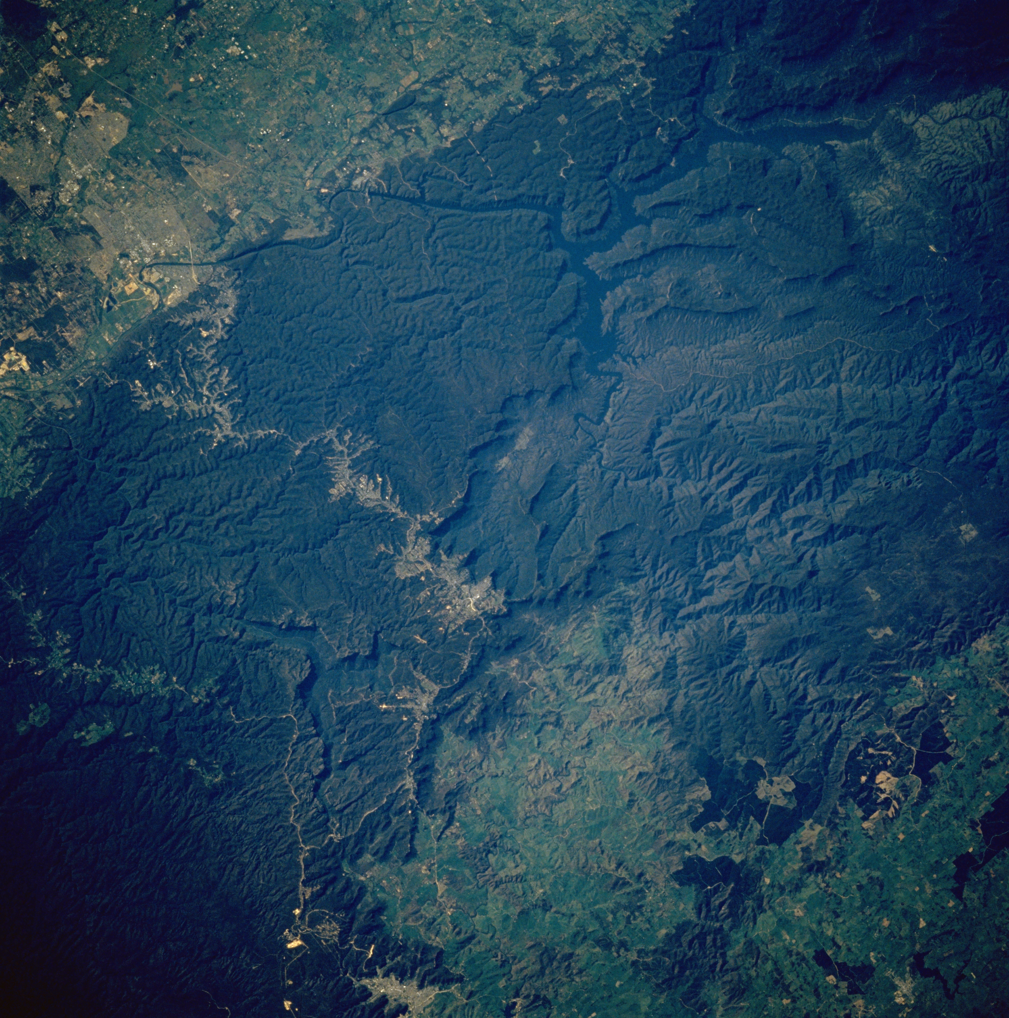
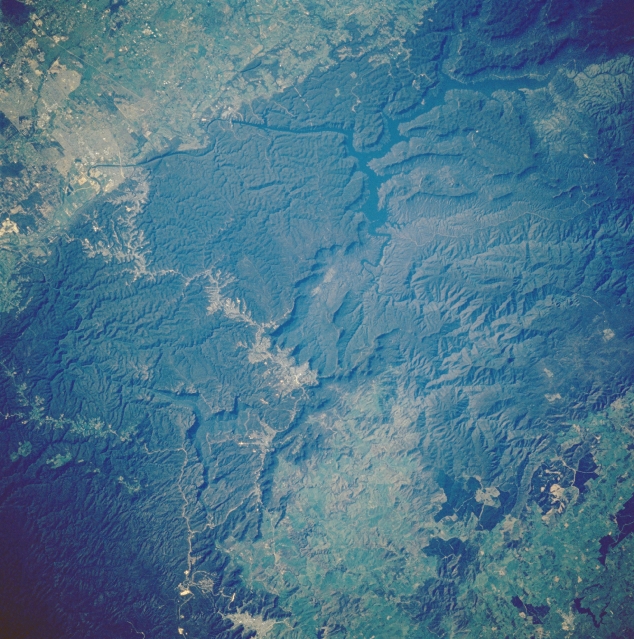
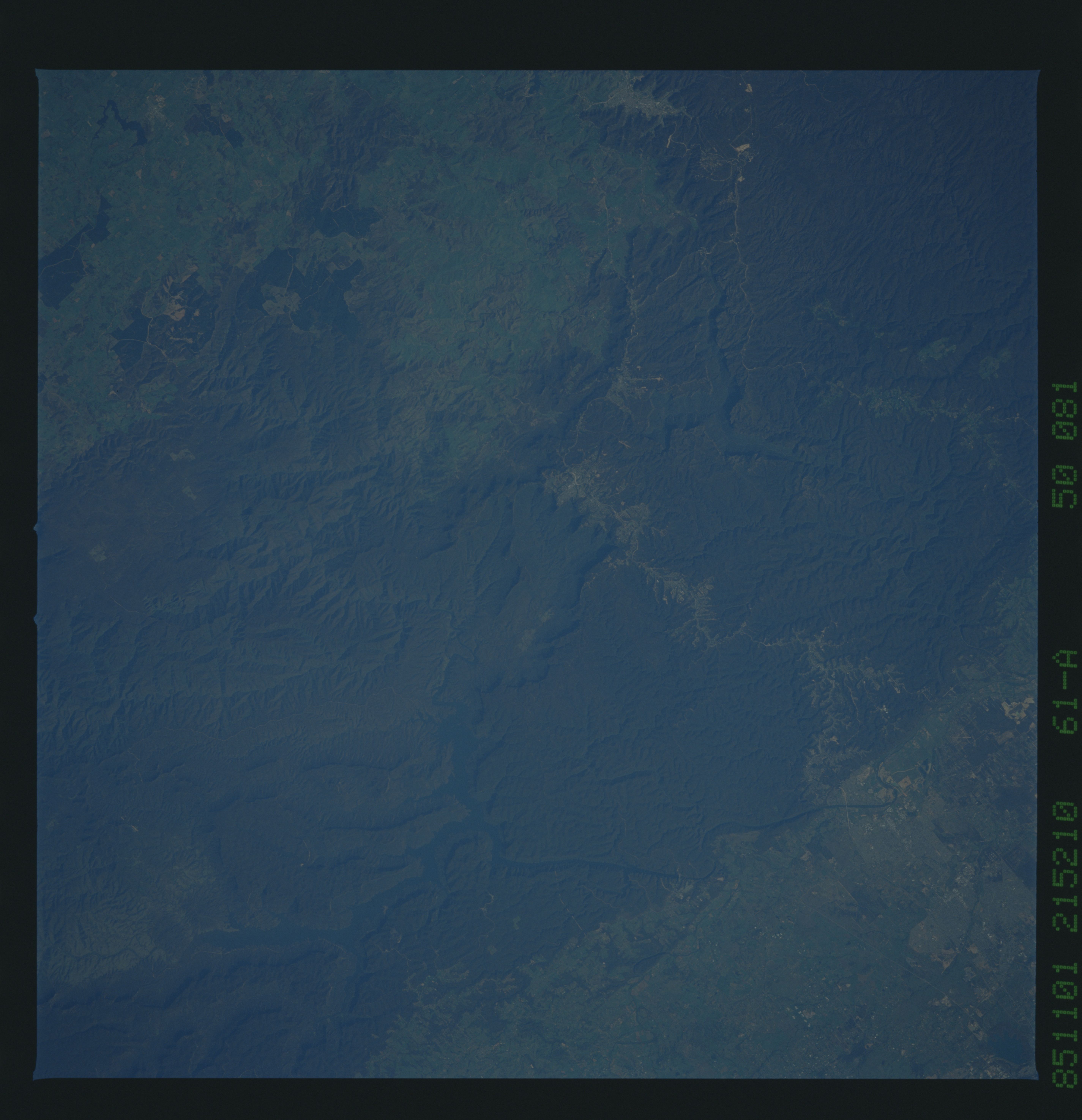
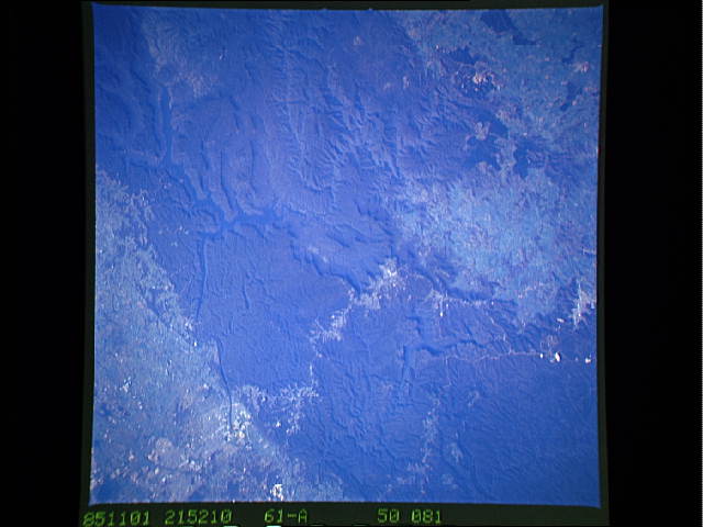
Image Caption: STS61A-50-081 Lake Burragorang, New South Wales, Australia November 1985
As in STS61A-50-080, the dark blue, irregular-shaped Lake Burragorang, as well as the Wollondilly and Coxs River Valleys can be discerned within the darker, densely vegetated mountains of the Great Dividing Range west of Sydney. The lighter colored areas in the upper left corner of the image are the western suburbs of Sydney and the, crooked, lighter-colored corridor through the forested mountains leads to the interior cities of Katooma and Blackheath (near the center of the picture) and beyond. The lighter green area appears to be a fairly extensive alpine meadow within the Great Dividing Range. Another highway is visible in a valley north of the larger developing corridor as it snakes its way through the mountains (lower left).
As in STS61A-50-080, the dark blue, irregular-shaped Lake Burragorang, as well as the Wollondilly and Coxs River Valleys can be discerned within the darker, densely vegetated mountains of the Great Dividing Range west of Sydney. The lighter colored areas in the upper left corner of the image are the western suburbs of Sydney and the, crooked, lighter-colored corridor through the forested mountains leads to the interior cities of Katooma and Blackheath (near the center of the picture) and beyond. The lighter green area appears to be a fairly extensive alpine meadow within the Great Dividing Range. Another highway is visible in a valley north of the larger developing corridor as it snakes its way through the mountains (lower left).
