STS61A-48-76
| NASA Photo ID | STS61A-48-76 |
| Focal Length | 250mm |
| Date taken | 1985.11.03 |
| Time taken | 16:40:52 GMT |
Resolutions offered for this image:
3904 x 3904 pixels 639 x 639 pixels 5700 x 5900 pixels 500 x 518 pixels 640 x 480 pixels
3904 x 3904 pixels 639 x 639 pixels 5700 x 5900 pixels 500 x 518 pixels 640 x 480 pixels


Cloud masks available for this image:
Spacecraft nadir point: 30.4° N, 94.7° W
Photo center point: 30.0° N, 95.5° W
Photo center point by machine learning:
Photo center point: 30.0° N, 95.5° W
Photo center point by machine learning:
Nadir to Photo Center: Southwest
Spacecraft Altitude: 177 nautical miles (328km)
Country or Geographic Name: | USA-TEXAS |
Features: | HOUSTON |
| Features Found Using Machine Learning: | |
Cloud Cover Percentage: | 0 (no clouds present) |
Sun Elevation Angle: | 40° |
Sun Azimuth: | 153° |
Camera: | Hasselblad |
Focal Length: | 250mm |
Camera Tilt: | 17 degrees |
Format: | 5017: Kodak, natural color positive, Ektachrome, X Professional, ASA 64, standard base |
Film Exposure: | Normal |
| Additional Information | |
| Width | Height | Annotated | Cropped | Purpose | Links |
|---|---|---|---|---|---|
| 3904 pixels | 3904 pixels | No | No | Earth From Space collection | Download Image |
| 639 pixels | 639 pixels | No | No | Earth From Space collection | Download Image |
| 5700 pixels | 5900 pixels | No | No | Download Image | |
| 500 pixels | 518 pixels | No | No | Download Image | |
| 640 pixels | 480 pixels | No | No | Download Image |
Download Packaged File
Download a Google Earth KML for this Image
View photo footprint information
Download a GeoTIFF for this photo
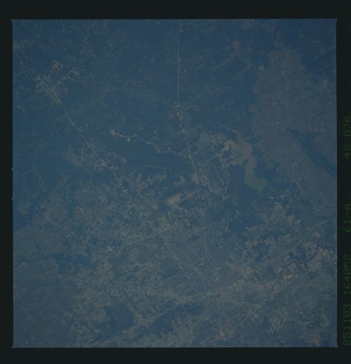
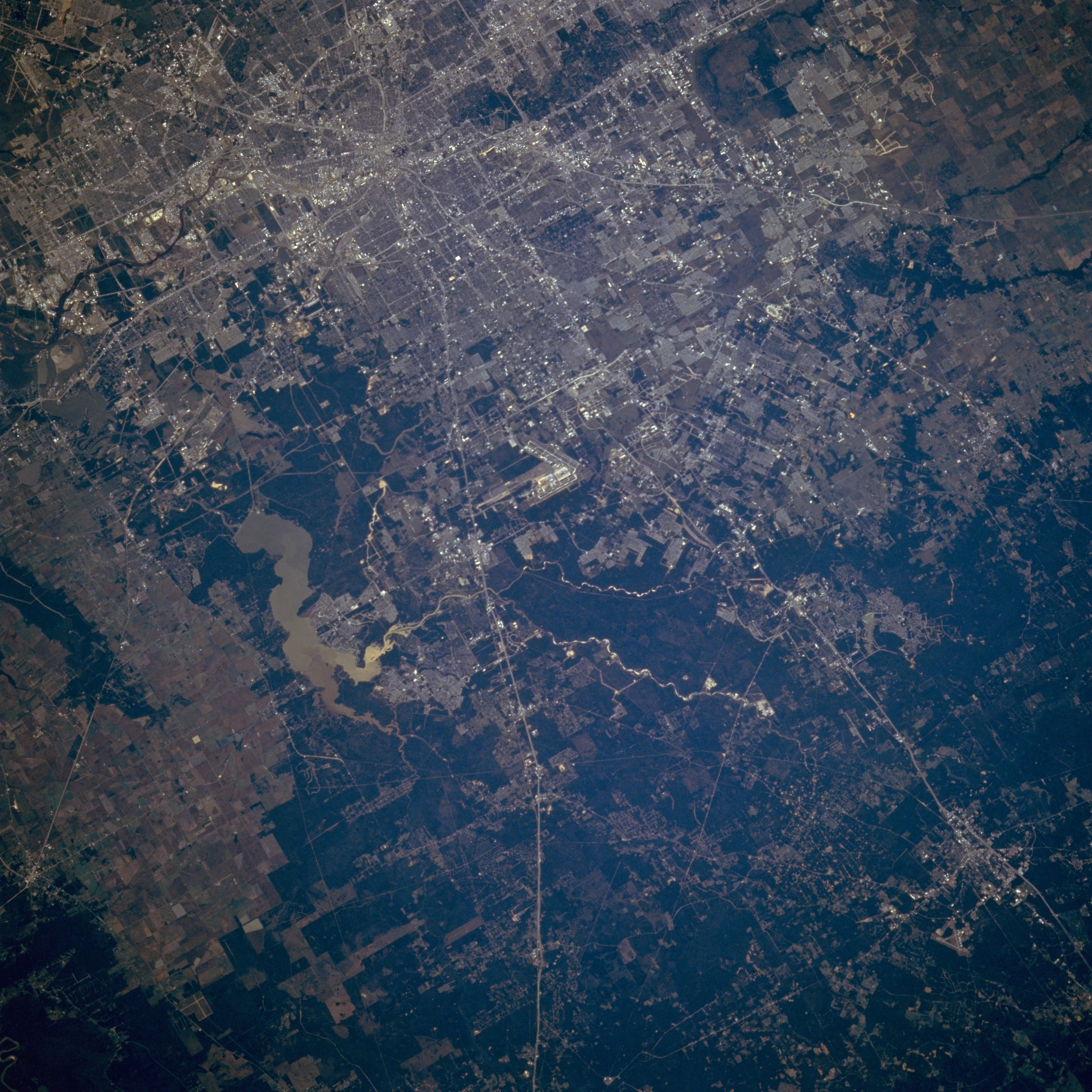
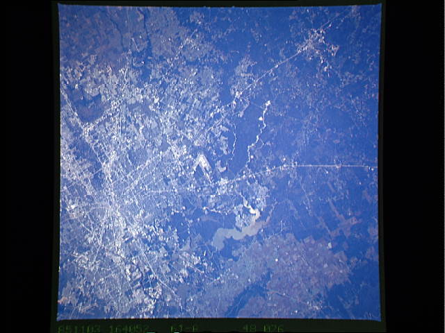
Image Caption: STS61A-048-0076 North Houston and Lake Houston, Texas, U.S.A. November 1985
The runways of George Bush Intercontinental Airport are visible in this south-southwest-looking, low-oblique photograph. Fed and drained by the San Jacinto River, sediment-laden Lake Houston, east of the airport, supplies approximately half of the drinking water for Houston and surrounding communities. The large amount of sediment in the lake is the result of clearing land for new communities north of Houston along the San Jacinto River. North and northwest Houston were the fastest growing areas for housing and population at the time this photograph was taken. Radiating outward from Houston are north-south-oriented Interstate Highway 45 and north-northeast-trending U.S. Highway 59.
The runways of George Bush Intercontinental Airport are visible in this south-southwest-looking, low-oblique photograph. Fed and drained by the San Jacinto River, sediment-laden Lake Houston, east of the airport, supplies approximately half of the drinking water for Houston and surrounding communities. The large amount of sediment in the lake is the result of clearing land for new communities north of Houston along the San Jacinto River. North and northwest Houston were the fastest growing areas for housing and population at the time this photograph was taken. Radiating outward from Houston are north-south-oriented Interstate Highway 45 and north-northeast-trending U.S. Highway 59.
