STS61A-48-75
| NASA Photo ID | STS61A-48-75 |
| Focal Length | 250mm |
| Date taken | 1985.11.03 |
| Time taken | 16:40:47 GMT |
Resolutions offered for this image:
3840 x 3872 pixels 634 x 639 pixels 5700 x 5900 pixels 500 x 518 pixels 640 x 480 pixels 3228 x 3239 pixels
3840 x 3872 pixels 634 x 639 pixels 5700 x 5900 pixels 500 x 518 pixels 640 x 480 pixels 3228 x 3239 pixels


Cloud masks available for this image:
Spacecraft nadir point: 30.2° N, 95.0° W
Photo center point: 30.0° N, 95.5° W
Photo center point by machine learning:
Photo center point: 30.0° N, 95.5° W
Photo center point by machine learning:
Nadir to Photo Center: West
Spacecraft Altitude: 177 nautical miles (328km)
Country or Geographic Name: | USA-TEXAS |
Features: | HOUSTON |
| Features Found Using Machine Learning: | |
Cloud Cover Percentage: | 0 (no clouds present) |
Sun Elevation Angle: | 40° |
Sun Azimuth: | 153° |
Camera: | Hasselblad |
Focal Length: | 250mm |
Camera Tilt: | 10 degrees |
Format: | 5017: Kodak, natural color positive, Ektachrome, X Professional, ASA 64, standard base |
Film Exposure: | Normal |
| Additional Information | |
| Width | Height | Annotated | Cropped | Purpose | Links |
|---|---|---|---|---|---|
| 3840 pixels | 3872 pixels | No | No | Earth From Space collection | Download Image |
| 634 pixels | 639 pixels | No | No | Earth From Space collection | Download Image |
| 5700 pixels | 5900 pixels | No | No | Download Image | |
| 500 pixels | 518 pixels | No | No | Download Image | |
| 640 pixels | 480 pixels | No | No | Download Image | |
| 3228 pixels | 3239 pixels | Download Image |
Download Packaged File
Download a Google Earth KML for this Image
View photo footprint information
Download a GeoTIFF for this photo
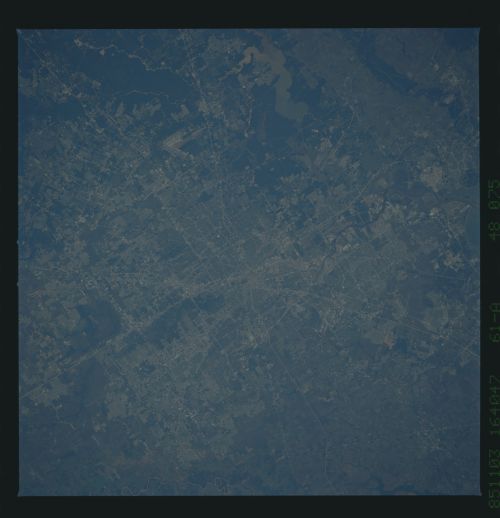
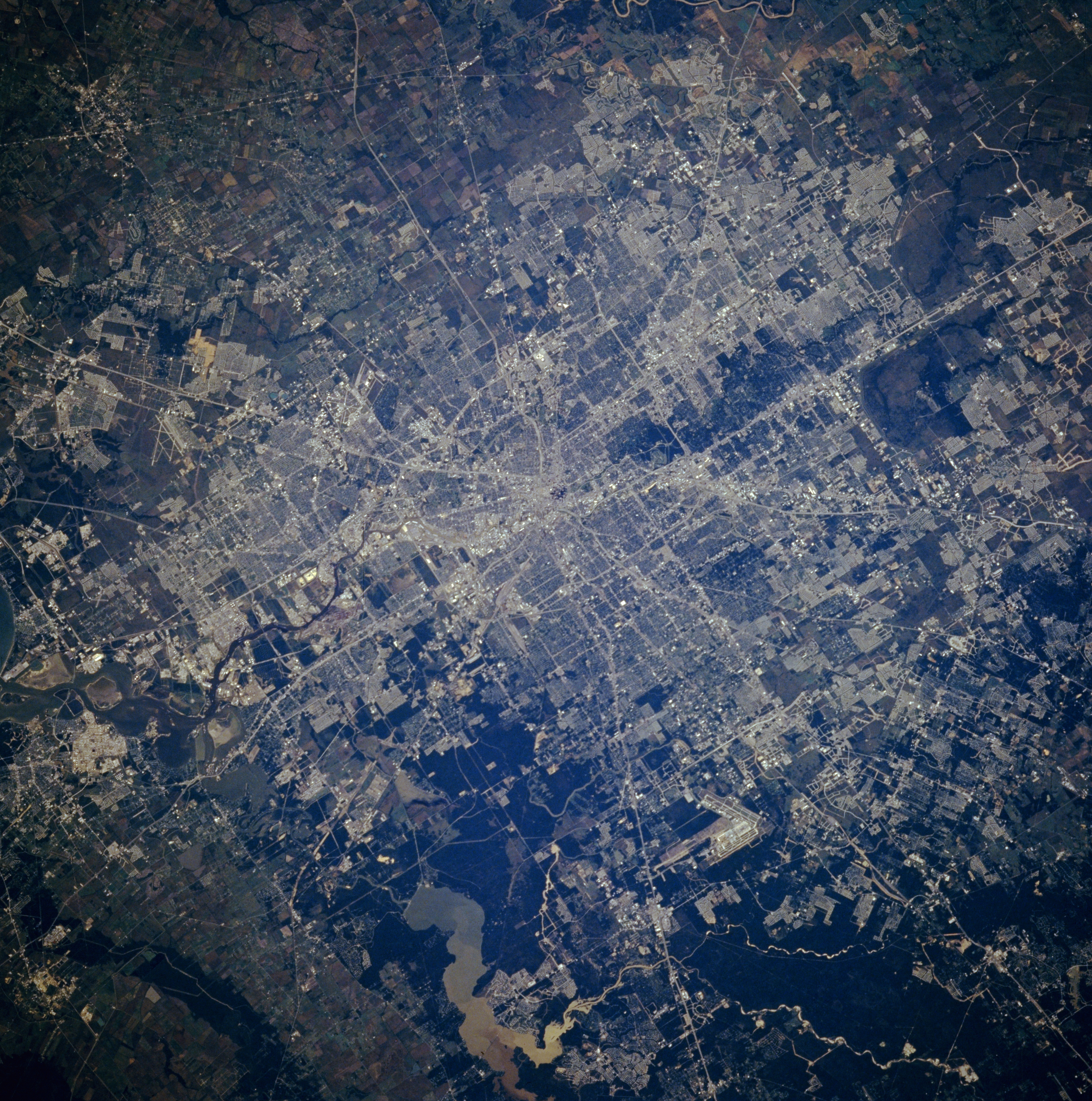
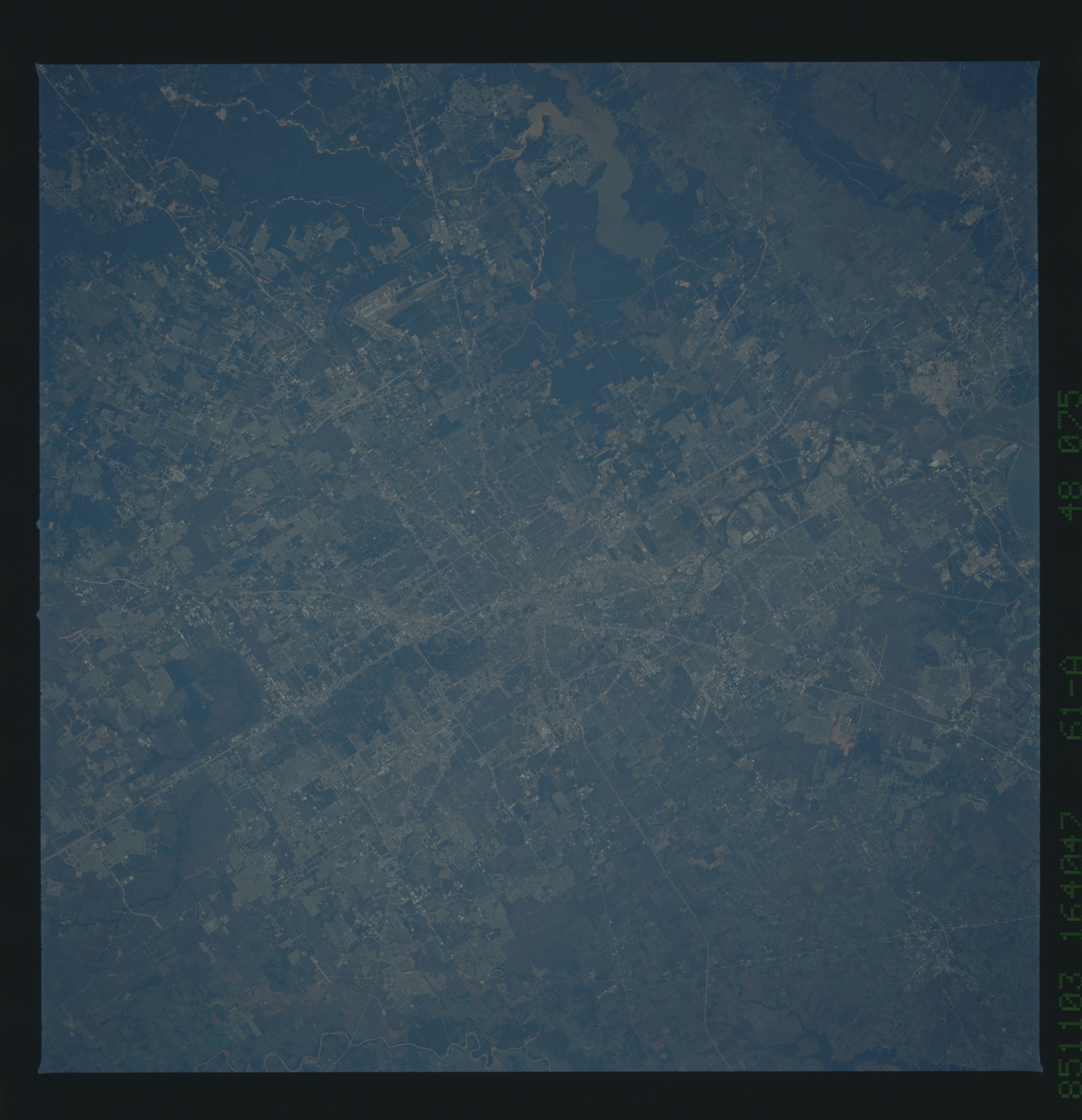
Image Caption: STS61A-48-75 Houston, Texas, U.S.A. November 1985
Houston, the fourth most populous city in the United States and the third-busiest port in the United States, is featured in this southwest-looking, low-oblique photograph. Located 25 miles (40 kilometers) northwest of Galveston Bay (not visible) on the coastal plain, Houston is a great commercial, medical, financial, and industrial hub and is one of the world's major oil centers. Visible are sediment-laden Lake Houston, the source of much of Houston's drinking water; the runways of George Bush Intercontinental Airport west of the lake; and the small city of Alvin (upper left). Houston's continued growth began with the completion of the Houston Ship Channel in 1914.
Houston, the fourth most populous city in the United States and the third-busiest port in the United States, is featured in this southwest-looking, low-oblique photograph. Located 25 miles (40 kilometers) northwest of Galveston Bay (not visible) on the coastal plain, Houston is a great commercial, medical, financial, and industrial hub and is one of the world's major oil centers. Visible are sediment-laden Lake Houston, the source of much of Houston's drinking water; the runways of George Bush Intercontinental Airport west of the lake; and the small city of Alvin (upper left). Houston's continued growth began with the completion of the Houston Ship Channel in 1914.
