STS61A-44-90
| NASA Photo ID | STS61A-44-90 |
| Focal Length | 250mm |
| Date taken | 1985.11.03 |
| Time taken | 01:21:22 GMT |
Resolutions offered for this image:
4096 x 4096 pixels 640 x 640 pixels 5700 x 5900 pixels 500 x 518 pixels 640 x 480 pixels 514 x 504 pixels
4096 x 4096 pixels 640 x 640 pixels 5700 x 5900 pixels 500 x 518 pixels 640 x 480 pixels 514 x 504 pixels


Cloud masks available for this image:
Spacecraft nadir point: 1.0° N, 116.9° E
Photo center point: 0.5° N, 116.5° E
Photo center point by machine learning:
Photo center point: 0.5° N, 116.5° E
Photo center point by machine learning:
Nadir to Photo Center: Southwest
Spacecraft Altitude: 175 nautical miles (324km)
Country or Geographic Name: | INDONESIA |
Features: | BORNEO |
| Features Found Using Machine Learning: | |
Cloud Cover Percentage: | 20 (11-25)% |
Sun Elevation Angle: | 48° |
Sun Azimuth: | 114° |
Camera: | Hasselblad |
Focal Length: | 250mm |
Camera Tilt: | 12 degrees |
Format: | 5017: Kodak, natural color positive, Ektachrome, X Professional, ASA 64, standard base |
Film Exposure: | Normal |
| Additional Information | |
| Width | Height | Annotated | Cropped | Purpose | Links |
|---|---|---|---|---|---|
| 4096 pixels | 4096 pixels | No | No | Earth From Space collection | Download Image |
| 640 pixels | 640 pixels | No | No | Earth From Space collection | Download Image |
| 5700 pixels | 5900 pixels | No | No | Download Image | |
| 500 pixels | 518 pixels | No | No | Download Image | |
| 640 pixels | 480 pixels | No | No | Download Image | |
| 514 pixels | 504 pixels | Download Image |
Download Packaged File
Download a Google Earth KML for this Image
View photo footprint information
Download a GeoTIFF for this photo
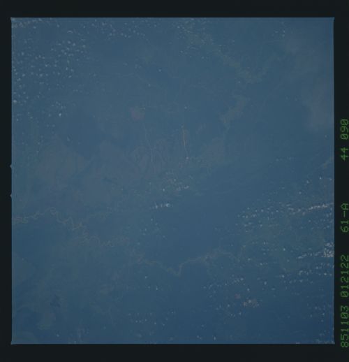
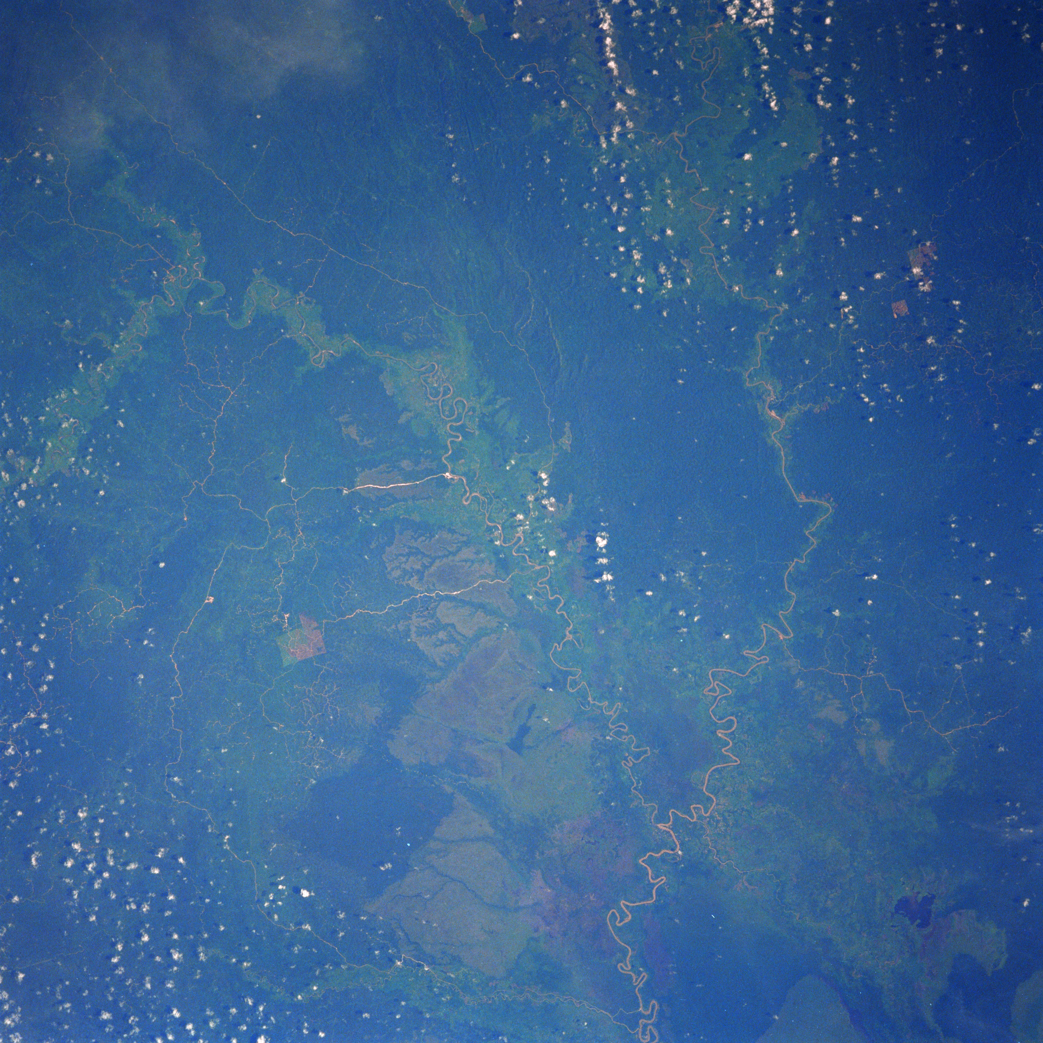
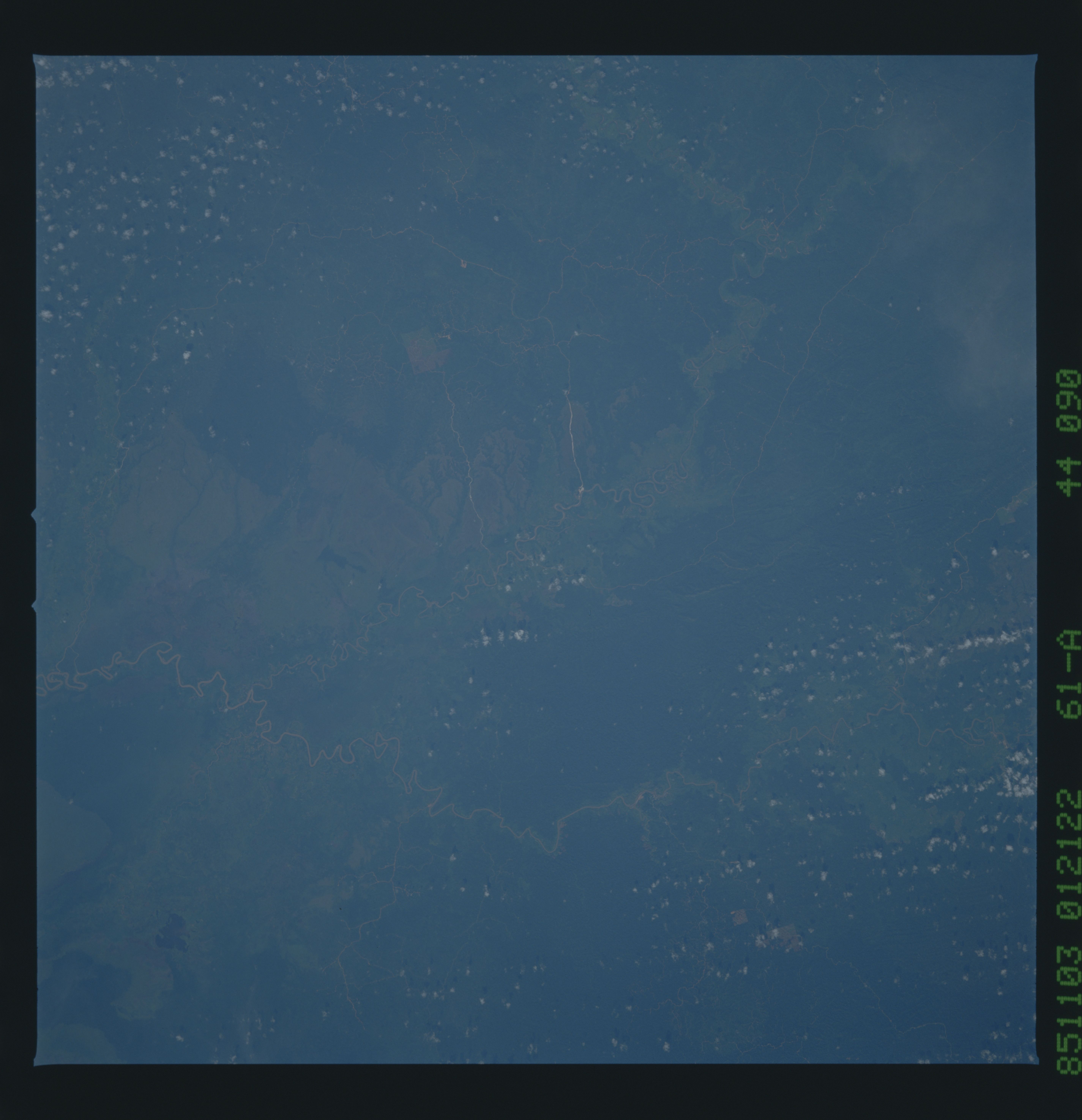
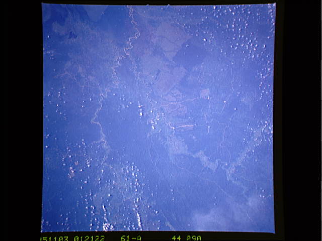
Image Caption: STS61A-44-0090 East Kalimantan, Indonesia November 1985
Located near the central east coast of East Kalimantan, this once totally tropical rainforest landscape (darker areas) now exhibits the impact of recent human development (lighter-colored areas). The lighter-colored corridors that have been cleared for agriculture tend to follow the severely meandering rivers (light-colored, linear features). Several roads can be traced across jungle-covered terrain, connecting developing agricultural sites and towns (also light-colored, linear features). The uniform-looking (color wise) vegetative cover (bottom center) appears to be the result of the development of large plantations. The confluence of the Marah River (more easterly) and Kindjau River can be seen near the bottom center (lower right quadrant). Almost the entire bottom third of the image is a flat, swampy area. A lake (dark feature) is visible near the bottom right corner of the image.
Located near the central east coast of East Kalimantan, this once totally tropical rainforest landscape (darker areas) now exhibits the impact of recent human development (lighter-colored areas). The lighter-colored corridors that have been cleared for agriculture tend to follow the severely meandering rivers (light-colored, linear features). Several roads can be traced across jungle-covered terrain, connecting developing agricultural sites and towns (also light-colored, linear features). The uniform-looking (color wise) vegetative cover (bottom center) appears to be the result of the development of large plantations. The confluence of the Marah River (more easterly) and Kindjau River can be seen near the bottom center (lower right quadrant). Almost the entire bottom third of the image is a flat, swampy area. A lake (dark feature) is visible near the bottom right corner of the image.
