STS61A-38-69
| NASA Photo ID | STS61A-38-69 |
| Focal Length | 100mm |
| Date taken | 1985.11.02 |
| Time taken | 01:03:34 GMT |

Cloud masks available for this image:
Spacecraft nadir point: 2.7° S, 124.5° E
Photo center point: 2.0° S, 121.0° E
Photo center point by machine learning:
Photo center point: 2.0° S, 121.0° E
Photo center point by machine learning:
Nadir to Photo Center: West
Spacecraft Altitude: 176 nautical miles (326km)
Country or Geographic Name: | INDONESIA |
Features: | SULAWESI |
| Features Found Using Machine Learning: | |
Cloud Cover Percentage: | 30 (26-50)% |
Sun Elevation Angle: | 53° |
Sun Azimuth: | 110° |
Camera: | Hasselblad |
Focal Length: | 100mm |
Camera Tilt: | 51 degrees |
Format: | 5017: Kodak, natural color positive, Ektachrome, X Professional, ASA 64, standard base |
Film Exposure: | Normal |
| Additional Information | |
| Width | Height | Annotated | Cropped | Purpose | Links |
|---|---|---|---|---|---|
| 5700 pixels | 5900 pixels | No | No | Download Image | |
| 500 pixels | 518 pixels | No | No | Download Image | |
| 640 pixels | 480 pixels | No | No | Download Image |
Download Packaged File
Download a Google Earth KML for this Image
View photo footprint information
Download a GeoTIFF for this photo
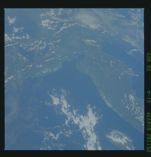
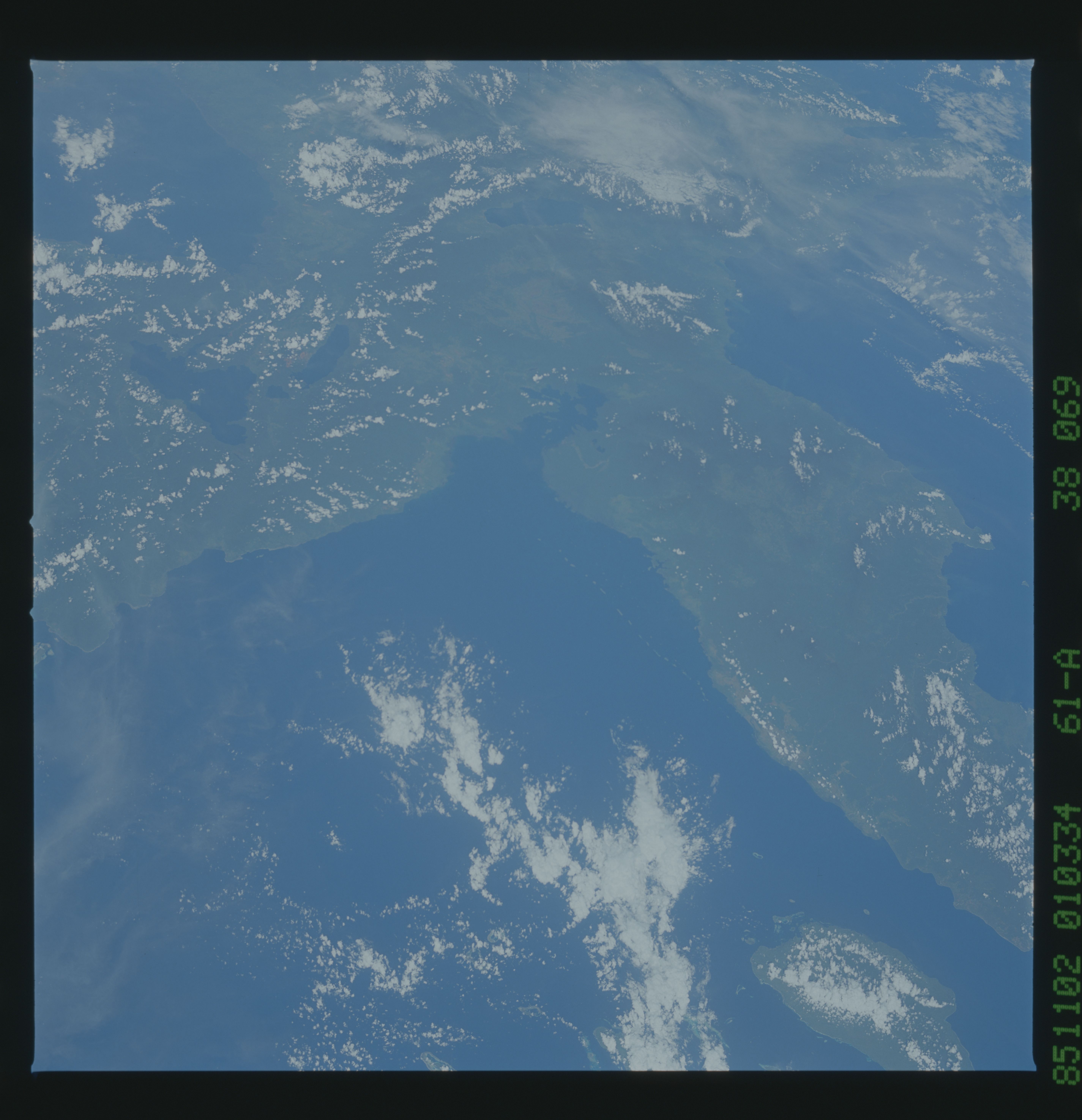
Image Caption:
Junction of East and Southeast Arms
The eastern half of Sulawesi comprises mostly ophiolites and de-
formed sedimentary and volcanic rocks. The eastern arm (1) is al-
most all ophiolite: rocks from old sections of ocean crust. The
weathering products of these rocks are red, nutrient-poor soils.
The thick stands of tropical rainforest seen in the western part
of the island cannot grow on these soils. Two large lakes, Townti
and Mantano Lakes (4) can be seen on the southeast arm (2). The
scars near Mantano Lake (4) are nickel mines. The approximate
trace of the Mantano fault, which splits from the Palu fault in
central Sulawesi is outlined at (3). (61A-38-69)
