STS61A-37-18
| NASA Photo ID | STS61A-37-18 |
| Focal Length | 250mm |
| Date taken | 1985.11.01 |
| Time taken | 00:37:54 GMT |
Resolutions offered for this image:
3872 x 3904 pixels 634 x 639 pixels 5700 x 5900 pixels 500 x 518 pixels 640 x 480 pixels
3872 x 3904 pixels 634 x 639 pixels 5700 x 5900 pixels 500 x 518 pixels 640 x 480 pixels
Cloud masks available for this image:
Spacecraft nadir point: 31.8° S, 114.7° E
Photo center point: 30.5° S, 116.5° E
Photo center point by machine learning:
Photo center point: 30.5° S, 116.5° E
Photo center point by machine learning:
Nadir to Photo Center: Northeast
Spacecraft Altitude: 179 nautical miles (332km)
Country or Geographic Name: | AUSTRALIA-WA |
Features: | LAKE HINDS |
| Features Found Using Machine Learning: | |
Cloud Cover Percentage: | 0 (no clouds present) |
Sun Elevation Angle: | 39° |
Sun Azimuth: | 82° |
Camera: | Hasselblad |
Focal Length: | 250mm |
Camera Tilt: | 37 degrees |
Format: | 5017: Kodak, natural color positive, Ektachrome, X Professional, ASA 64, standard base |
Film Exposure: | Normal |
| Additional Information | |
| Width | Height | Annotated | Cropped | Purpose | Links |
|---|---|---|---|---|---|
| 3872 pixels | 3904 pixels | No | No | Earth From Space collection | Download Image |
| 634 pixels | 639 pixels | No | No | Earth From Space collection | Download Image |
| 5700 pixels | 5900 pixels | No | No | Download Image | |
| 500 pixels | 518 pixels | No | No | Download Image | |
| 640 pixels | 480 pixels | No | No | Download Image |
Download Packaged File
Download a Google Earth KML for this Image
View photo footprint information
Download a GeoTIFF for this photo
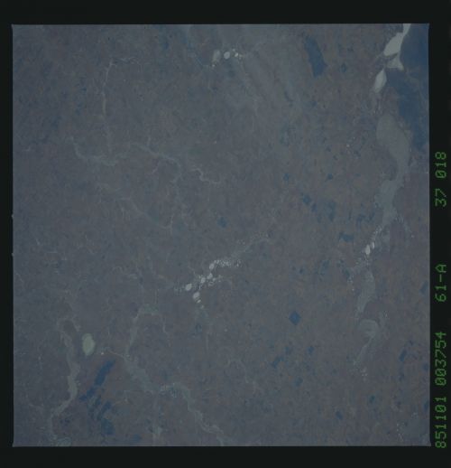
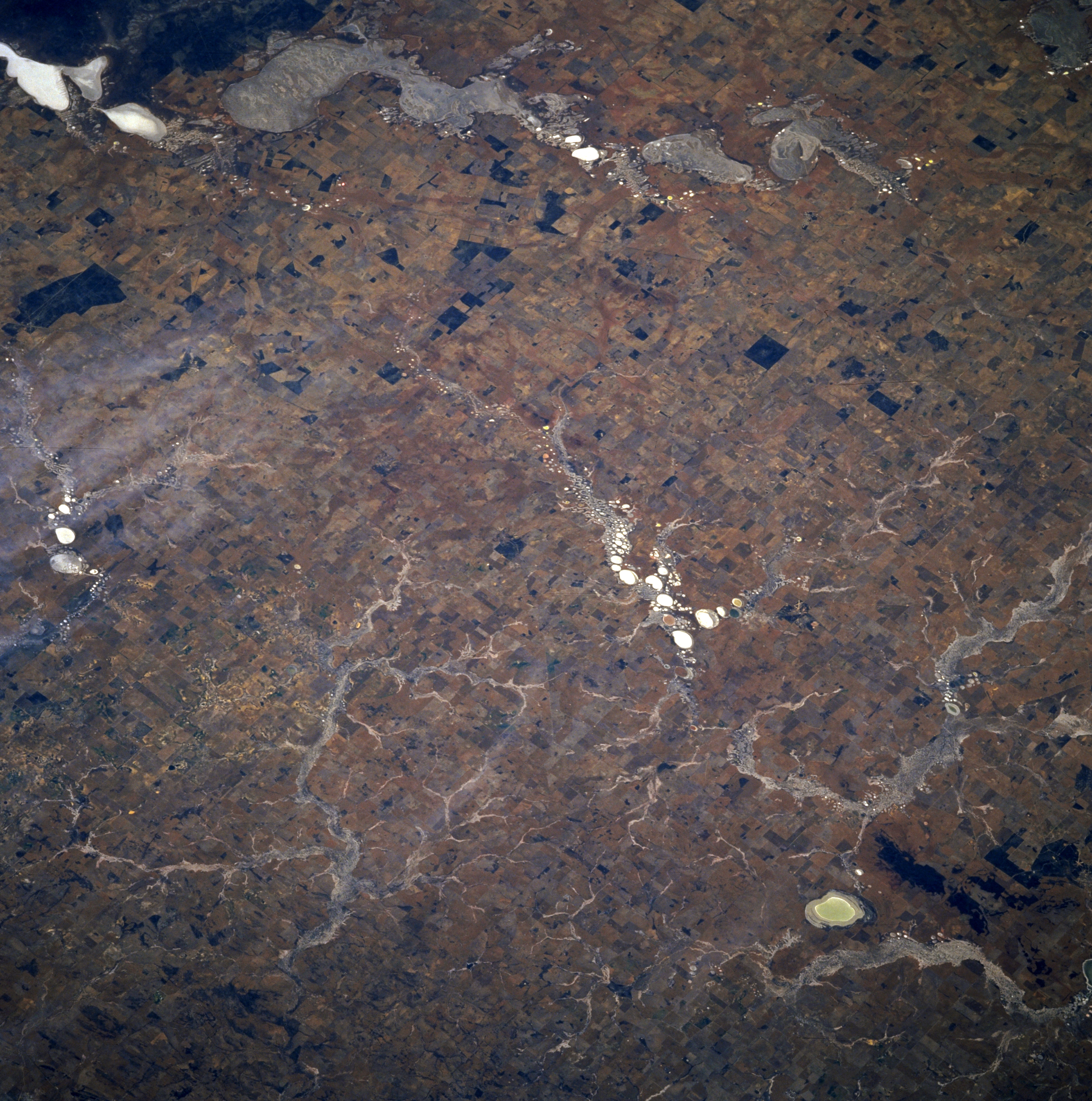
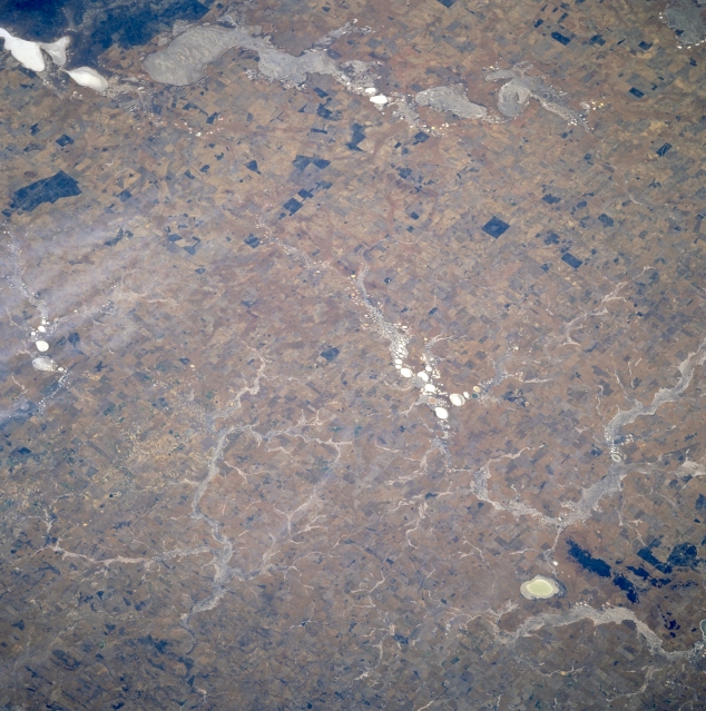
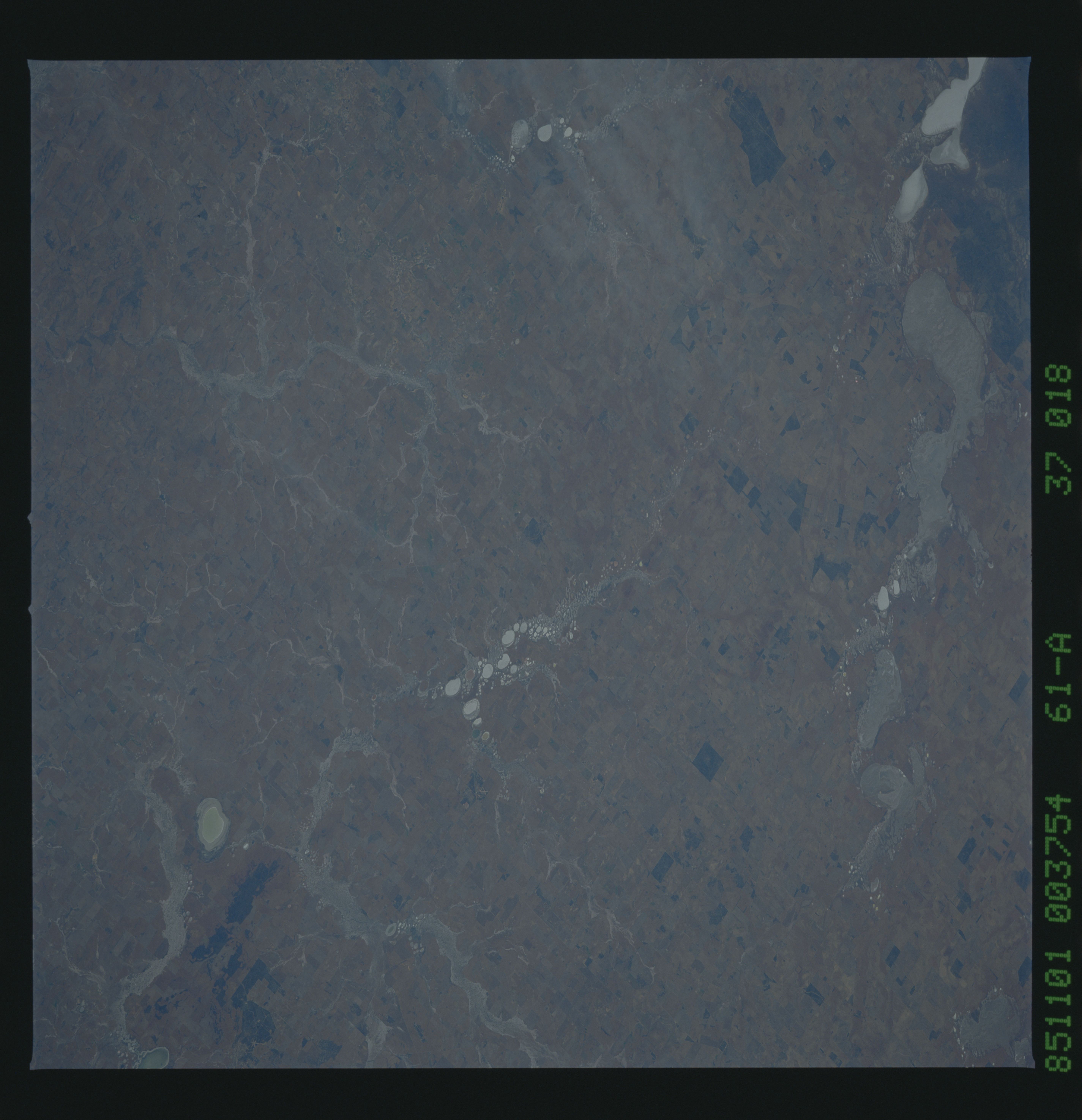
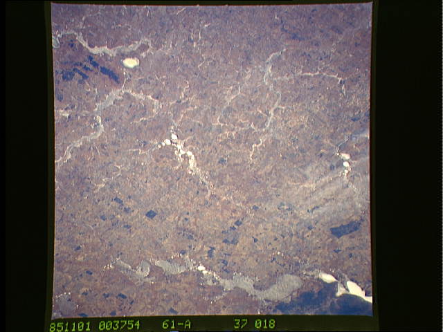
Image Caption: STS61A-37-0018 Hinds (Dry) Lake, Western Australia, Australia November 1985
Several different looking dry lake beds and ephemeral stream channels are visible throughout the scene in this semiarid region northeast of Perth in southwestern Western Australia. Lake Hinds, the small, oval-shaped, light colored feature near the lower right corner of the picture, helps to locate the many drainage patterns north, northeast of the lake. These drainage features display at least three different color schemes and shapes that include highly reflective, whitish-looking areas to more subtle, partially vegetated surfaces that tends to blend into the surrounding landscape. A string of several, small dry lakes (small, round white areas) is observed near the center of the picture. The regular rectangular patterns surrounding the rivers and lakes are probably irrigated fields patterns, where some type of dry land farming is being practiced.
Several different looking dry lake beds and ephemeral stream channels are visible throughout the scene in this semiarid region northeast of Perth in southwestern Western Australia. Lake Hinds, the small, oval-shaped, light colored feature near the lower right corner of the picture, helps to locate the many drainage patterns north, northeast of the lake. These drainage features display at least three different color schemes and shapes that include highly reflective, whitish-looking areas to more subtle, partially vegetated surfaces that tends to blend into the surrounding landscape. A string of several, small dry lakes (small, round white areas) is observed near the center of the picture. The regular rectangular patterns surrounding the rivers and lakes are probably irrigated fields patterns, where some type of dry land farming is being practiced.
