STS61A-34-25
| NASA Photo ID | STS61A-34-25 |
| Focal Length | 250mm |
| Date taken | 1985.10.31 |
| Time taken | 17:27:18 GMT |
Resolutions offered for this image:
3936 x 3904 pixels 639 x 634 pixels 5700 x 5900 pixels 500 x 518 pixels 640 x 480 pixels
3936 x 3904 pixels 639 x 634 pixels 5700 x 5900 pixels 500 x 518 pixels 640 x 480 pixels

Cloud masks available for this image:
Spacecraft nadir point: 46.0° N, 70.2° W
Photo center point: 46.0° N, 71.5° W
Photo center point by machine learning:
Photo center point: 46.0° N, 71.5° W
Photo center point by machine learning:
Nadir to Photo Center: West
Spacecraft Altitude: 181 nautical miles (335km)
Country or Geographic Name: | CANADA-Q |
Features: | LAKE SAINT FRANCIS |
| Features Found Using Machine Learning: | |
Cloud Cover Percentage: | 0 (no clouds present) |
Sun Elevation Angle: | 28° |
Sun Azimuth: | 197° |
Camera: | Hasselblad |
Focal Length: | 250mm |
Camera Tilt: | 23 degrees |
Format: | 5017: Kodak, natural color positive, Ektachrome, X Professional, ASA 64, standard base |
Film Exposure: | Normal |
| Additional Information | |
| Width | Height | Annotated | Cropped | Purpose | Links |
|---|---|---|---|---|---|
| 3936 pixels | 3904 pixels | No | No | Earth From Space collection | Download Image |
| 639 pixels | 634 pixels | No | No | Earth From Space collection | Download Image |
| 5700 pixels | 5900 pixels | No | No | Download Image | |
| 500 pixels | 518 pixels | No | No | Download Image | |
| 640 pixels | 480 pixels | No | No | Download Image |
Download Packaged File
Download a Google Earth KML for this Image
View photo footprint information
Download a GeoTIFF for this photo
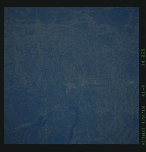
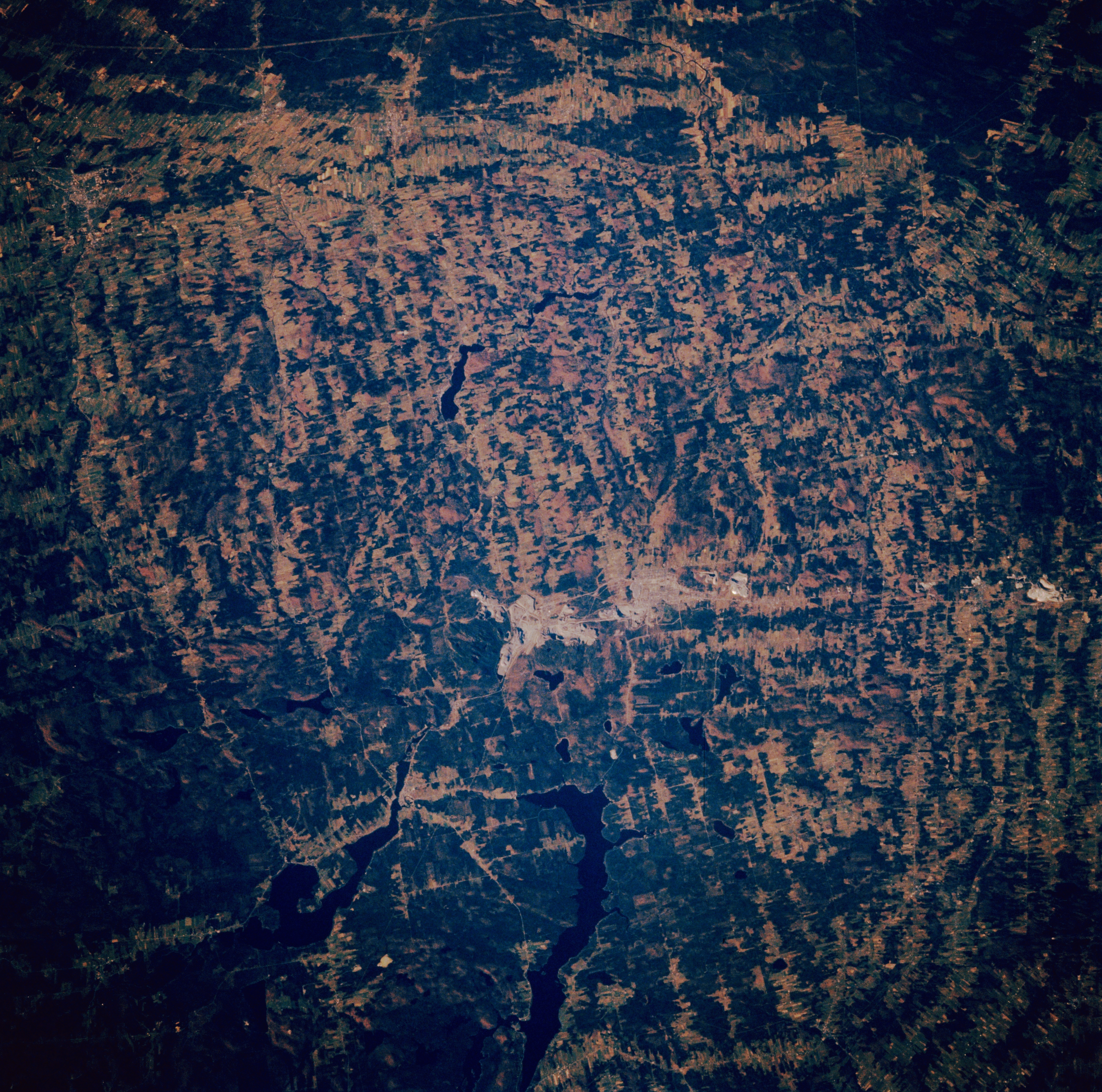
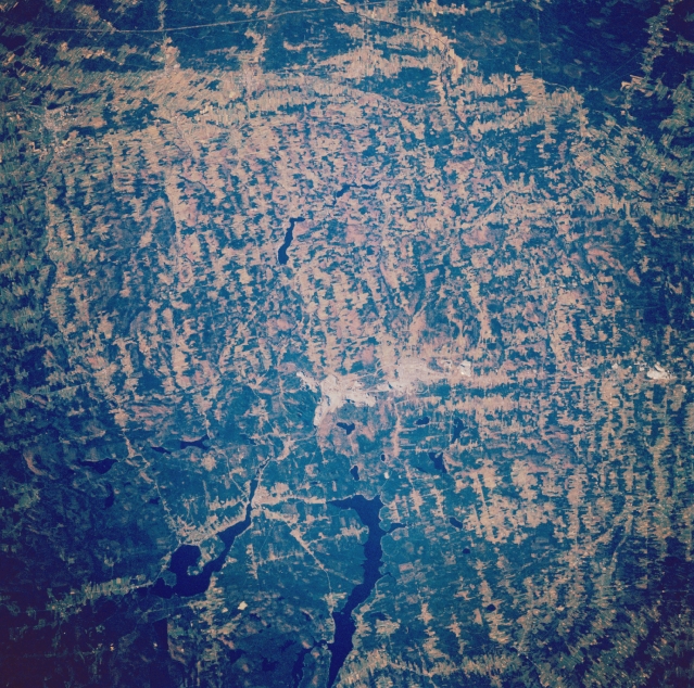
Image Caption: STS61A-34-0025 Lake St. Francis, Quebec, Canada November 1985
Located approximately 50 miles (80 kilometers) south of Quebec City, the Thetford Mines (a town and also the name given to the mining site) are visible in the center of the image (lighter color areas). These asbestos mines produce a large share of the world's supply. The lighter shaded areas within an otherwise forested landscape (darker areas) shows the extent to which the trees have been removed in this region either to expand available farm land or to furnish trees to the forestry industry. The elongated, dark feature (bottom center) is Lake St. Francis. Lake Aylmer (another dark feature--lower left) is southwest of the large lake. Lake Williams is the much smaller linear lake located north of the Thetford Mines site.
Located approximately 50 miles (80 kilometers) south of Quebec City, the Thetford Mines (a town and also the name given to the mining site) are visible in the center of the image (lighter color areas). These asbestos mines produce a large share of the world's supply. The lighter shaded areas within an otherwise forested landscape (darker areas) shows the extent to which the trees have been removed in this region either to expand available farm land or to furnish trees to the forestry industry. The elongated, dark feature (bottom center) is Lake St. Francis. Lake Aylmer (another dark feature--lower left) is southwest of the large lake. Lake Williams is the much smaller linear lake located north of the Thetford Mines site.
