STS51I-35-3

| NASA Photo ID | STS51I-35-3 |
| Focal Length | 100mm |
| Date taken | 1985.08.28 |
| Time taken | 13:36:39 GMT |
Resolutions offered for this image:
3923 x 3940 pixels 637 x 639 pixels 5700 x 5900 pixels 500 x 518 pixels 640 x 480 pixels
3923 x 3940 pixels 637 x 639 pixels 5700 x 5900 pixels 500 x 518 pixels 640 x 480 pixels
Cloud masks available for this image:
Spacecraft nadir point: 20.3° S, 15.2° E
Photo center point: 25.0° S, 15.5° E
Photo center point by machine learning:
Photo center point: 25.0° S, 15.5° E
Photo center point by machine learning:
Nadir to Photo Center: South
Spacecraft Altitude: 191 nautical miles (354km)
Country or Geographic Name: | NAMIBIA |
Features: | NAMIB DESERT |
| Features Found Using Machine Learning: | |
Cloud Cover Percentage: | 10 (1-10)% |
Sun Elevation Angle: | 41° |
Sun Azimuth: | 304° |
Camera: | Hasselblad |
Focal Length: | 100mm |
Camera Tilt: | Low Oblique |
Format: | 5017: Kodak, natural color positive, Ektachrome, X Professional, ASA 64, standard base |
Film Exposure: | Normal |
| Additional Information | |
| Width | Height | Annotated | Cropped | Purpose | Links |
|---|---|---|---|---|---|
| 3923 pixels | 3940 pixels | No | No | Earth From Space collection | Download Image |
| 637 pixels | 639 pixels | No | No | Earth From Space collection | Download Image |
| 5700 pixels | 5900 pixels | No | No | Download Image | |
| 500 pixels | 518 pixels | No | No | Download Image | |
| 640 pixels | 480 pixels | No | No | Download Image |
Download Packaged File
Download a Google Earth KML for this Image
View photo footprint information
Download a GeoTIFF for this photo
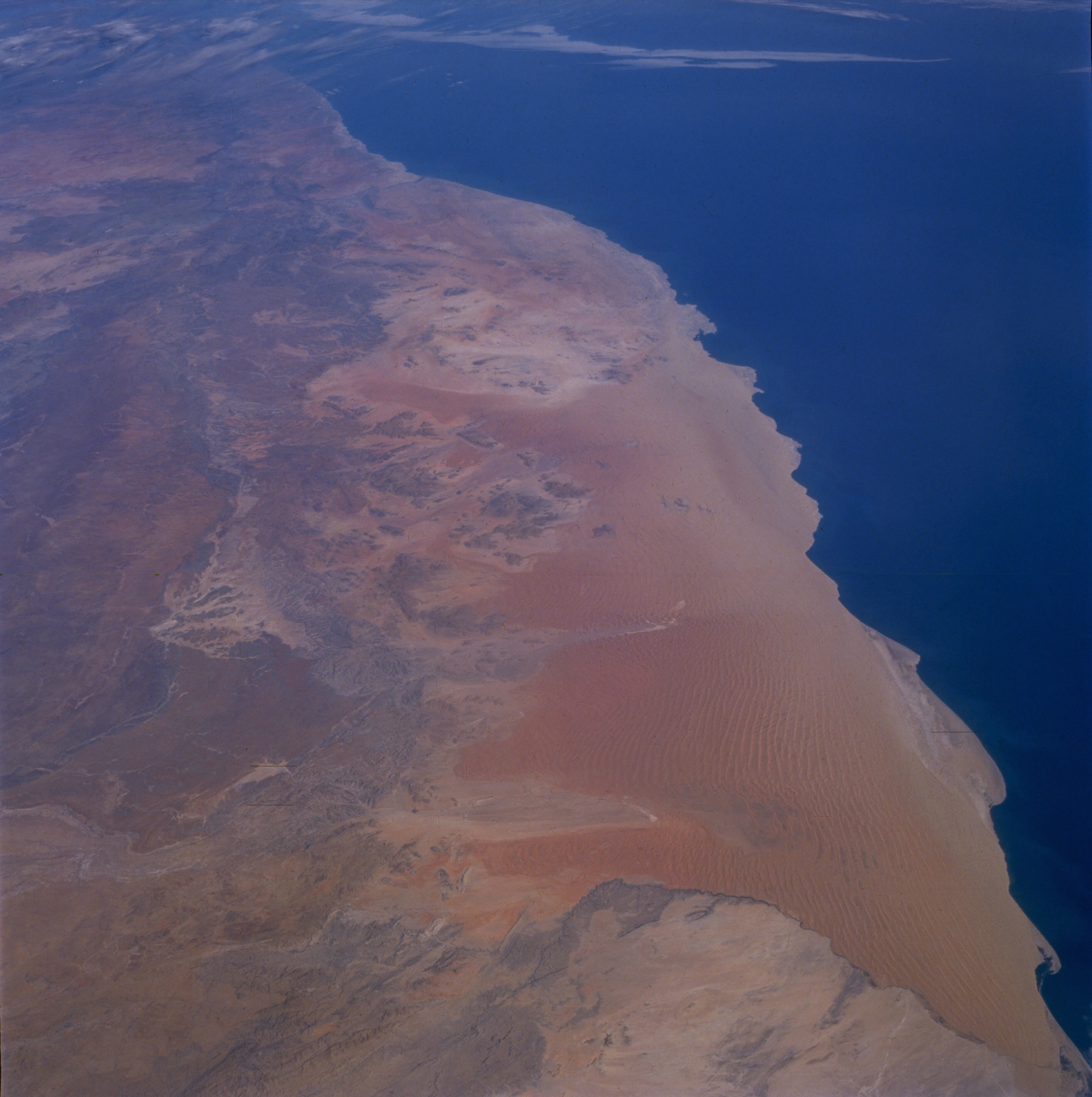
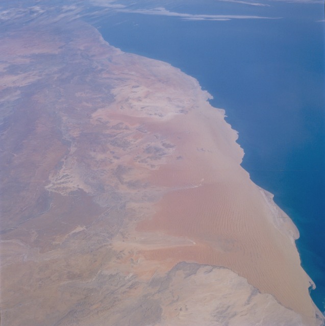
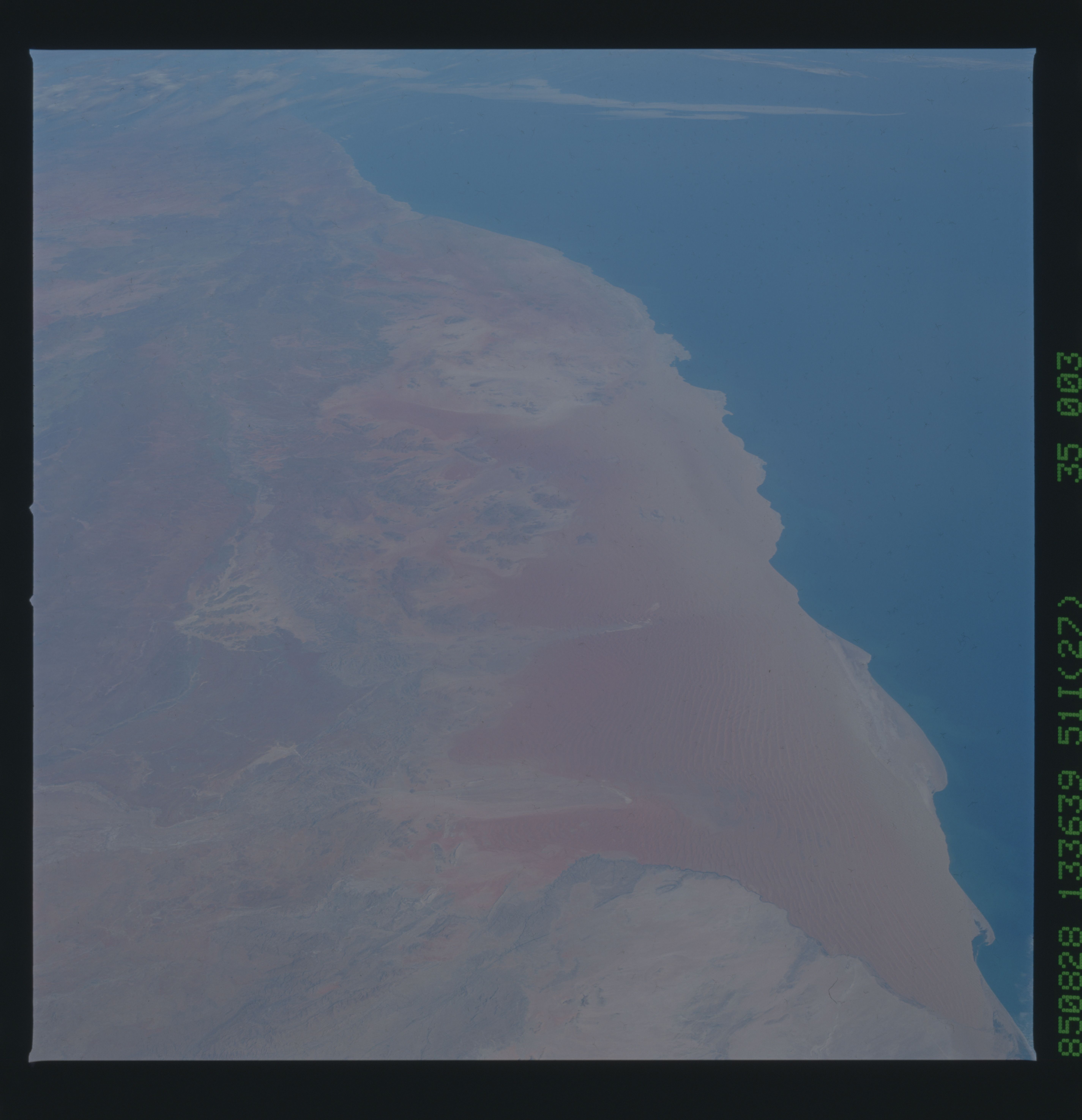
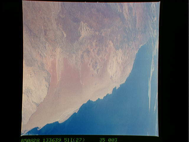
Image Caption: STS51I-35-0003 Namib Desert, Namibia September 1985
The Namib Desert, for which the country of Namibia is named, is a classic example of a coastal desert along the southwestern side of a Southern Hemisphere continent. With a cold ocean current offshore, practically no natural conditions exist to produce any form of precipitation. Low, ground-hugging stratus clouds (fog) sometimes develop along the shoreline. When the fog moves onshore, it can provide the only form of moisture that parts of the Namib Desert receive for decades. This south-looking photograph shows two different physiographic provinces: a sand desert immediately adjacent to the Atlantic Ocean and a more diversified area of rocks and low hills inland. The sandy desert along the coast (known as the Skeleton Coast because it is part of the Namibia and Angola coastlines where numerous shipwrecks occurred during the last few centuries) consists of transverse dunes. A series of sand dunes parallel to one another was created by the wind blowing at right angles to the ridges. The windward (western) face has a more gentle slope, and the leeward (eastern) face tends to be steeper. The vertical distance between crest and trough can exceed 300 feet (90 meters). The entire region is so dry that no permanent watercourse flows from the higher elevations in the east to the Atlantic Ocean in the west.
The Namib Desert, for which the country of Namibia is named, is a classic example of a coastal desert along the southwestern side of a Southern Hemisphere continent. With a cold ocean current offshore, practically no natural conditions exist to produce any form of precipitation. Low, ground-hugging stratus clouds (fog) sometimes develop along the shoreline. When the fog moves onshore, it can provide the only form of moisture that parts of the Namib Desert receive for decades. This south-looking photograph shows two different physiographic provinces: a sand desert immediately adjacent to the Atlantic Ocean and a more diversified area of rocks and low hills inland. The sandy desert along the coast (known as the Skeleton Coast because it is part of the Namibia and Angola coastlines where numerous shipwrecks occurred during the last few centuries) consists of transverse dunes. A series of sand dunes parallel to one another was created by the wind blowing at right angles to the ridges. The windward (western) face has a more gentle slope, and the leeward (eastern) face tends to be steeper. The vertical distance between crest and trough can exceed 300 feet (90 meters). The entire region is so dry that no permanent watercourse flows from the higher elevations in the east to the Atlantic Ocean in the west.
