STS51G-46-1
| NASA Photo ID | STS51G-46-1 |
| Focal Length | 100mm |
| Date taken | 1985.06.19 |
| Time taken | 08:13:41 GMT |
Resolutions offered for this image:
5276 x 5276 pixels 640 x 640 pixels 5700 x 5900 pixels 500 x 518 pixels 640 x 480 pixels
5276 x 5276 pixels 640 x 640 pixels 5700 x 5900 pixels 500 x 518 pixels 640 x 480 pixels
Cloud masks available for this image:
Spacecraft nadir point: 7.2° N, 33.1° E
Photo center point: 7.1° N, 31.1° E
Photo center point by machine learning:
Photo center point: 7.1° N, 31.1° E
Photo center point by machine learning:
Nadir to Photo Center: West
Spacecraft Altitude: 197 nautical miles (365km)
Country or Geographic Name: | SUDAN |
Features: | AL BAHR AL ABYAD, NILE R |
| Features Found Using Machine Learning: | |
Cloud Cover Percentage: | 5 (1-10)% |
Sun Elevation Angle: | 62° |
Sun Azimuth: | 51° |
Camera: | Hasselblad |
Focal Length: | 100mm |
Camera Tilt: | 31 degrees |
Format: | 5017: Kodak, natural color positive, Ektachrome, X Professional, ASA 64, standard base |
Film Exposure: | Under Exposed |
| Additional Information | |
| Width | Height | Annotated | Cropped | Purpose | Links |
|---|---|---|---|---|---|
| 5276 pixels | 5276 pixels | No | No | Earth From Space collection | Download Image |
| 640 pixels | 640 pixels | No | No | Earth From Space collection | Download Image |
| 5700 pixels | 5900 pixels | No | No | Download Image | |
| 500 pixels | 518 pixels | No | No | Download Image | |
| 640 pixels | 480 pixels | No | No | Download Image |
Download Packaged File
Download a Google Earth KML for this Image
View photo footprint information
Download a GeoTIFF for this photo
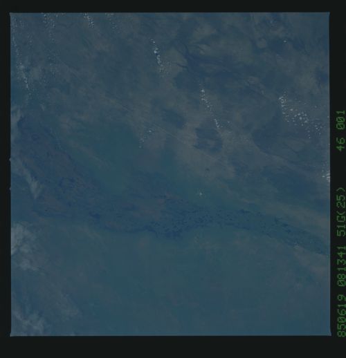
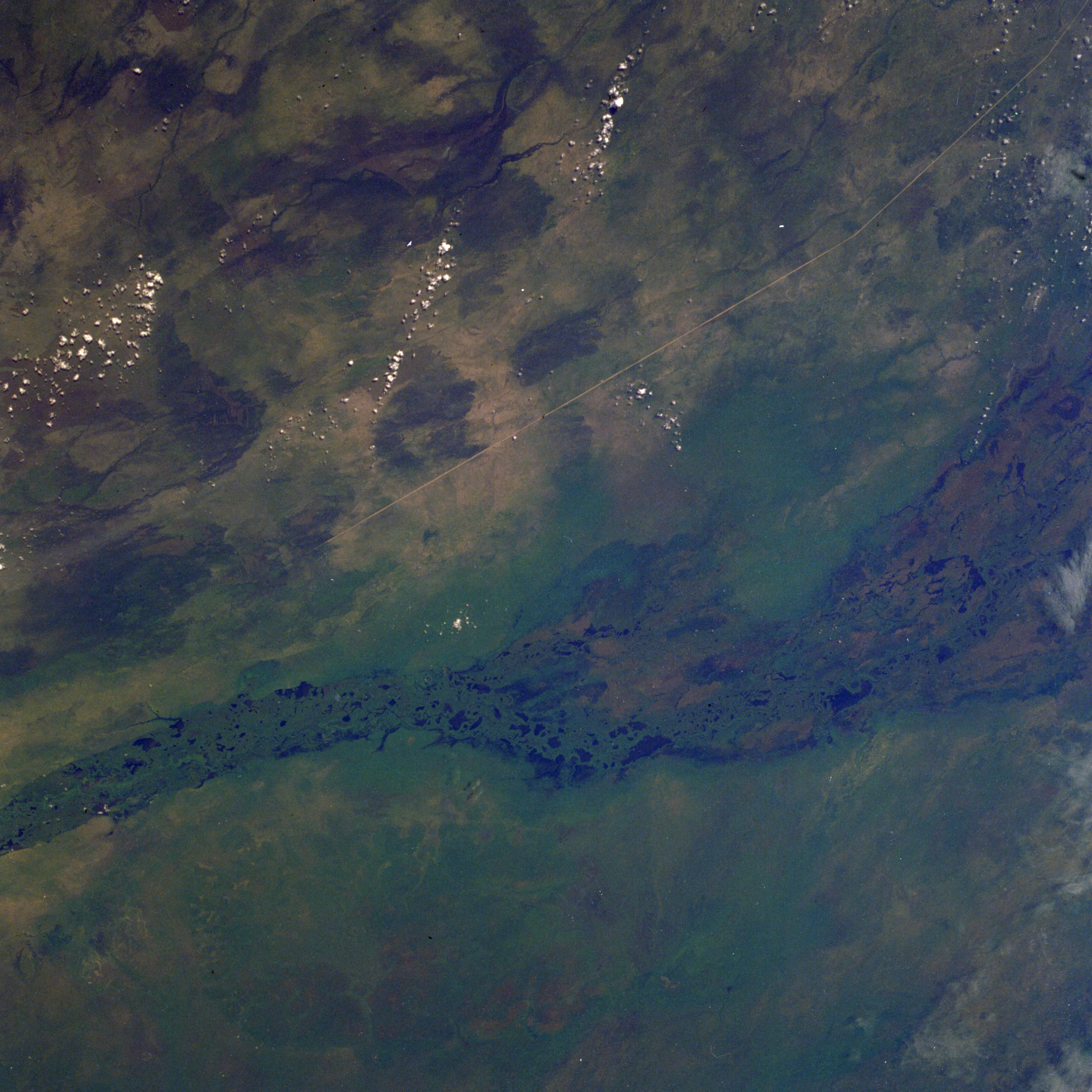
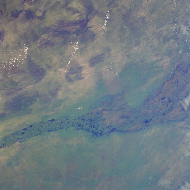
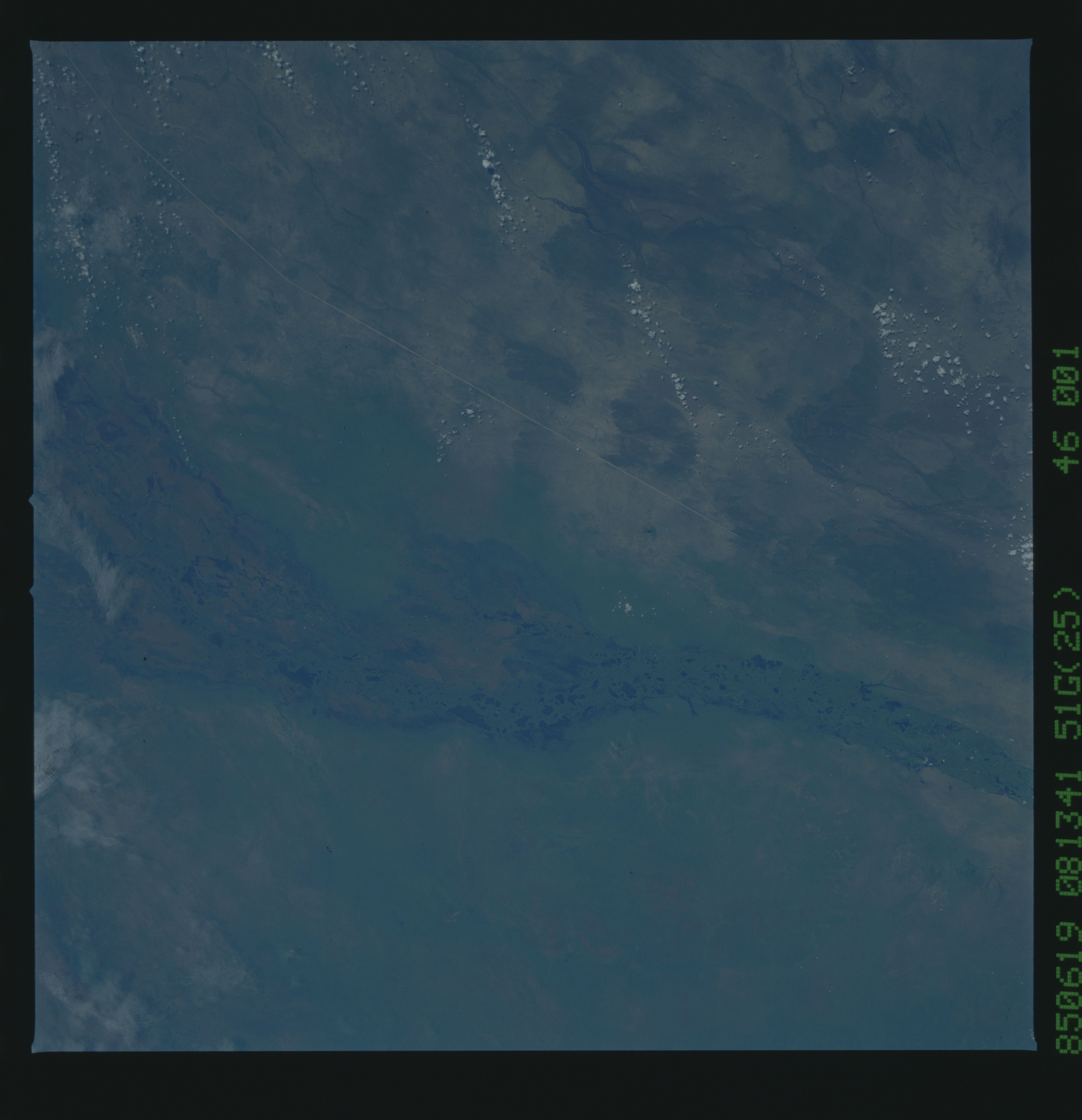
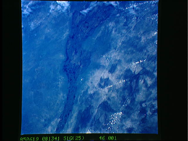
Image Caption: STS51G-046-0001 Sudd Swamp, Sudan June 1985
The Sudd Swamp, a huge environmentally sensitive wetlands area of south-central Sudan, is seen in this photograph that shows only a part of the snarl of lakes, channels, and marshes that covers the region. The Sudd's areal extent varies from approximately 6370 square miles (16 500 square kilometers) in the dry winter season to 12 350 square miles (32 000 square kilometers) during the summer rains. The western branch of the Nile River, the White Nile, provides most of the water for this region. Initially, the word "sudd" was used to describe the great mass of floating, swampy vegetation that covers this region and tends to choke the waterflow through the main channel of the White Nile. The vegetation does function as a stabilizing influence on the rate of waterflow through the swamp. Two major features are visible--the natural attribute is the main channel of the north-flowing White Nile, which can be seen despite the lush, green vegetation that obscures most of the water surface of the river, and the manmade structure is the Jonglei Canal, which is linear, highly reflective, and aligned north-south. The canal is approximately 210 feet (65 meters) wide and has an average depth of 16 feet (5 meters). During the last two decades, the Jonglei Canal has become a controversial engineering project in this part of Africa--to the extent that a civil war curtailed its completion. The purpose for the canal was to help regulate the seasonal fluctuations in this segment of the White Nile and to drain part of the Sudd for agricultural development. Environmentalists and the local farmers proclaim that the construction of the Jonglei Canal upsets the natural rhythm of plants and animals whose migration cycles are impeded by the barrier the canal creates.
The Sudd Swamp, a huge environmentally sensitive wetlands area of south-central Sudan, is seen in this photograph that shows only a part of the snarl of lakes, channels, and marshes that covers the region. The Sudd's areal extent varies from approximately 6370 square miles (16 500 square kilometers) in the dry winter season to 12 350 square miles (32 000 square kilometers) during the summer rains. The western branch of the Nile River, the White Nile, provides most of the water for this region. Initially, the word "sudd" was used to describe the great mass of floating, swampy vegetation that covers this region and tends to choke the waterflow through the main channel of the White Nile. The vegetation does function as a stabilizing influence on the rate of waterflow through the swamp. Two major features are visible--the natural attribute is the main channel of the north-flowing White Nile, which can be seen despite the lush, green vegetation that obscures most of the water surface of the river, and the manmade structure is the Jonglei Canal, which is linear, highly reflective, and aligned north-south. The canal is approximately 210 feet (65 meters) wide and has an average depth of 16 feet (5 meters). During the last two decades, the Jonglei Canal has become a controversial engineering project in this part of Africa--to the extent that a civil war curtailed its completion. The purpose for the canal was to help regulate the seasonal fluctuations in this segment of the White Nile and to drain part of the Sudd for agricultural development. Environmentalists and the local farmers proclaim that the construction of the Jonglei Canal upsets the natural rhythm of plants and animals whose migration cycles are impeded by the barrier the canal creates.
