STS51G-34-12

| NASA Photo ID | STS51G-34-12 |
| Focal Length | 100mm |
| Date taken | 1985.06.18 |
| Time taken | 10:57:02 GMT |
Resolutions offered for this image:
5266 x 5266 pixels 639 x 639 pixels 5700 x 5900 pixels 500 x 518 pixels 640 x 480 pixels
5266 x 5266 pixels 639 x 639 pixels 5700 x 5900 pixels 500 x 518 pixels 640 x 480 pixels
Cloud masks available for this image:
Spacecraft nadir point: 5.8° S, 23.8° E
Photo center point: 6.6° S, 29.5° E
Photo center point by machine learning:
Photo center point: 6.6° S, 29.5° E
Photo center point by machine learning:
Nadir to Photo Center: East
Spacecraft Altitude: 193 nautical miles (357km)
Country or Geographic Name: | DEM. REP. OF CONGO |
Features: | LAKE TANGANYIKA |
| Features Found Using Machine Learning: | |
Cloud Cover Percentage: | 40 (26-50)% |
Sun Elevation Angle: | 59° |
Sun Azimuth: | 345° |
Camera: | Hasselblad |
Focal Length: | 100mm |
Camera Tilt: | High Oblique |
Format: | 5017: Kodak, natural color positive, Ektachrome, X Professional, ASA 64, standard base |
Film Exposure: | Under Exposed |
| Additional Information | |
| Width | Height | Annotated | Cropped | Purpose | Links |
|---|---|---|---|---|---|
| 5266 pixels | 5266 pixels | No | No | Earth From Space collection | Download Image |
| 639 pixels | 639 pixels | No | No | Earth From Space collection | Download Image |
| 5700 pixels | 5900 pixels | No | No | Download Image | |
| 500 pixels | 518 pixels | No | No | Download Image | |
| 640 pixels | 480 pixels | No | No | Download Image |
Download Packaged File
Download a Google Earth KML for this Image
View photo footprint information
Download a GeoTIFF for this photo
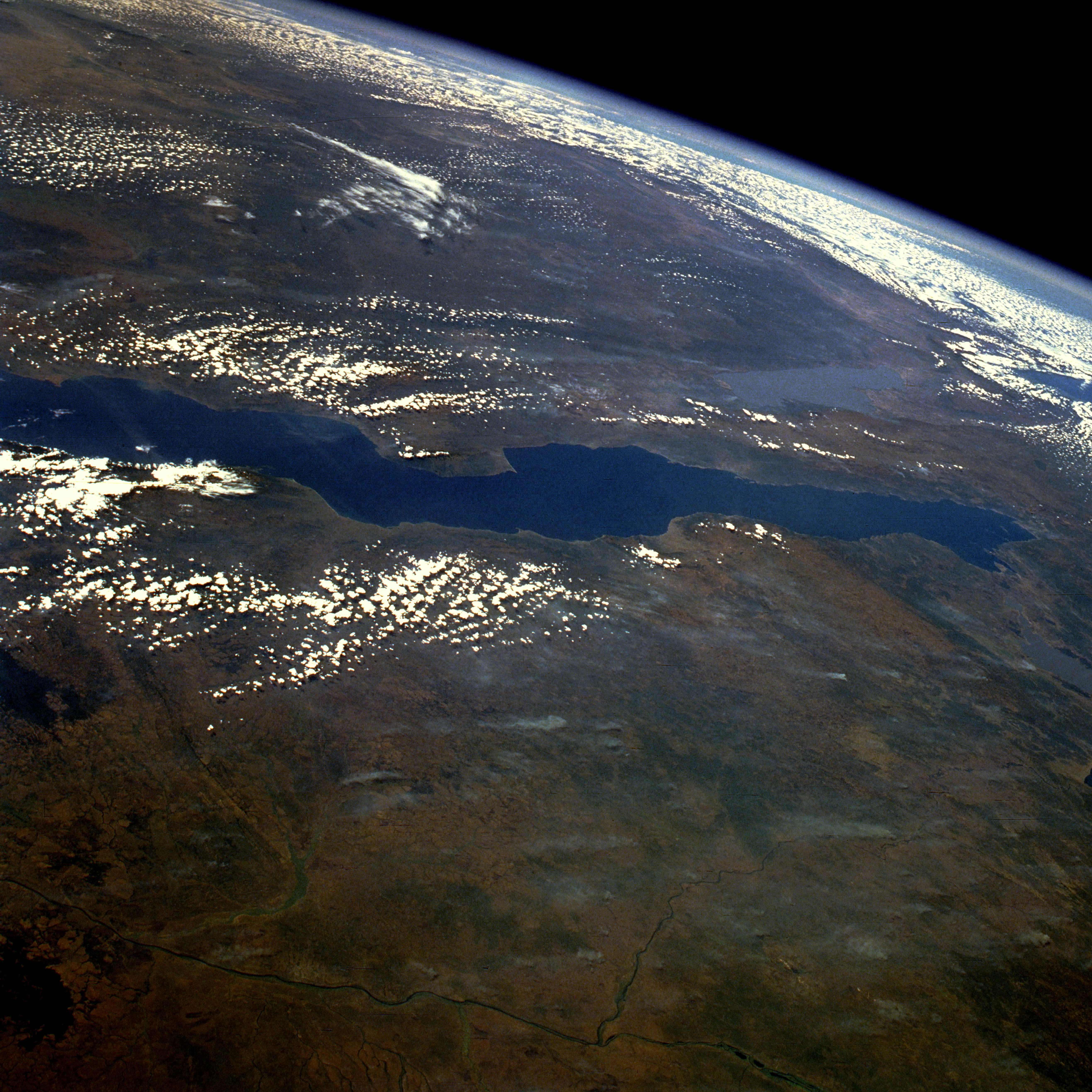
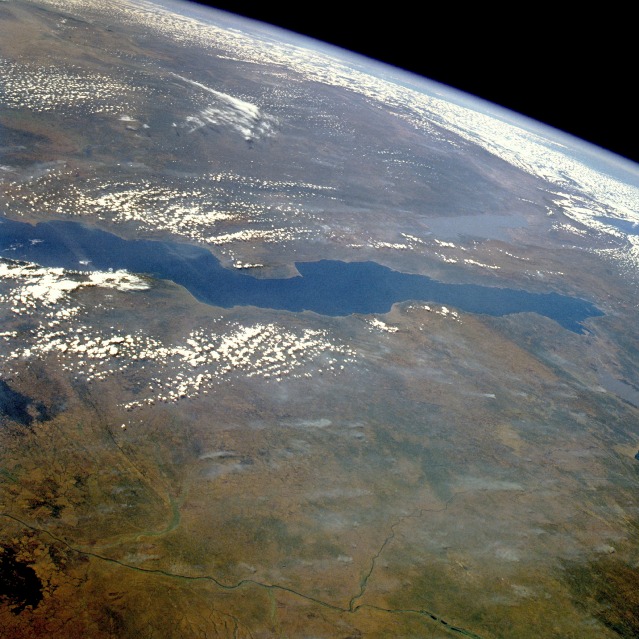
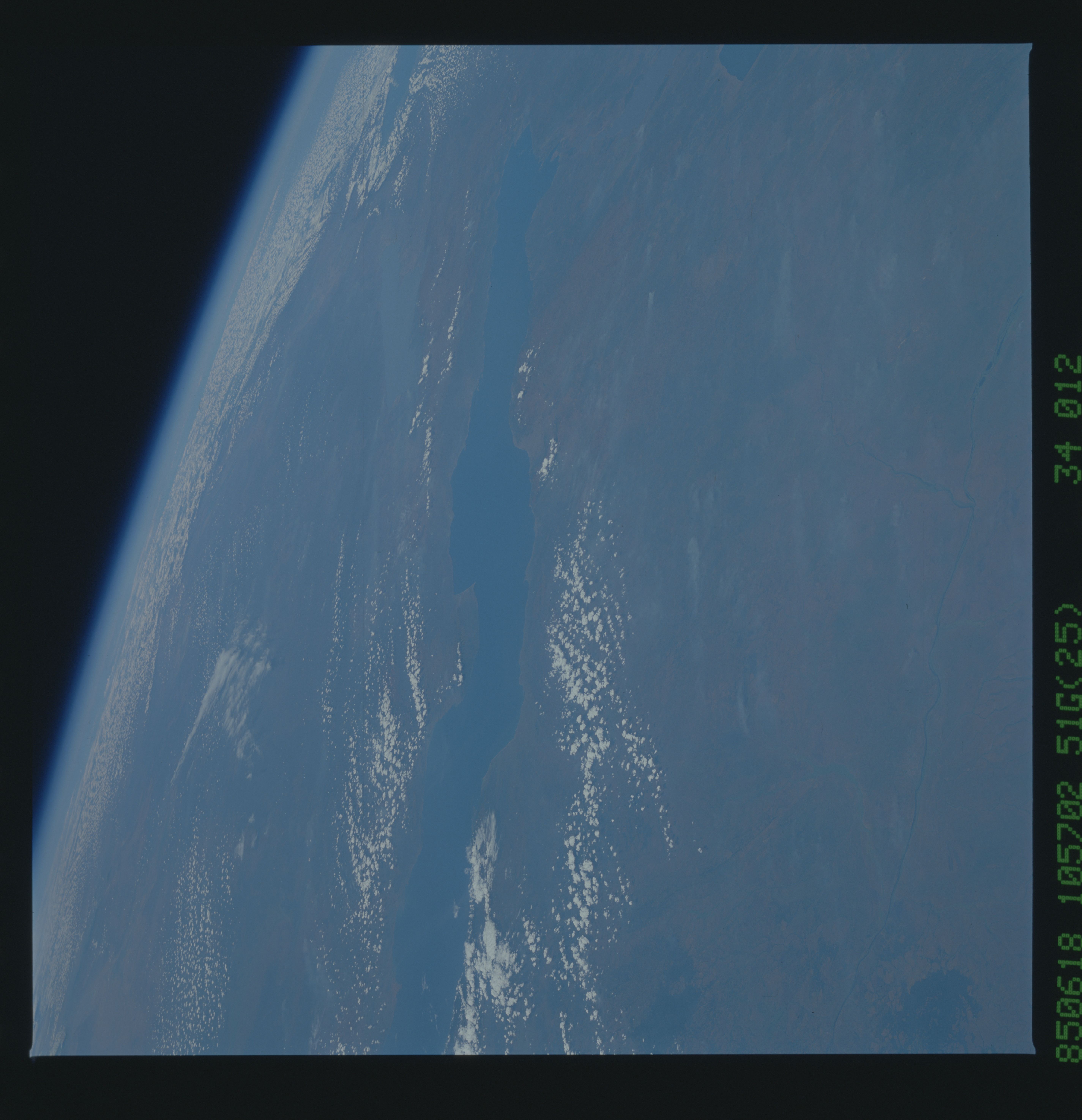
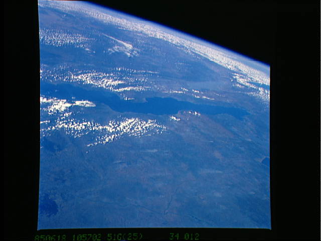
Image Caption: STS51G-034-0012 Lake Tanganyika, Tanzania, Zaire, and Zambia June 1985
This east-looking, high-oblique photograph features Lake Tanganyika--the second deepest freshwater lake in the world with a maximum depth of 4710 feet (1436 meters) and the longest lake in the world, stretching 410 miles (660 kilometers) north to south. Its width varies between 10 and 45 miles (16 and 72 kilometers). The lake, bordered on either side by steep slopes, fills a long narrow trough in the western arm of Africa's Great Rift Valley and supports a thriving fishing industry. The lake basin, a landform in which a block of the Earth's crust dropped down between blocks that rise on either side, began to form nearly 25 million years ago as part of the Great Rift Valley. On the lake's west shore is Tanganyika's sole outlet, the Lukuga River, which is a tributary of the Zaire River (northwest portion of photograph). The Zaire River flows westward and empties into the Atlantic Ocean. Other features in the photograph are shallow, silt-laden Lake Rukwa to the east of the lake and the extreme northern tip of Lake Nyasa near the southeast horizon.
This east-looking, high-oblique photograph features Lake Tanganyika--the second deepest freshwater lake in the world with a maximum depth of 4710 feet (1436 meters) and the longest lake in the world, stretching 410 miles (660 kilometers) north to south. Its width varies between 10 and 45 miles (16 and 72 kilometers). The lake, bordered on either side by steep slopes, fills a long narrow trough in the western arm of Africa's Great Rift Valley and supports a thriving fishing industry. The lake basin, a landform in which a block of the Earth's crust dropped down between blocks that rise on either side, began to form nearly 25 million years ago as part of the Great Rift Valley. On the lake's west shore is Tanganyika's sole outlet, the Lukuga River, which is a tributary of the Zaire River (northwest portion of photograph). The Zaire River flows westward and empties into the Atlantic Ocean. Other features in the photograph are shallow, silt-laden Lake Rukwa to the east of the lake and the extreme northern tip of Lake Nyasa near the southeast horizon.
