STS51D-34-51
| NASA Photo ID | STS51D-34-51 |
| Focal Length | 250mm |
| Date taken | 1985.04.17 |
| Time taken | 05:09:13 GMT |
Cloud masks available for this image:
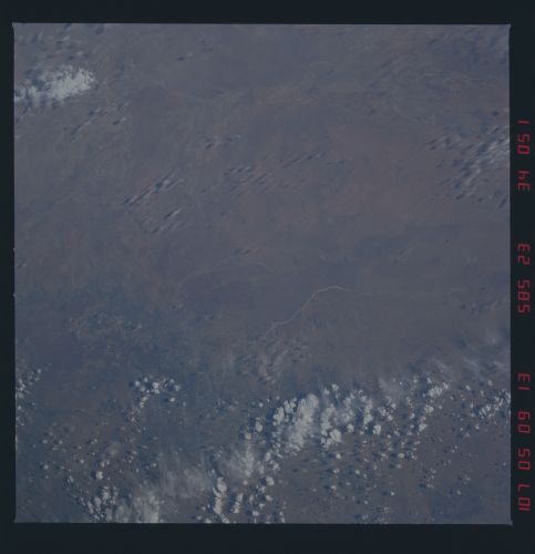
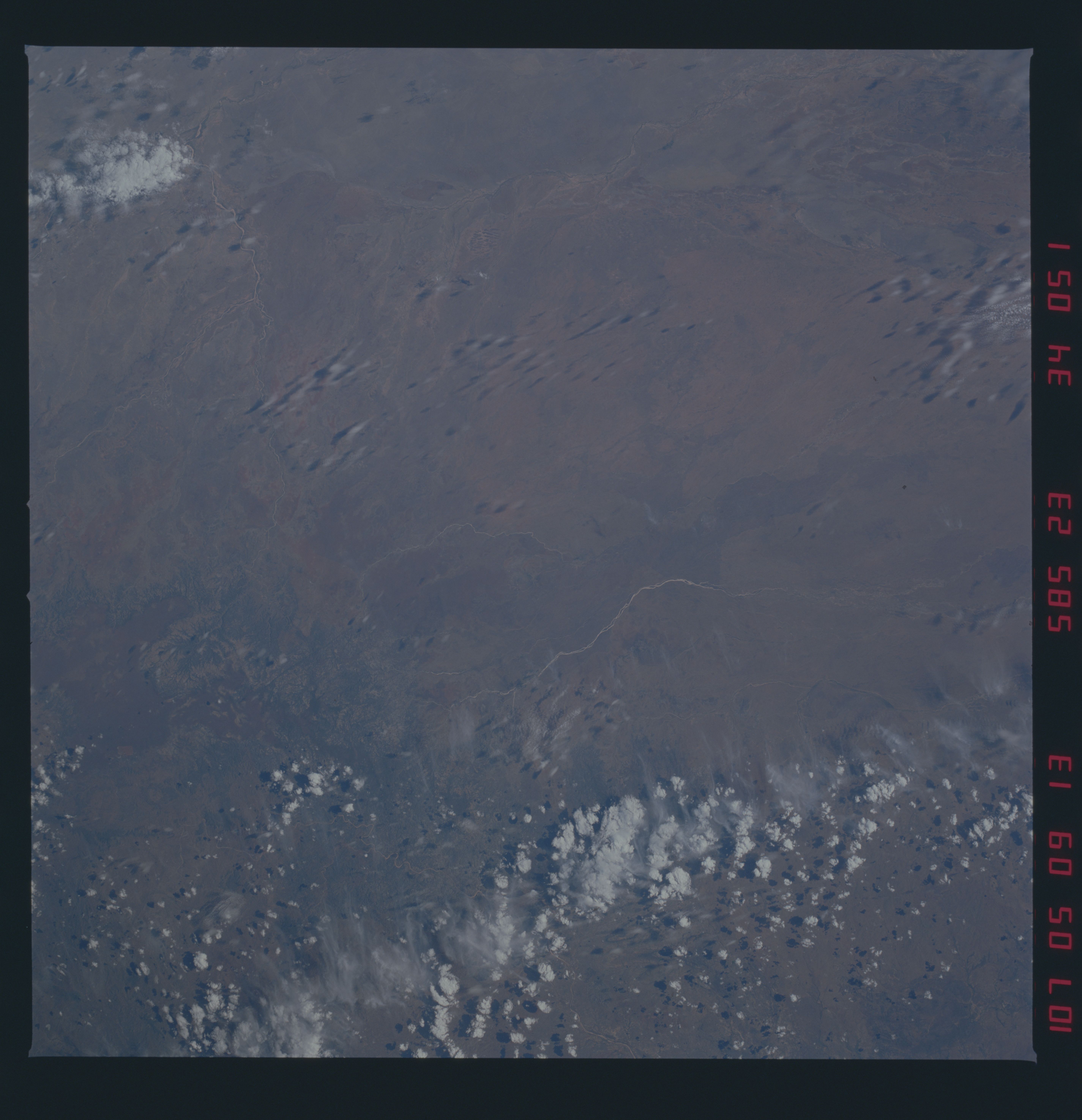
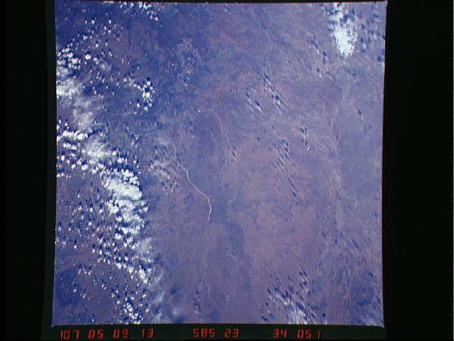
Spacecraft nadir point: 18.7° S, 142.9° E
Photo center point: 19.5° S, 143.0° E
Photo center point by machine learning:
Photo center point: 19.5° S, 143.0° E
Photo center point by machine learning:
Nadir to Photo Center: South
Spacecraft Altitude: 219 nautical miles (406km)
Country or Geographic Name: | AUSTRALIA-Q |
Features: | GREGORY RANGE/RIVERS |
| Features Found Using Machine Learning: | |
Cloud Cover Percentage: | 20 (11-25)% |
Sun Elevation Angle: | 40° |
Sun Azimuth: | 302° |
Camera: | Hasselblad |
Focal Length: | 250mm |
Camera Tilt: | 12 degrees |
Format: | 5017: Kodak, natural color positive, Ektachrome, X Professional, ASA 64, standard base |
Film Exposure: | Normal |
| Additional Information | |
| Width | Height | Annotated | Cropped | Purpose | Links |
|---|---|---|---|---|---|
| 5700 pixels | 5900 pixels | No | No | Download Image | |
| 483 pixels | 500 pixels | No | No | Download Image | |
| 640 pixels | 480 pixels | No | No | Download Image |
Download Packaged File
Download a Google Earth KML for this Image
View photo footprint information
Download a GeoTIFF for this photo
Image Caption: none
