STS51D-32-57
| NASA Photo ID | STS51D-32-57 |
| Focal Length | 100mm |
| Date taken | 1985.04.14 |
| Time taken | 12:22:30 GMT |
Cloud masks available for this image:
Spacecraft nadir point: 13.0° N, 6.7° W
Photo center point: 11.5° N, 8.0° W
Photo center point by machine learning:
Photo center point: 11.5° N, 8.0° W
Photo center point by machine learning:
Nadir to Photo Center: Southwest
Spacecraft Altitude: 190 nautical miles (352km)
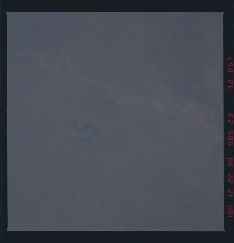
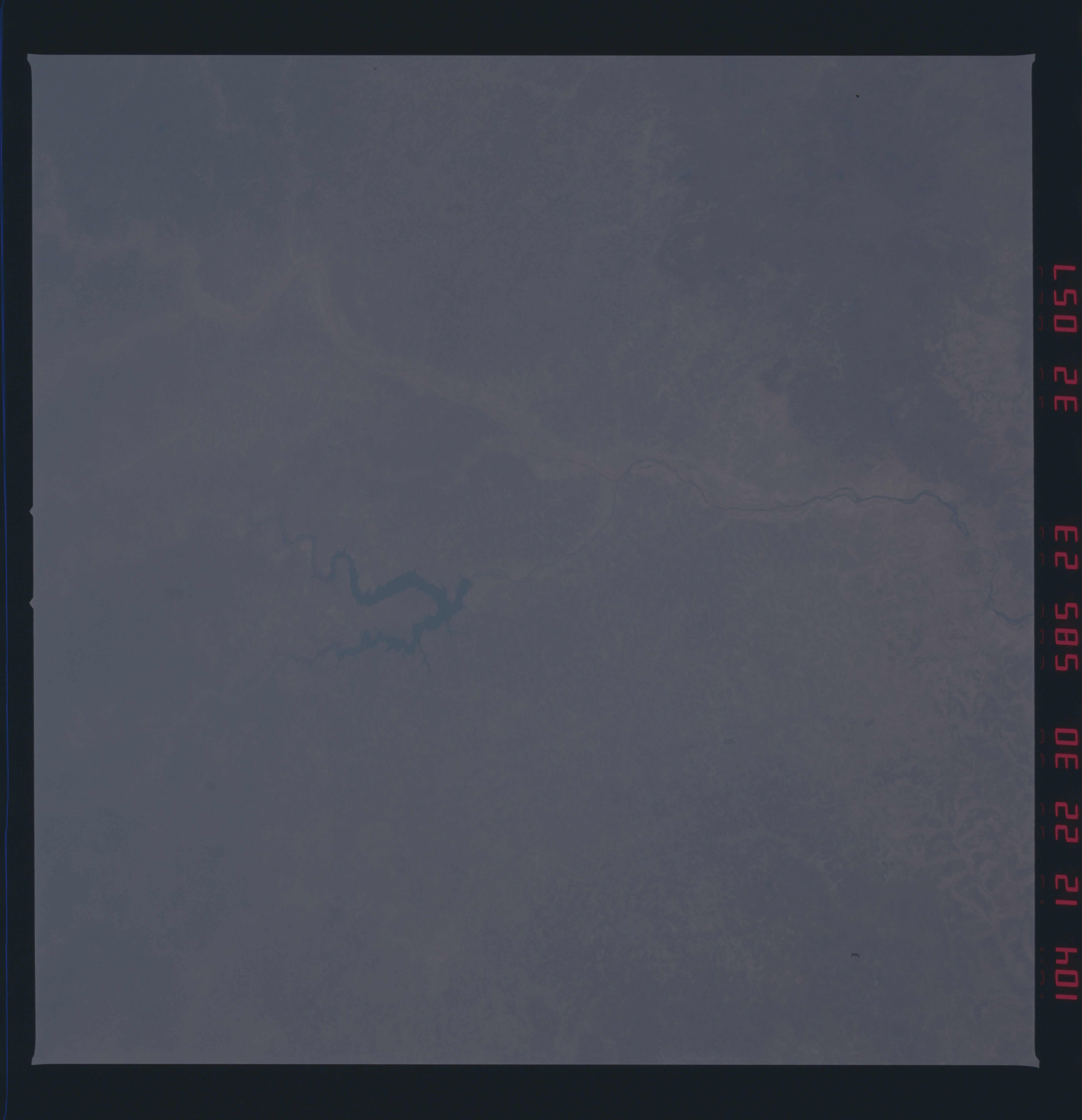
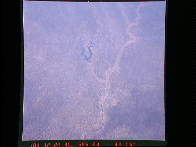
Country or Geographic Name: | MALI |
Features: | NIGER R/NEW RESERVOIR |
| Features Found Using Machine Learning: | |
Cloud Cover Percentage: | 0 (no clouds present) |
Sun Elevation Angle: | 86° |
Sun Azimuth: | 160° |
Camera: | Hasselblad |
Focal Length: | 100mm |
Camera Tilt: | 32 degrees |
Format: | 5017: Kodak, natural color positive, Ektachrome, X Professional, ASA 64, standard base |
Film Exposure: | Normal |
| Additional Information | |
| Width | Height | Annotated | Cropped | Purpose | Links |
|---|---|---|---|---|---|
| 5700 pixels | 5900 pixels | No | No | Download Image | |
| 483 pixels | 500 pixels | No | No | Download Image | |
| 640 pixels | 480 pixels | No | No | Download Image |
Download Packaged File
Download a Google Earth KML for this Image
View photo footprint information
Download a GeoTIFF for this photo
Image Caption: Two low oblique views looking southwest show the Niger River as
it leaves the Loma Mountains and begins its course eastward to
the inland delta region. The Bales River Reservoir, a new reser-
voir completed within the last decade, is visible on both views.
The city of Bamako, Mali (1) can be seen at the right center of
the bottom photograph. (61C-42-0044, 0045, 51D-32-057)
