STS51C-44-36
| NASA Photo ID | STS51C-44-36 |
| Focal Length | 100mm |
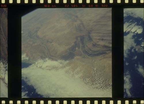
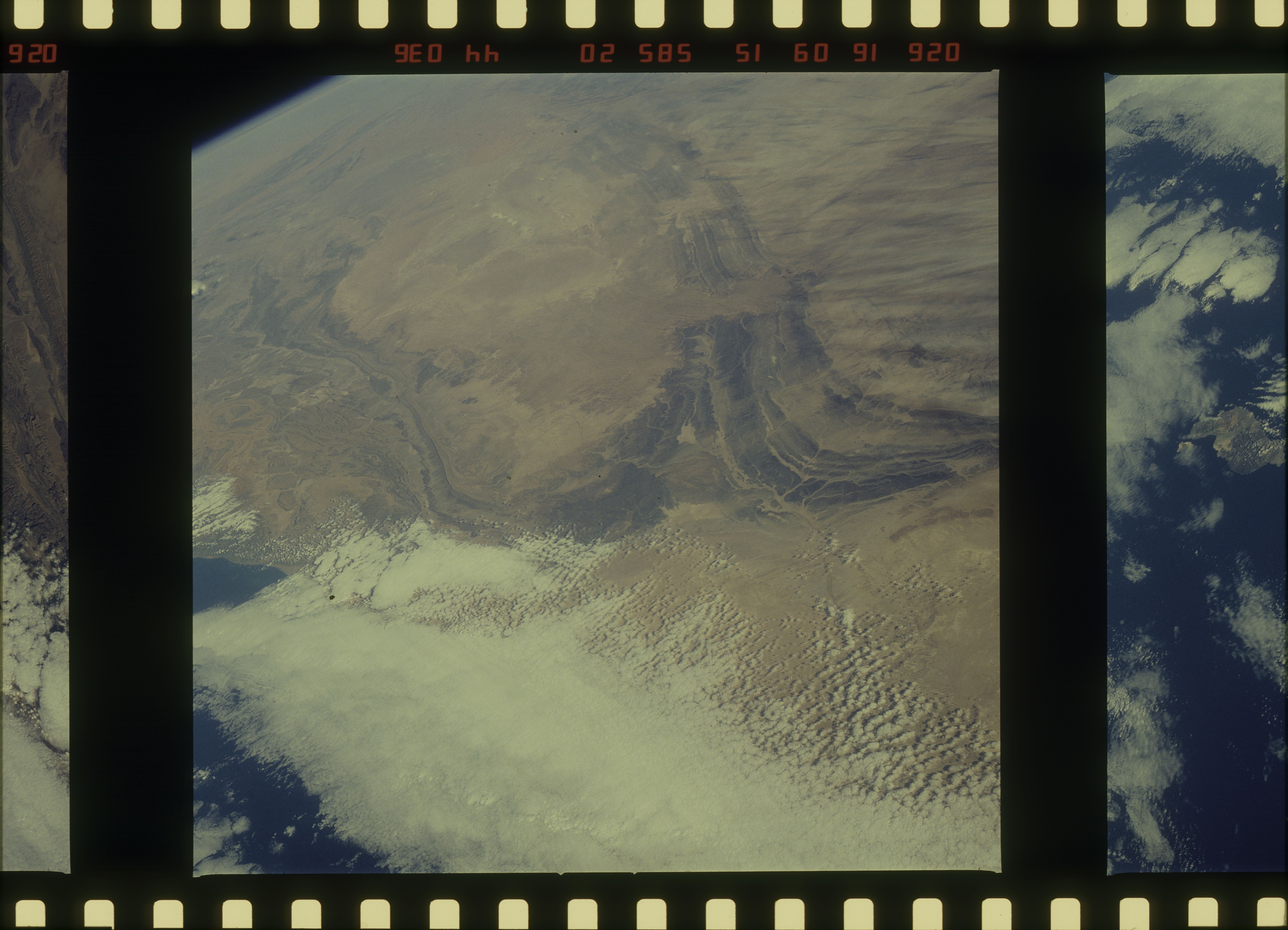
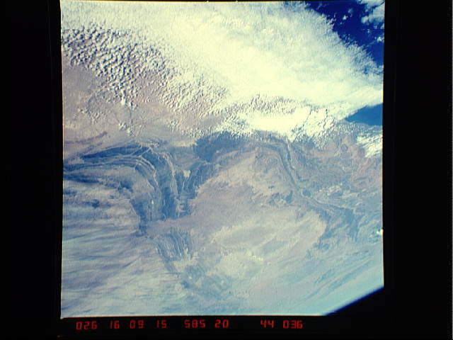
| Date taken | 1985.01.26 |
| Time taken | 16:09:15 GMT |
Cloud masks available for this image:
Spacecraft nadir point: 26.7° N, 15.7° W
Photo center point: 28.0° N, 10.5° W
Photo center point by machine learning:
Photo center point: 28.0° N, 10.5° W
Photo center point by machine learning:
Nadir to Photo Center: East
Spacecraft Altitude: 189 nautical miles (350km)
Country or Geographic Name: | MOROCCO |
Features: | ANTI ATLAS |
| Features Found Using Machine Learning: | |
Cloud Cover Percentage: | 50 (26-50)% |
Sun Elevation Angle: | 28° |
Sun Azimuth: | 227° |
Camera: | Hasselblad |
Focal Length: | 100mm |
Camera Tilt: | High Oblique |
Format: | 5017: Kodak, natural color positive, Ektachrome, X Professional, ASA 64, standard base |
Film Exposure: | Normal |
| Additional Information | |
| Width | Height | Annotated | Cropped | Purpose | Links |
|---|---|---|---|---|---|
| 6830 pixels | 4933 pixels | No | No | Download Image | |
| 500 pixels | 361 pixels | No | No | Download Image | |
| 640 pixels | 480 pixels | No | No | Download Image |
Download Packaged File
Download a Google Earth KML for this Image
View photo footprint information
Download a GeoTIFF for this photo
Image Caption: none
