STS51C-43-71
| NASA Photo ID | STS51C-43-71 |
| Focal Length | 250mm |
| Date taken | 1985.01.27 |
| Time taken | 05:44:12 GMT |
Cloud masks available for this image:
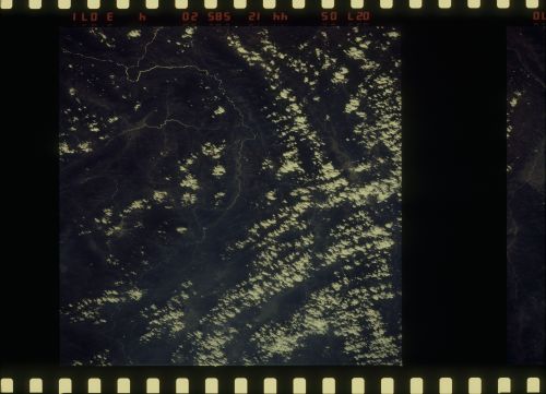
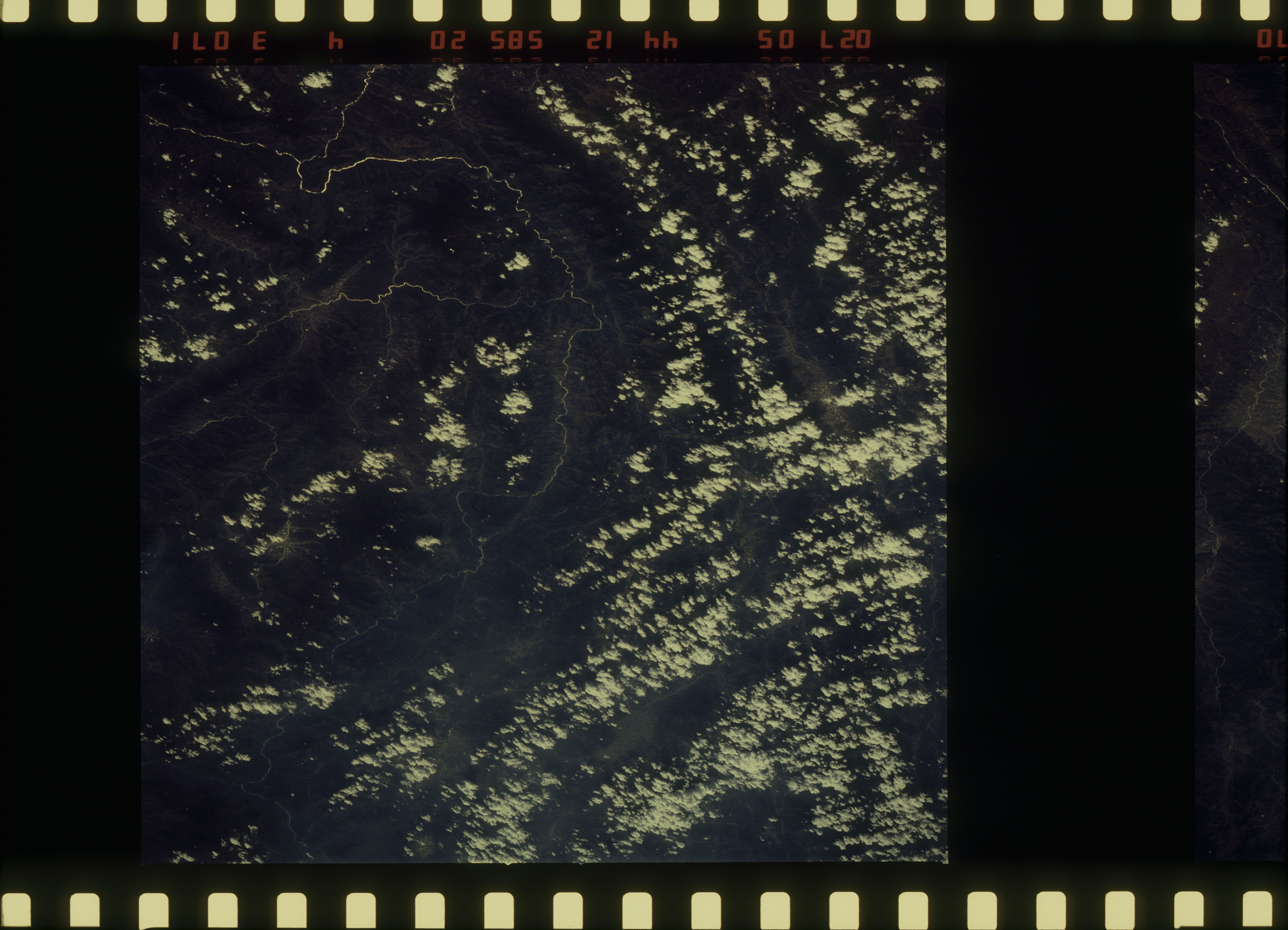
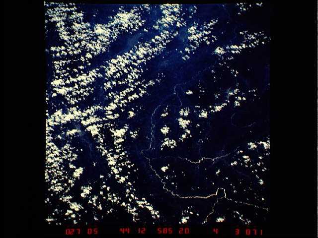
Spacecraft nadir point: 28.0° N, 100.4° E
Photo center point: 24.0° N, 100.5° E
Photo center point by machine learning:
Photo center point: 24.0° N, 100.5° E
Photo center point by machine learning:
Nadir to Photo Center: South
Spacecraft Altitude: 197 nautical miles (365km)
Country or Geographic Name: | CHINA |
Features: | MEKONG R., TRIB.-DARK |
| Features Found Using Machine Learning: | |
Cloud Cover Percentage: | 60 (51-75)% |
Sun Elevation Angle: | 43° |
Sun Azimuth: | 184° |
Camera: | Hasselblad |
Focal Length: | 250mm |
Camera Tilt: | 51 degrees |
Format: | 5017: Kodak, natural color positive, Ektachrome, X Professional, ASA 64, standard base |
Film Exposure: | Under Exposed |
| Additional Information | |
| Width | Height | Annotated | Cropped | Purpose | Links |
|---|---|---|---|---|---|
| 6830 pixels | 4936 pixels | No | No | Download Image | |
| 500 pixels | 361 pixels | No | No | Download Image | |
| 640 pixels | 480 pixels | No | No | Download Image |
Download Packaged File
Download a Google Earth KML for this Image
View photo footprint information
Download a GeoTIFF for this photo
Image Caption: none
