STS51B-53-89
| NASA Photo ID | STS51B-53-89 |
| Focal Length | 250mm |
| Date taken | 1985.05.05 |
| Time taken | 00:39:35 GMT |
Cloud masks available for this image:
Spacecraft nadir point: 45.0° N, 118.8° W
Photo center point: 41.0° N, 122.5° W
Photo center point by machine learning:
Photo center point: 41.0° N, 122.5° W
Photo center point by machine learning:
Nadir to Photo Center: Southwest
Spacecraft Altitude: 196 nautical miles (363km)
Country or Geographic Name: | USA-CALIFORNIA |
Features: | MOUNT SHASTA |
| Features Found Using Machine Learning: | |
Cloud Cover Percentage: | 10 (1-10)% |
Sun Elevation Angle: | 24° |
Sun Azimuth: | 269° |
Camera: | Hasselblad |
Focal Length: | 250mm |
Camera Tilt: | Low Oblique |
Format: | 5017: Kodak, natural color positive, Ektachrome, X Professional, ASA 64, standard base |
Film Exposure: | Normal |
| Additional Information | |
| Width | Height | Annotated | Cropped | Purpose | Links |
|---|---|---|---|---|---|
| 5700 pixels | 5900 pixels | No | No | Download Image | |
| 500 pixels | 518 pixels | No | No | Download Image |
Download Packaged File
Download a Google Earth KML for this Image
View photo footprint information
Download a GeoTIFF for this photo
Image Caption:
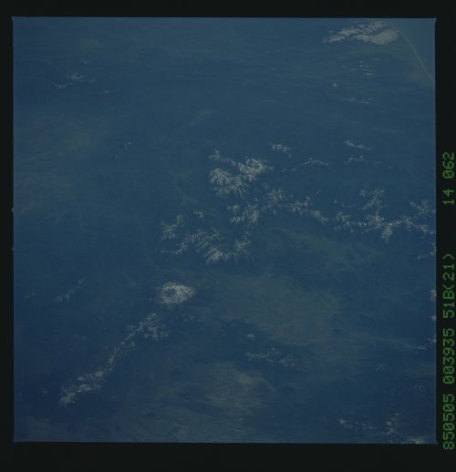
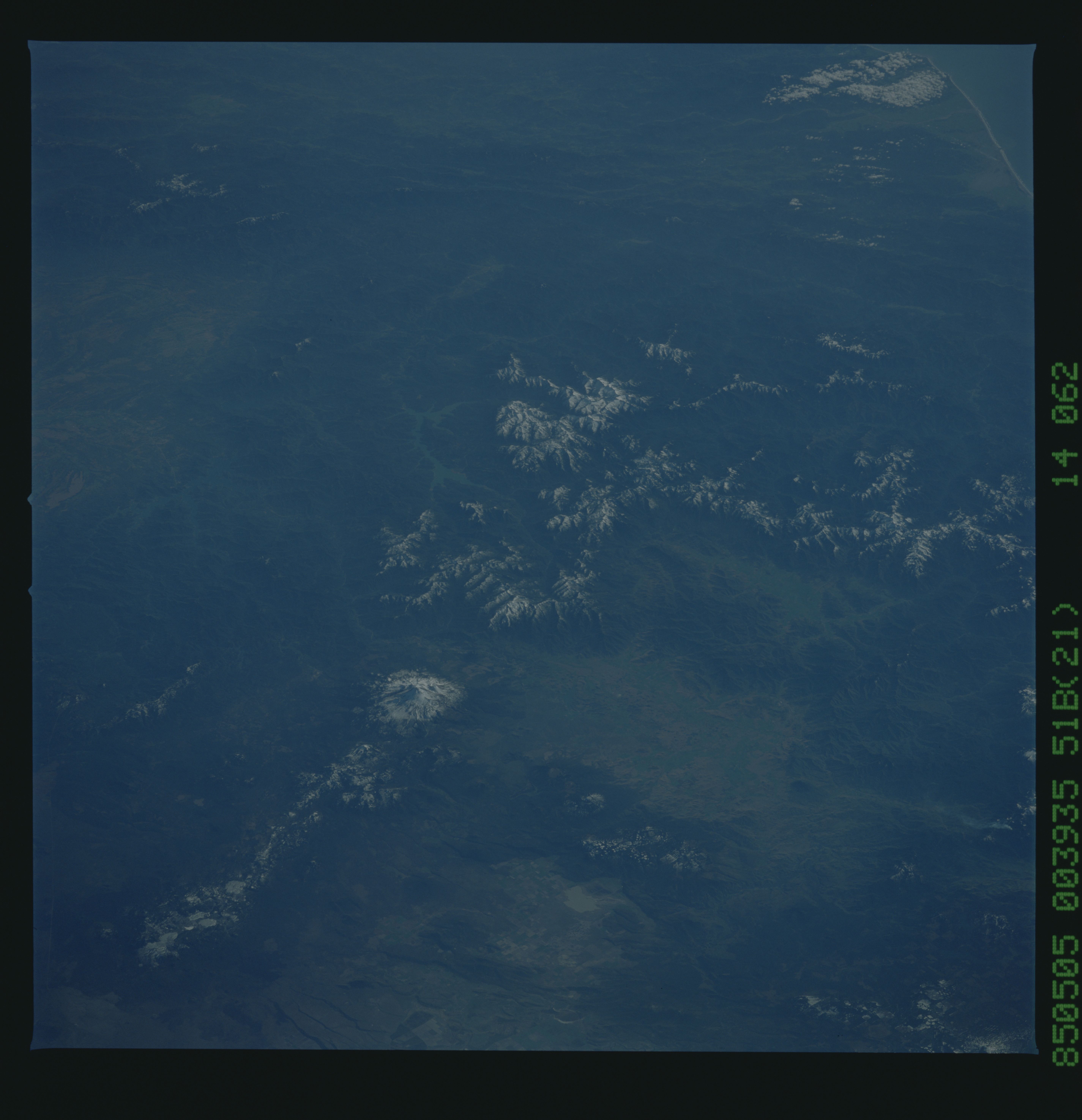
Mt. Shasta/Klamath Mountains
A view looking south shows snow-covered Mount Shasta in the
southern Cascades. Lava flows from past eruptions can be seen
around the base of the mountain. The rugged terrain of the
Klamath Mountains (1) can also be seen. (STS51B-53-089)
Mt. Shasta/Klamath Mountains
A view looking south shows snow-covered Mount Shasta in the
southern Cascades. Lava flows from past eruptions can be seen
around the base of the mountain. The rugged terrain of the
Klamath Mountains (1) can also be seen. (STS51B-53-089)
