STS51B-52-35
| NASA Photo ID | STS51B-52-35 |
| Focal Length | 250mm |
| Date taken | 1985.05.02 |
| Time taken | 17:22:18 GMT |
Resolutions offered for this image:
3857 x 3904 pixels 632 x 639 pixels 5700 x 5900 pixels 500 x 518 pixels
3857 x 3904 pixels 632 x 639 pixels 5700 x 5900 pixels 500 x 518 pixels
Cloud masks available for this image:
Spacecraft nadir point: 32.0° N, 112.7° W
Photo center point: 33.0° N, 111.5° W
Photo center point by machine learning:
Photo center point: 33.0° N, 111.5° W
Photo center point by machine learning:
Nadir to Photo Center: Northeast
Spacecraft Altitude: 192 nautical miles (356km)
Country or Geographic Name: | USA-ARIZONA |
Features: | AGRICULTURE |
| Features Found Using Machine Learning: | |
Cloud Cover Percentage: | 0 (no clouds present) |
Sun Elevation Angle: | 57° |
Sun Azimuth: | 112° |
Camera: | Hasselblad |
Focal Length: | 250mm |
Camera Tilt: | 26 degrees |
Format: | 5017: Kodak, natural color positive, Ektachrome, X Professional, ASA 64, standard base |
Film Exposure: | Normal |
| Additional Information | |
| Width | Height | Annotated | Cropped | Purpose | Links |
|---|---|---|---|---|---|
| 3857 pixels | 3904 pixels | No | No | Earth From Space collection | Download Image |
| 632 pixels | 639 pixels | No | No | Earth From Space collection | Download Image |
| 5700 pixels | 5900 pixels | No | No | Download Image | |
| 500 pixels | 518 pixels | No | No | Download Image |
Download Packaged File
Download a Google Earth KML for this Image
View photo footprint information
Download a GeoTIFF for this photo
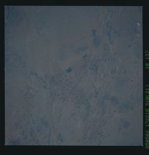
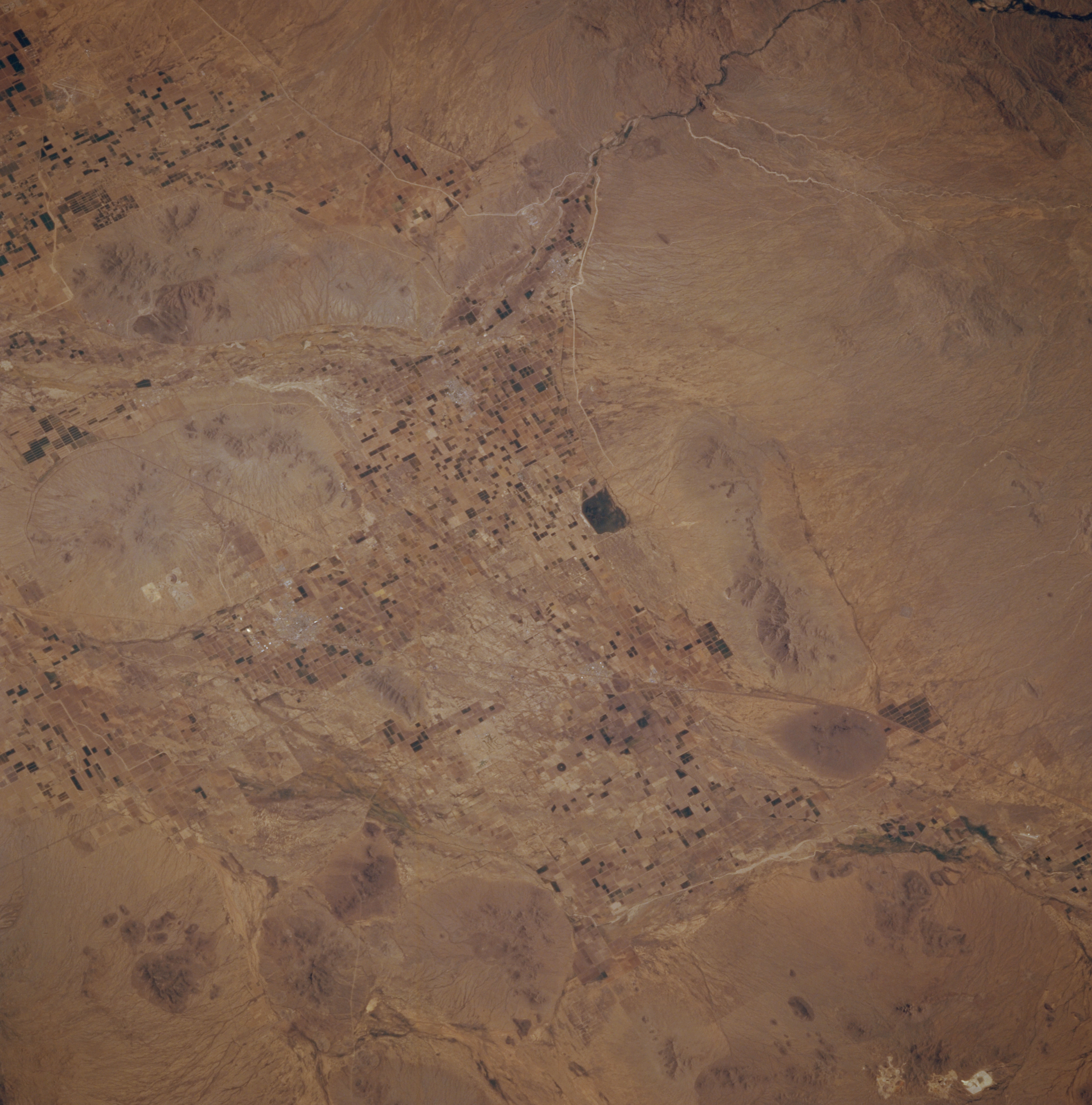
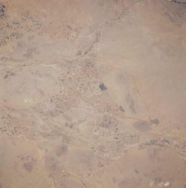
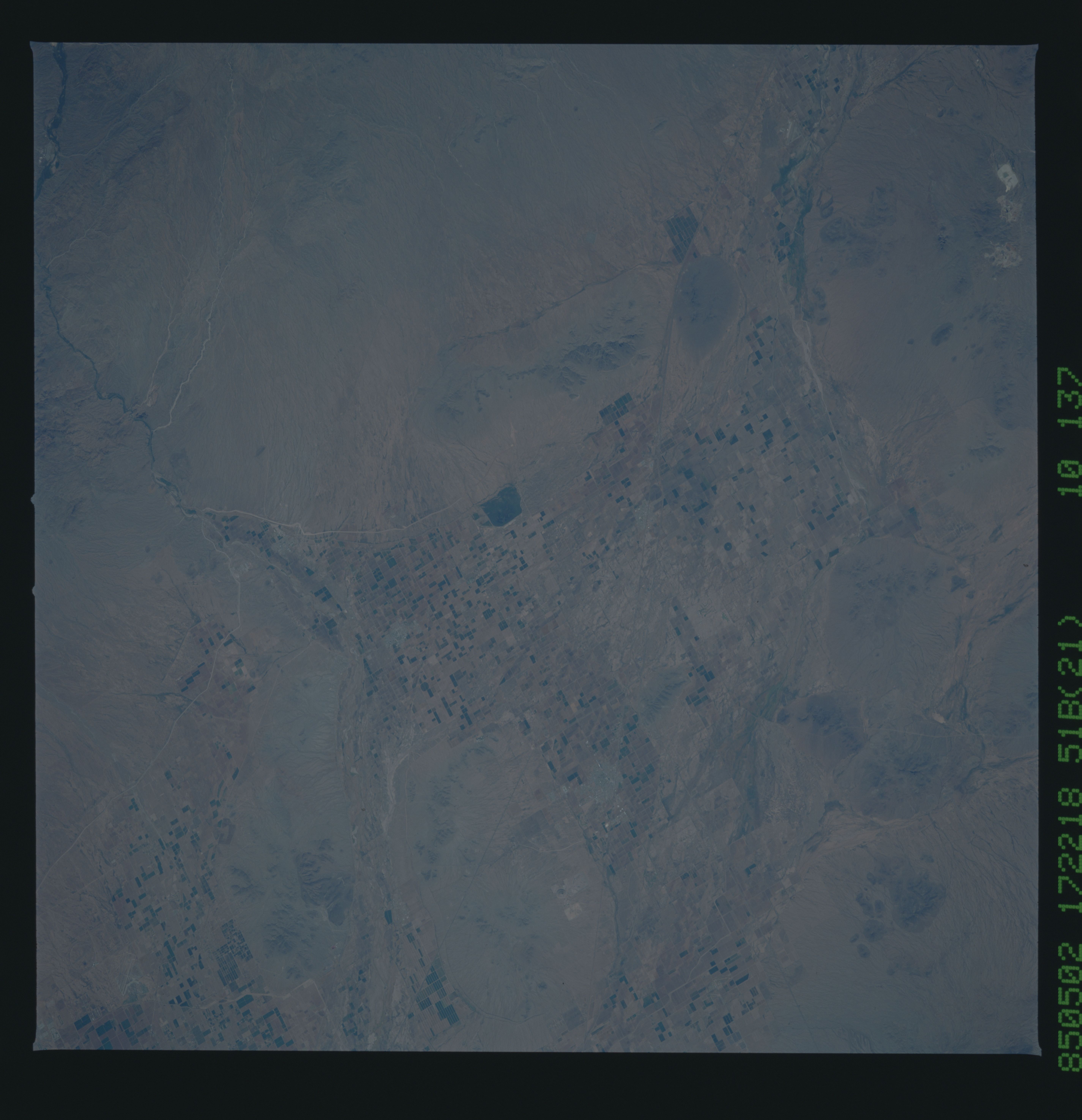
Image Caption: STS51B-052-0035 Agriculture, Southeast of Phoenix, Arizona, U.S.A. May 1985
Dark brown rectangles scattered throughout the valleys reveal cultivated fields southeast of Phoenix where adequate water is available for irrigation. The key landmarks in the photograph--the three small desert towns of Casa Grande, Coolidge, and Eloy--are situated in a triangle in the midst of several small mountains. Several drainage features can be identified; however, the major water course is the Santa Cruz River, which is oriented in a southeast-northwest alignment.
Dark brown rectangles scattered throughout the valleys reveal cultivated fields southeast of Phoenix where adequate water is available for irrigation. The key landmarks in the photograph--the three small desert towns of Casa Grande, Coolidge, and Eloy--are situated in a triangle in the midst of several small mountains. Several drainage features can be identified; however, the major water course is the Santa Cruz River, which is oriented in a southeast-northwest alignment.
