STS51B-41-80
| NASA Photo ID | STS51B-41-80 |
| Focal Length | 250mm |
| Date taken | 1985.__.__ |
| Time taken | GMT |
Cloud masks available for this image:
Spacecraft nadir point:
Photo center point: 32.5° S, 138.0° E
Photo center point by machine learning:
Photo center point: 32.5° S, 138.0° E
Photo center point by machine learning:
Nadir to Photo Center:
Spacecraft Altitude: nautical miles (0km)
Country or Geographic Name: | AUSTRALIA-SA |
Features: | PORT AUGUSTA |
| Features Found Using Machine Learning: | |
Cloud Cover Percentage: | 20 (11-25)% |
Sun Elevation Angle: | ° |
Sun Azimuth: | ° |
Camera: | Hasselblad |
Focal Length: | 250mm |
Camera Tilt: | Low Oblique |
Format: | 5017: Kodak, natural color positive, Ektachrome, X Professional, ASA 64, standard base |
Film Exposure: | Normal |
| Additional Information | |
| Width | Height | Annotated | Cropped | Purpose | Links |
|---|---|---|---|---|---|
| 5700 pixels | 5900 pixels | No | No | Download Image | |
| 500 pixels | 518 pixels | No | No | Download Image |
Download Packaged File
Download a Google Earth KML for this Image
View photo footprint information
Download a GeoTIFF for this photo
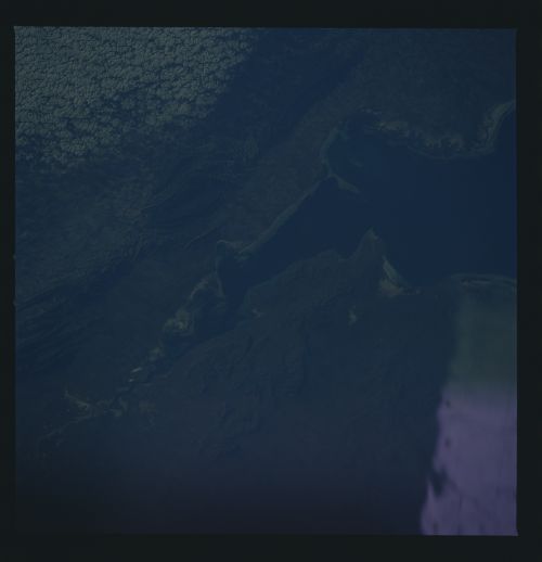
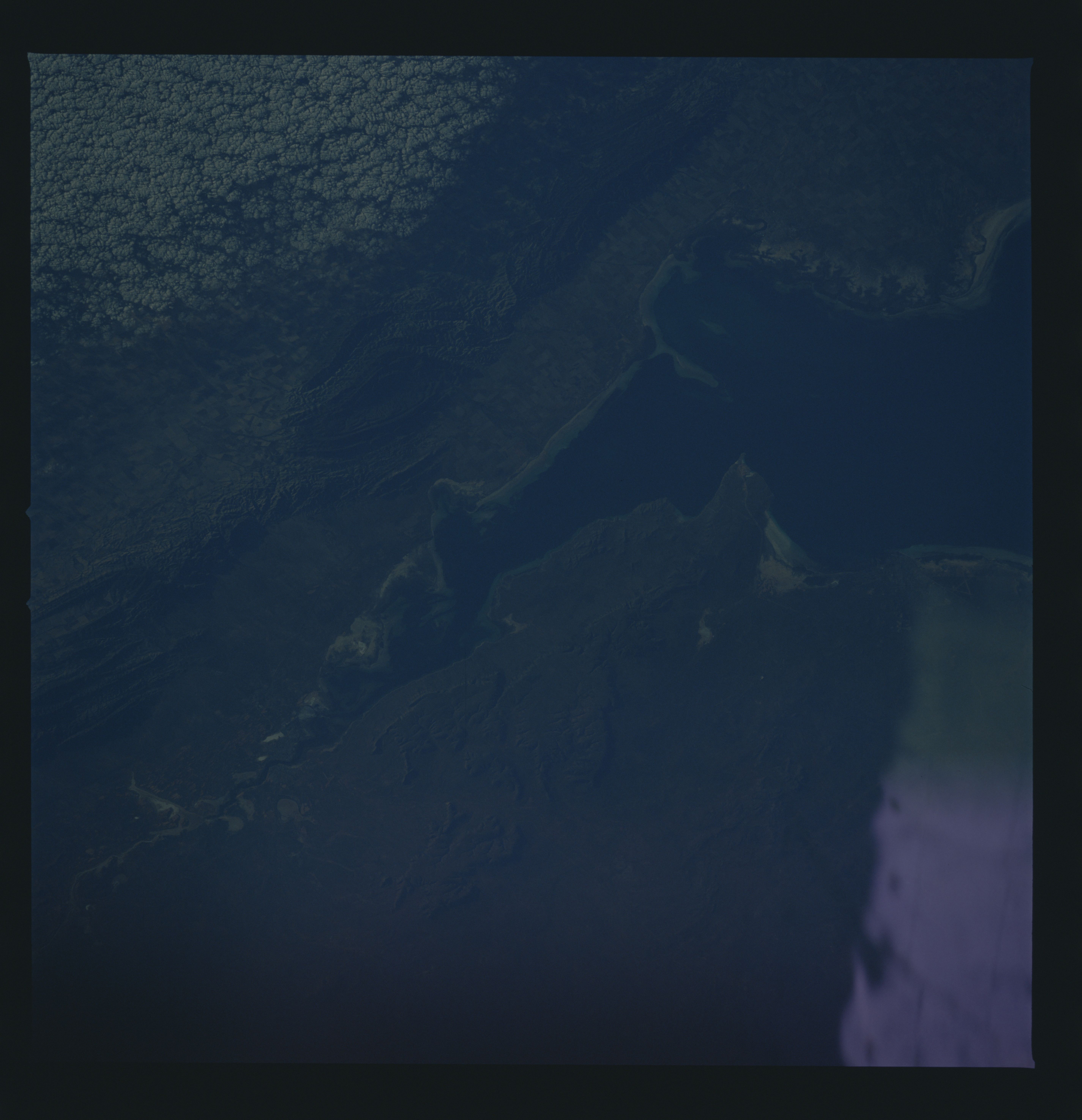
Image Caption: Port Augusta (1), Port Pirie (2), Wyalla (3), and Wallaroo are
major ports in the Spencer Gulf. 120 miles of the Gulf can be
seen here. Gulf of St. Vincent appears at the bottom. Most prom-
inent is the patchwork pattern of numerous wheat, vegetable, and
fruit farms in this highly productive, humid part of Australia.
The mountainous spine of the Flinders Range can be seen down the
entire right edge of the mosaic. (61A-467-0002, 51B-41-80)
