STS51B-38-102
| NASA Photo ID | STS51B-38-102 |
| Focal Length | 250mm |
| Date taken | 1985.__.__ |
| Time taken | GMT |
Resolutions offered for this image:
3904 x 3904 pixels 639 x 639 pixels 5700 x 5900 pixels 500 x 518 pixels
3904 x 3904 pixels 639 x 639 pixels 5700 x 5900 pixels 500 x 518 pixels

Cloud masks available for this image:
Spacecraft nadir point:
Photo center point: 48.0° N, 114.0° W
Photo center point by machine learning:
Photo center point: 48.0° N, 114.0° W
Photo center point by machine learning:
Nadir to Photo Center:
Spacecraft Altitude: nautical miles (0km)
Country or Geographic Name: | USA-MONTANA |
Features: | FLATHEAD LAKE |
| Features Found Using Machine Learning: | |
Cloud Cover Percentage: | 20 (11-25)% |
Sun Elevation Angle: | ° |
Sun Azimuth: | ° |
Camera: | Hasselblad |
Focal Length: | 250mm |
Camera Tilt: | Near Vertical |
Format: | 5017: Kodak, natural color positive, Ektachrome, X Professional, ASA 64, standard base |
Film Exposure: | Normal |
| Additional Information | |
| Width | Height | Annotated | Cropped | Purpose | Links |
|---|---|---|---|---|---|
| 3904 pixels | 3904 pixels | No | No | Earth From Space collection | Download Image |
| 639 pixels | 639 pixels | No | No | Earth From Space collection | Download Image |
| 5700 pixels | 5900 pixels | No | No | Download Image | |
| 500 pixels | 518 pixels | No | No | Download Image |
Download Packaged File
Download a Google Earth KML for this Image
View photo footprint information
Download a GeoTIFF for this photo
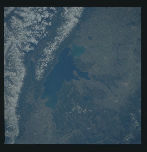
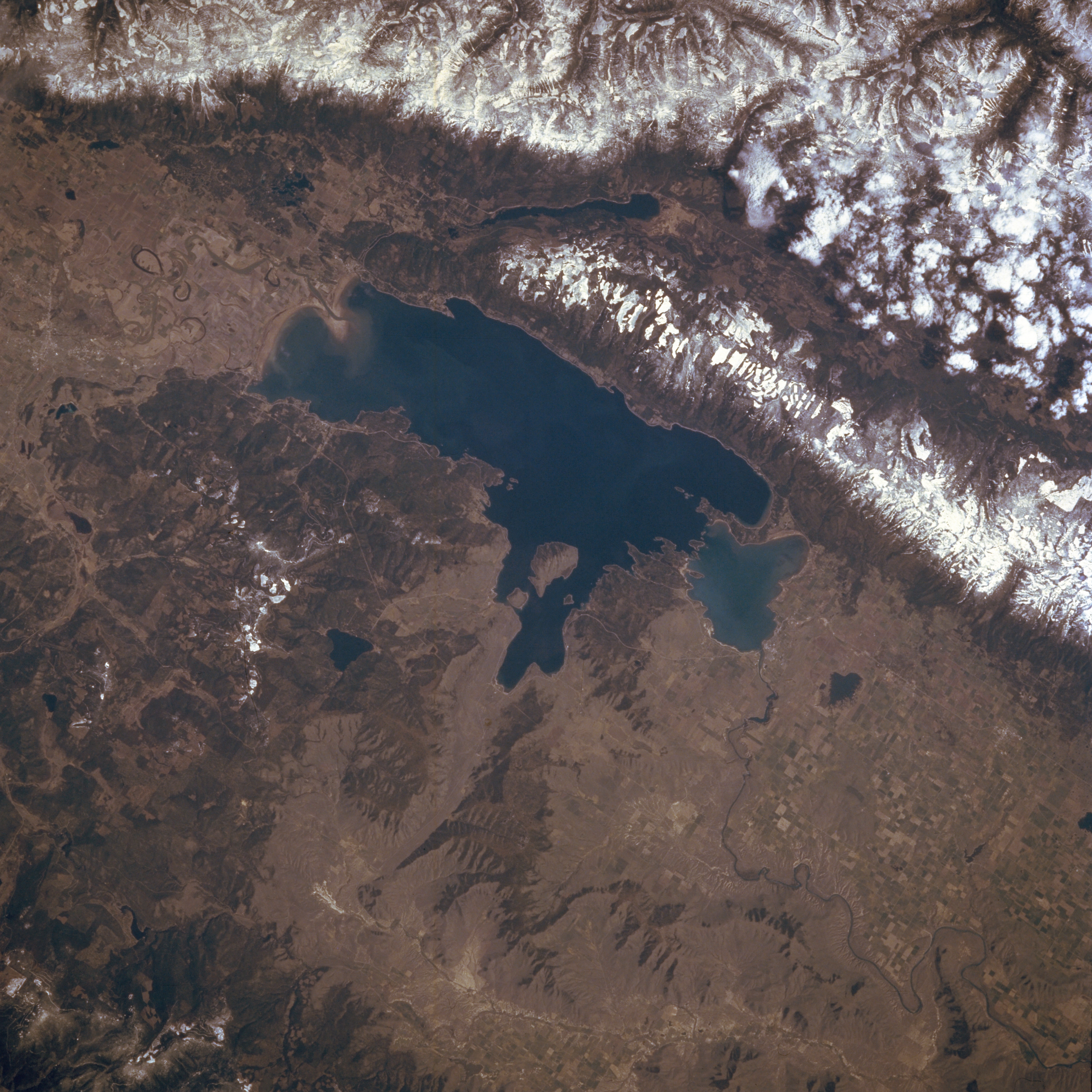
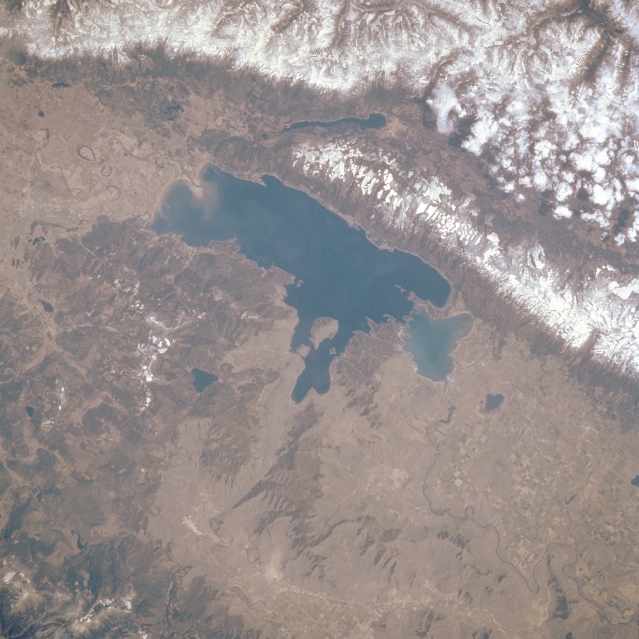
Image Caption: STS51B-038-0102 Flathead Lake, Montana, U.S.A. May 1985
The irregular shoreline of Flathead Lake is discernible in this northeast-looking, low-oblique photograph. The lake [30 miles (48 kilometers) long and 12 to 14 miles (19 to 23 kilometers) wide], located in a depression that remained after a large block of ice retreated during the last ice age, is used for recreation and some irrigation. Kalispell is barely discernible north of the lake. East of the lake are the snow-covered, rugged peaks of the Mission Range, east of which is elongated, glacier-carved Swan Valley. Clouds overhang the peaks of the Swan Range, which is east of Swan Valley. To the east-northeast of Flathead Lake is Swan Lake, and to the west are the lower, less rugged Salish Mountains. Agricultural field patterns appear south of the lake in Flathead Valley.
The irregular shoreline of Flathead Lake is discernible in this northeast-looking, low-oblique photograph. The lake [30 miles (48 kilometers) long and 12 to 14 miles (19 to 23 kilometers) wide], located in a depression that remained after a large block of ice retreated during the last ice age, is used for recreation and some irrigation. Kalispell is barely discernible north of the lake. East of the lake are the snow-covered, rugged peaks of the Mission Range, east of which is elongated, glacier-carved Swan Valley. Clouds overhang the peaks of the Swan Range, which is east of Swan Valley. To the east-northeast of Flathead Lake is Swan Lake, and to the west are the lower, less rugged Salish Mountains. Agricultural field patterns appear south of the lake in Flathead Valley.
