STS51B-35-32

| NASA Photo ID | STS51B-35-32 |
| Focal Length | 100mm |
| Date taken | 1985.05.01 |
| Time taken | 13:44:26 GMT |
Resolutions offered for this image:
5700 x 5900 pixels 500 x 518 pixels 5179 x 5117 pixels 1258 x 1223 pixels
5700 x 5900 pixels 500 x 518 pixels 5179 x 5117 pixels 1258 x 1223 pixels


Cloud masks available for this image:
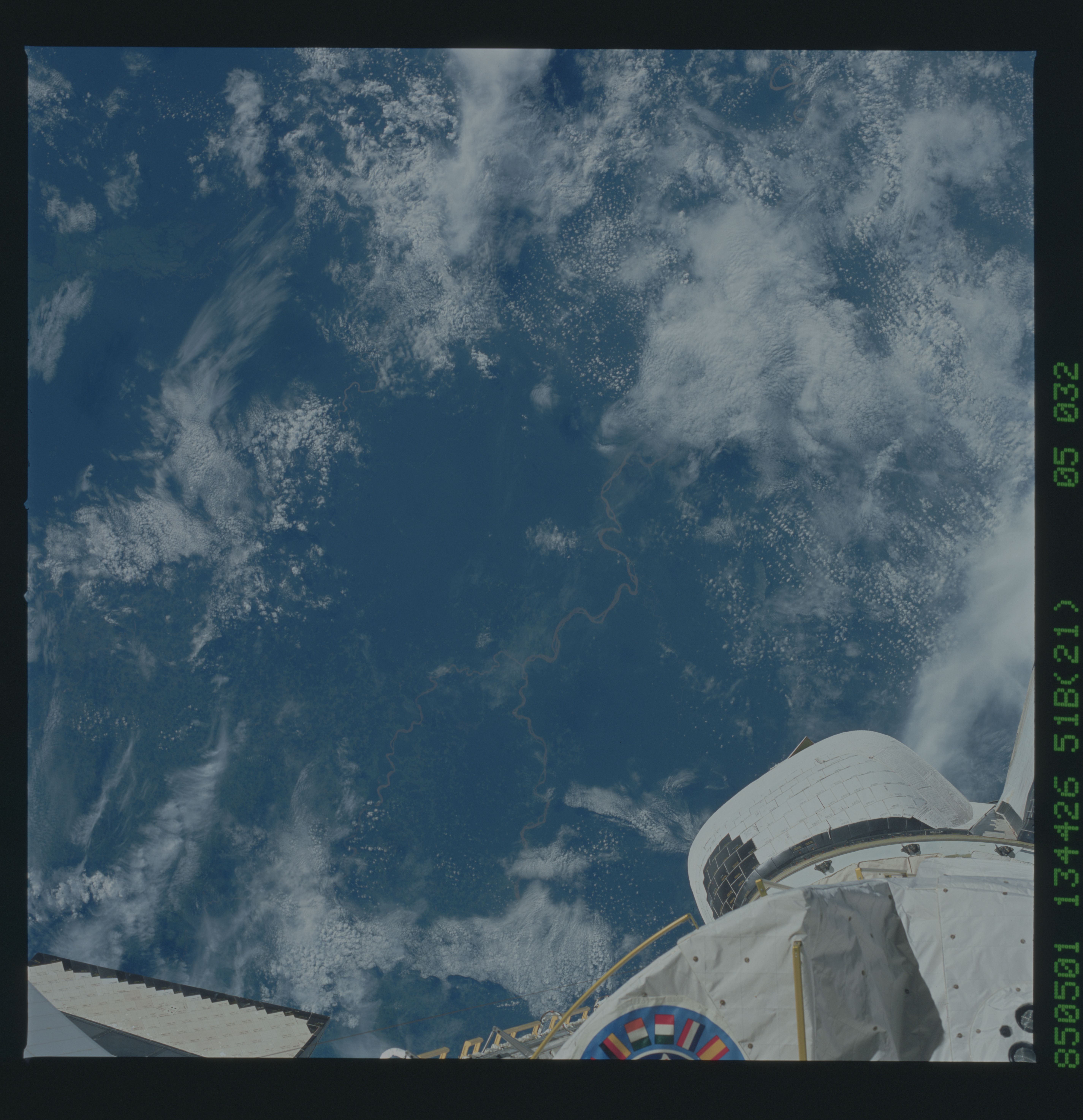
Spacecraft nadir point: 0.0° N, 75.7° W
Photo center point: 0.5° N, 75.0° W
Photo center point by machine learning:
Photo center point: 0.5° N, 75.0° W
Photo center point by machine learning:
Nadir to Photo Center: Northeast
Spacecraft Altitude: 189 nautical miles (350km)
Country or Geographic Name: | COLOMBIA |
Features: | RIO CAQUETA |
| Features Found Using Machine Learning: | |
Cloud Cover Percentage: | 60 (51-75)% |
Sun Elevation Angle: | 39° |
Sun Azimuth: | 70° |
Camera: | Hasselblad |
Focal Length: | 100mm |
Camera Tilt: | 15 degrees |
Format: | 5017: Kodak, natural color positive, Ektachrome, X Professional, ASA 64, standard base |
Film Exposure: | Normal |
| Additional Information | |
| Width | Height | Annotated | Cropped | Purpose | Links |
|---|---|---|---|---|---|
| 5700 pixels | 5900 pixels | No | No | Download Image | |
| 500 pixels | 518 pixels | No | No | Download Image | |
| 5179 pixels | 5117 pixels | No | No | Download Image | |
| 1258 pixels | 1223 pixels | Download Image |
Download Packaged File
Download a Google Earth KML for this Image
View photo footprint information
Download a GeoTIFF for this photo
Image Caption: none
