STS51A-36-7
| NASA Photo ID | STS51A-36-7 |
| Focal Length | 100mm |
| Date taken | 1984.11.10 |
| Time taken | 17:27:14 GMT |

Cloud masks available for this image:
Spacecraft nadir point: 0.5° N, 77.7° W
Photo center point: 0.5° N, 78.0° W
Photo center point by machine learning:
Photo center point: 0.5° N, 78.0° W
Photo center point by machine learning:
Nadir to Photo Center: West
Spacecraft Altitude: 169 nautical miles (313km)
Camera: | Hasselblad |
Focal Length: | 100mm |
Camera Tilt: | 6 degrees |
Format: | 6017: Kodak Ektachrome 64, 220 Roll Format |
Film Exposure: | Under Exposed |
| Additional Information | |
| Width | Height | Annotated | Cropped | Purpose | Links |
|---|---|---|---|---|---|
| 5700 pixels | 5900 pixels | No | No | Download Image | |
| 483 pixels | 500 pixels | No | No | Download Image | |
| 640 pixels | 480 pixels | No | No | Download Image |
Download Packaged File
Download a Google Earth KML for this Image
View photo footprint information
Download a GeoTIFF for this photo
Image Caption:
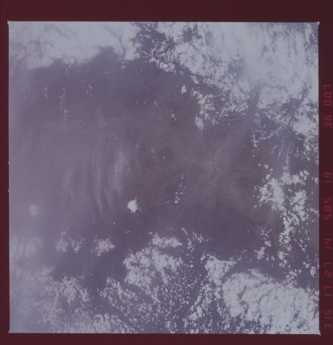
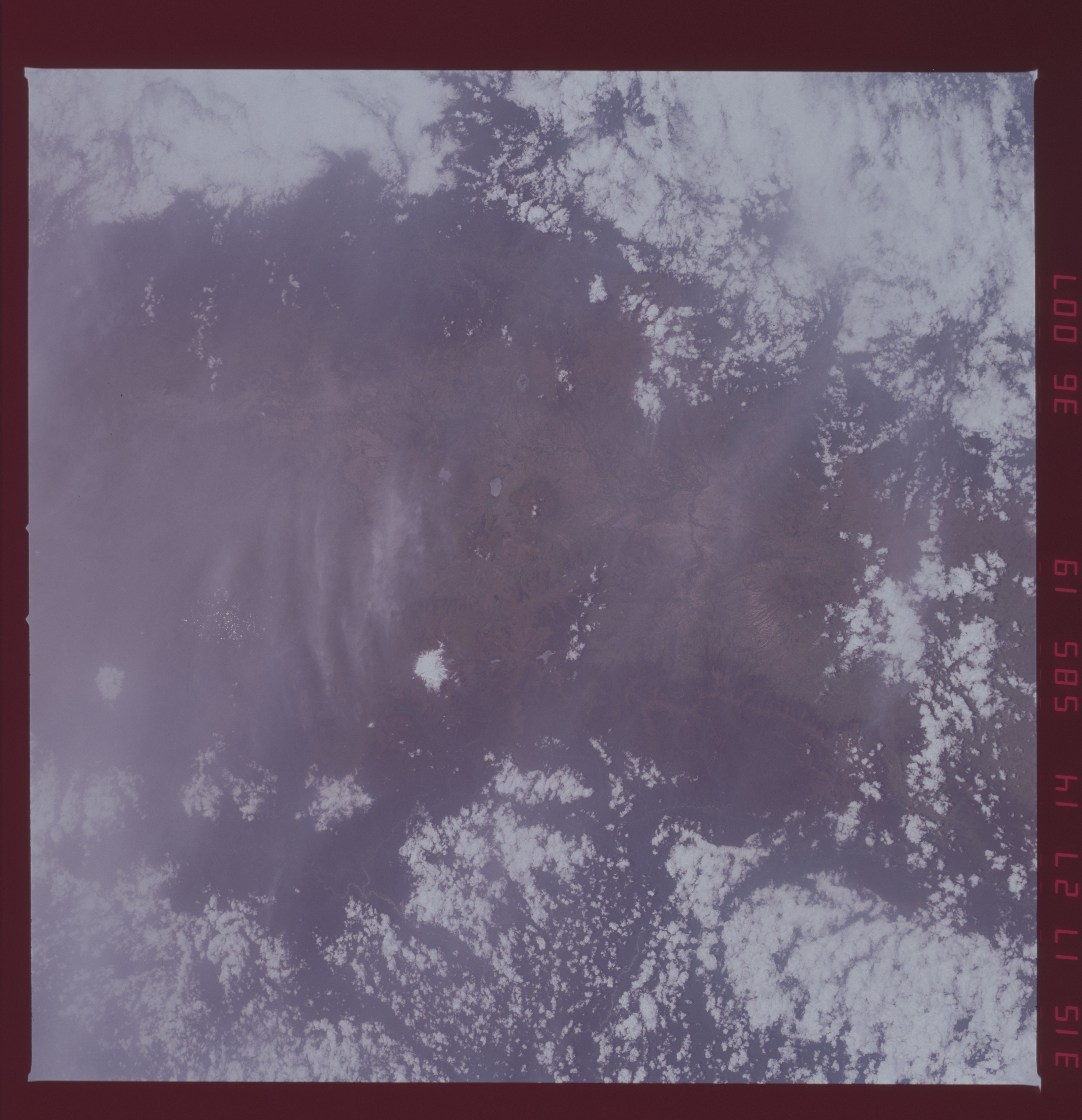
Neck of Cuba
Near-vertical view that shows the narrowest width of land, less
than 20 miles in a north/south direction in Cuba. This scene
represents a very diverse land use pattern. For example Havana,
the largest (over 2 million people in the greater Havanna area)
and capital city of Cuba is located near the top, right side of
the photo. Major highways can be seen radiating out from Havan-
na: several airports are visible at various locations near Ha-
vanna. The rural areas south of Havanna show some of the weath-
ered limestone soils that are deep red in color. This weathered
limestone is renown as one of the world's best sugarcane soils.
A narrow band of dissected (by canals) mangrove swamp can be seen
along the southern coastline. (51A-36-07)
