STS51A-34-110
| NASA Photo ID | STS51A-34-110 |
| Focal Length | 250mm |
| Date taken | 1984.11.10 |
| Time taken | 15:50:22 GMT |
Cloud masks available for this image:
Spacecraft nadir point: 11.9° N, 74.8° W
Photo center point: 11.0° N, 75.0° W
Photo center point by machine learning:
Photo center point: 11.0° N, 75.0° W
Photo center point by machine learning:
Nadir to Photo Center: South
Spacecraft Altitude: 170 nautical miles (315km)
Country or Geographic Name: | COLOMBIA |
Features: | CURRENT INTERFACES |
| Features Found Using Machine Learning: | |
Cloud Cover Percentage: | 30 (26-50)% |
Sun Elevation Angle: | 57° |
Sun Azimuth: | 155° |
Camera: | Hasselblad |
Focal Length: | 250mm |
Camera Tilt: | 18 degrees |
Format: | 6017: Kodak Ektachrome 64, 220 Roll Format |
Film Exposure: | Normal |
| Additional Information | |
| Width | Height | Annotated | Cropped | Purpose | Links |
|---|---|---|---|---|---|
| 5700 pixels | 5900 pixels | No | No | Download Image | |
| 483 pixels | 500 pixels | No | No | Download Image | |
| 640 pixels | 480 pixels | No | No | Download Image |
Download Packaged File
Download a Google Earth KML for this Image
View photo footprint information
Download a GeoTIFF for this photo
Image Caption:
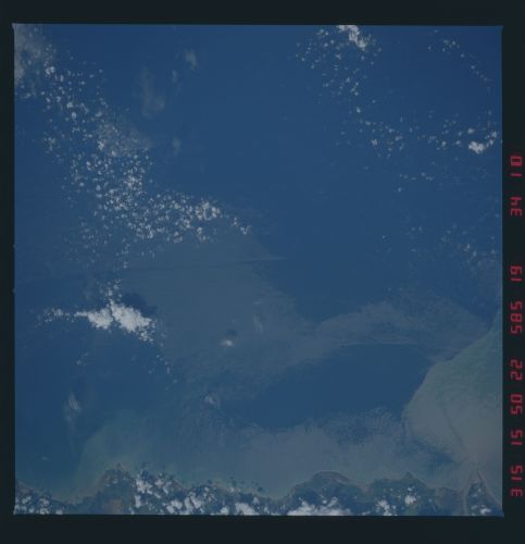
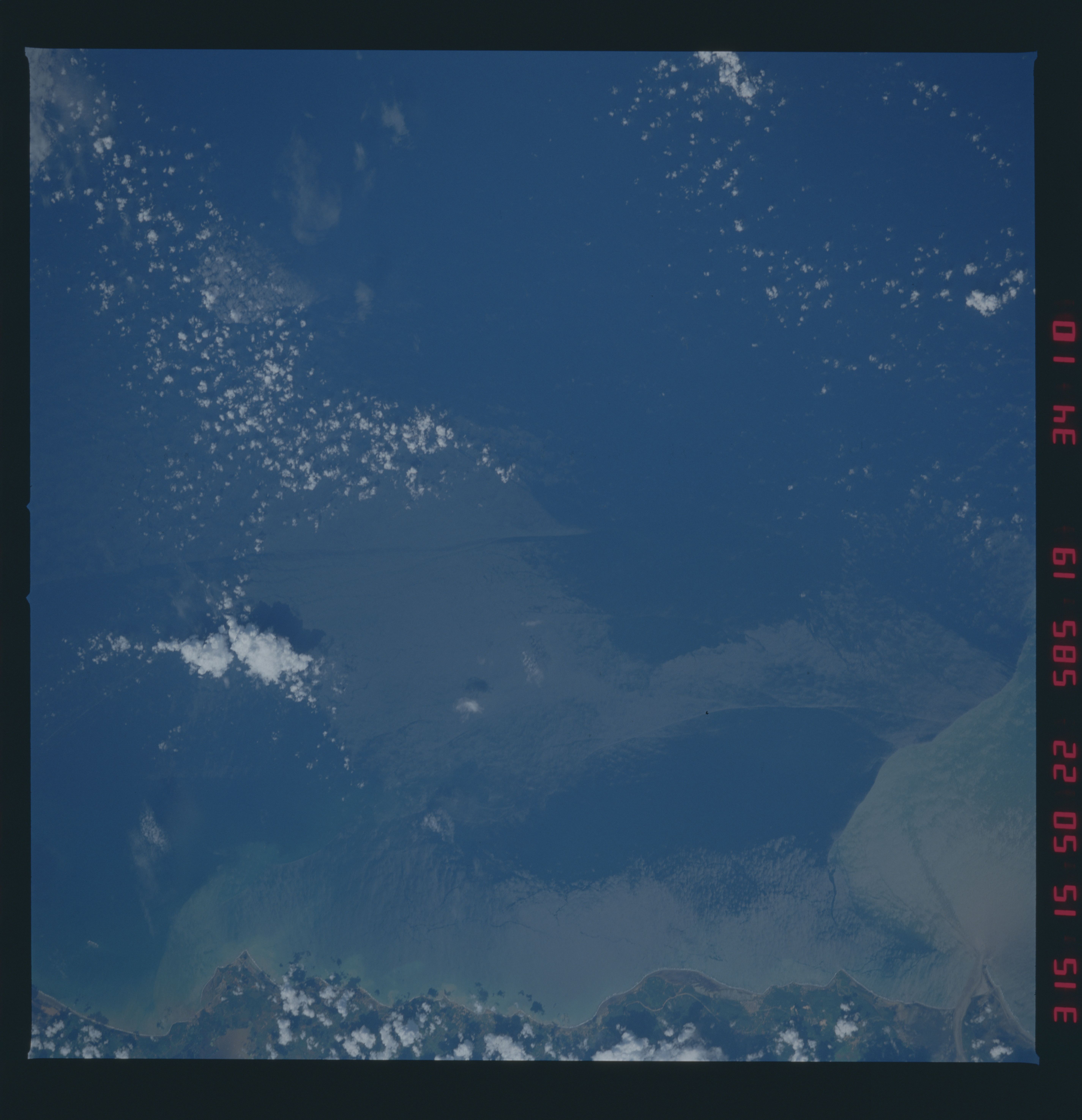
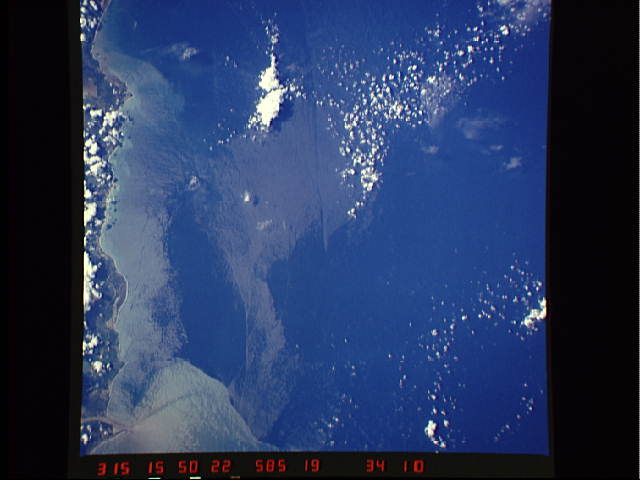
Caribbean Sea current interface
Two near-vertical views, show a number of current interfaces off
the Colombian coast. The views were taken in November 1984. The
top photograph taken in sunglint, shows the mouth of the Magdela-
na River as it enters the Caribbean. Sediment from the river
mixes with the sea water. Cooler, deeper ocean waters upwell just
offshore. The bottom view gives a different perspective of the
same area. Taken just out of the sunglint, the surface features
take on a slightly different pattern and different color. Both
type of views of surface patterns are desirable. (51A-34-109,
110)
